Old photos of Batumi
220 photographs of Batumi, from 1885 to 2025 — each pinned to the exact place it was taken.
Batumi, on Georgia's Black Sea coast near the Turkish border, occupies a site known in antiquity as Bathys and mentioned by ancient Greek and Roman writers. For most of its history it was a small fortified harbour. It came under Ottoman control in the 16th century and remained a minor port until the Russian Empire acquired it after the Russo-Turkish War of 1877-78.
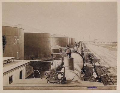
The decades that followed transformed the town. Batumi was declared a free port, and the railway from Baku via Tiflis reached it in the 1880s, making it the main outlet for Caspian oil to Europe. Pipelines, refineries and warehouses were built, and firms connected with the Rothschild and Nobel families operated in the city. A planned grid of streets, a seafront boulevard and eclectic European-style houses date from this boom. After a short period under the independent Georgian republic, Batumi became the capital of the Adjara autonomous republic within Soviet Georgia in 1921.
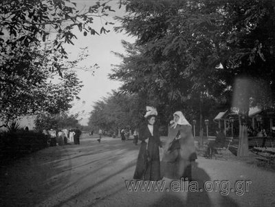
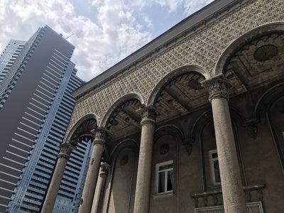
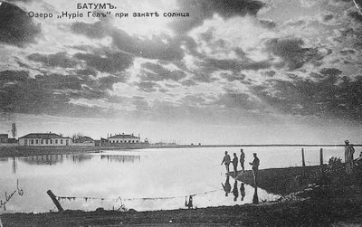
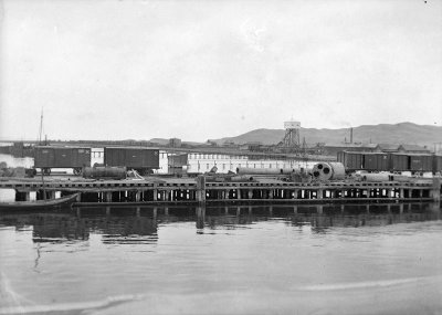
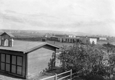
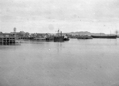
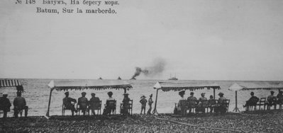
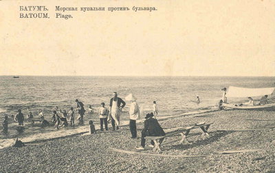
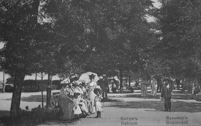
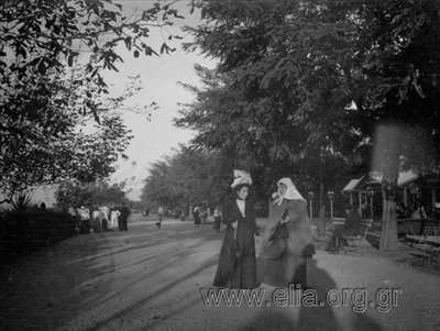
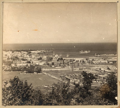
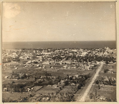
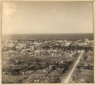
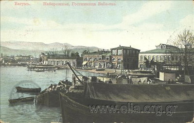
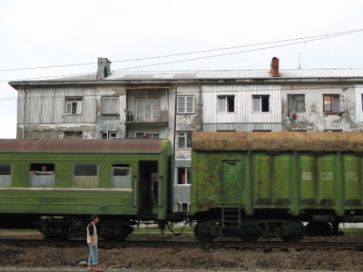
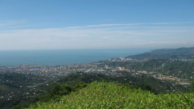
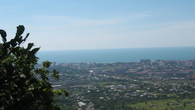
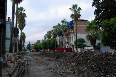
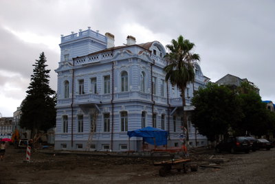
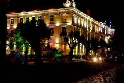
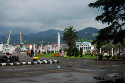
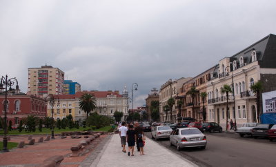
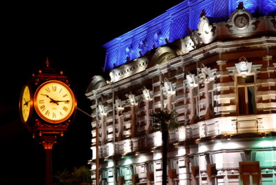
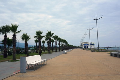
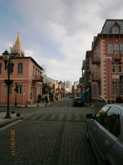
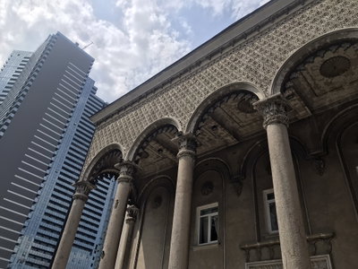
Old photographs of Batumi typically show the harbour crowded with steamers and oil tankers, the boulevard with its palms and bathing huts, the customs house and the low 19th-century commercial streets behind the port.
What the photos show
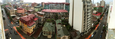
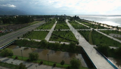
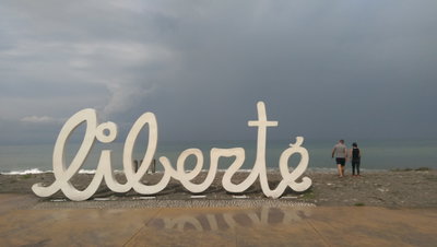
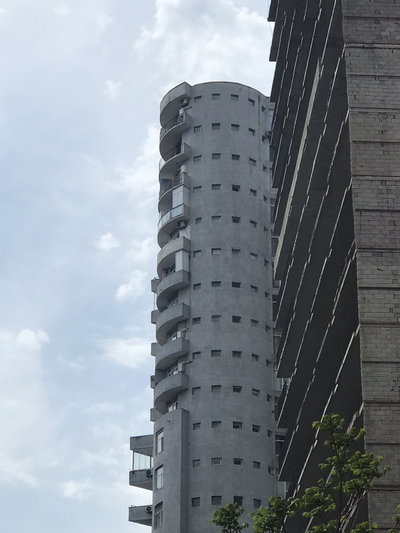
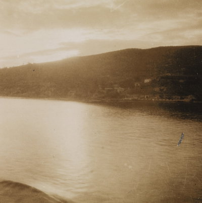
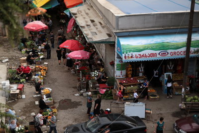
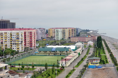
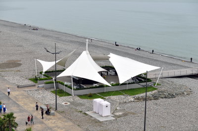
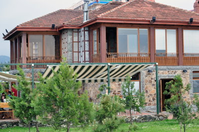
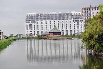
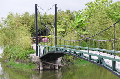
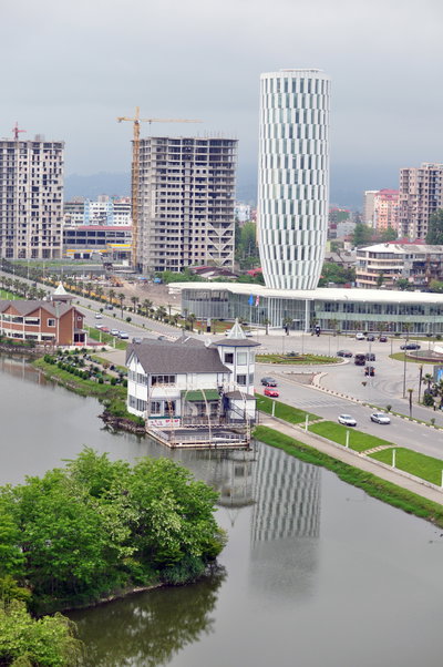
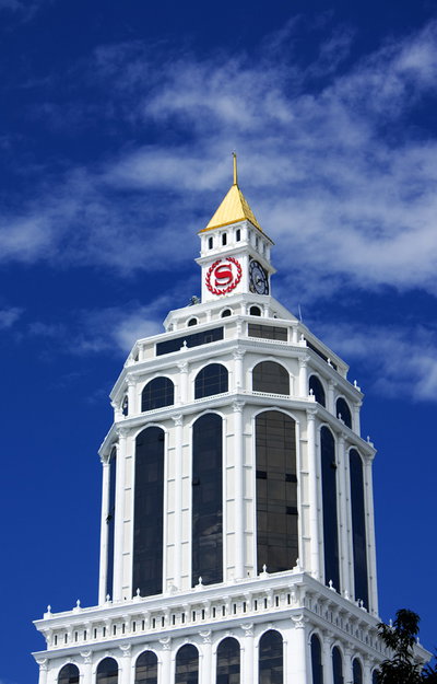
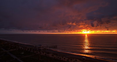
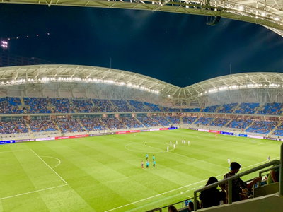
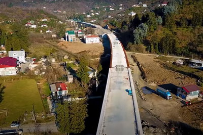
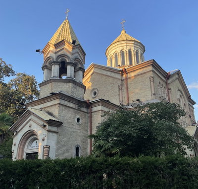
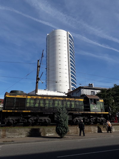
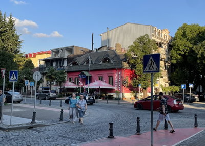
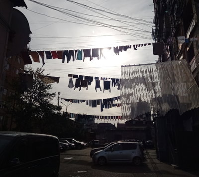
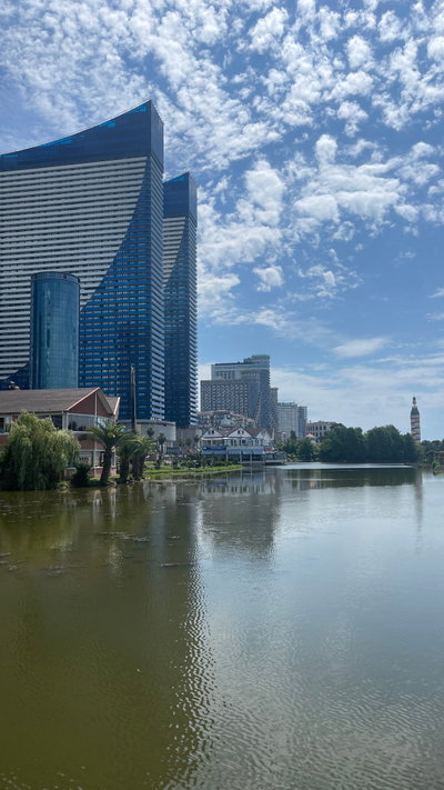
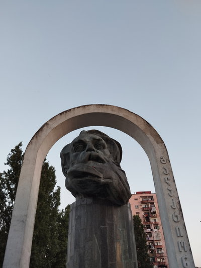
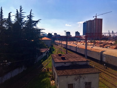
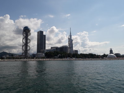
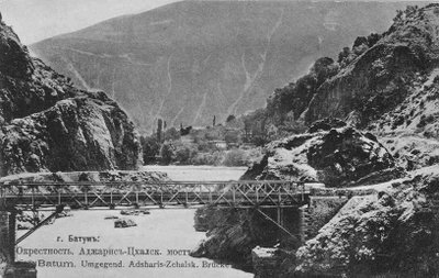
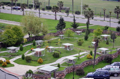
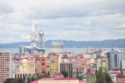
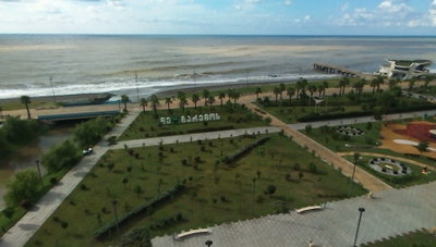
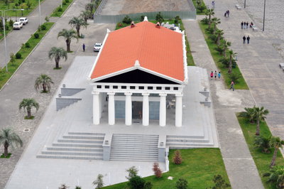
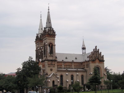
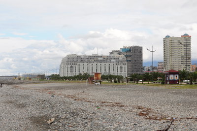
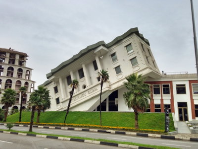
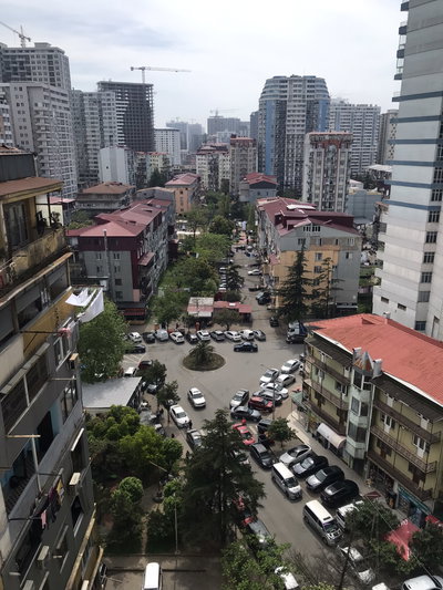
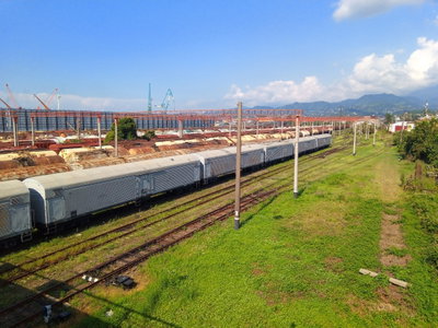
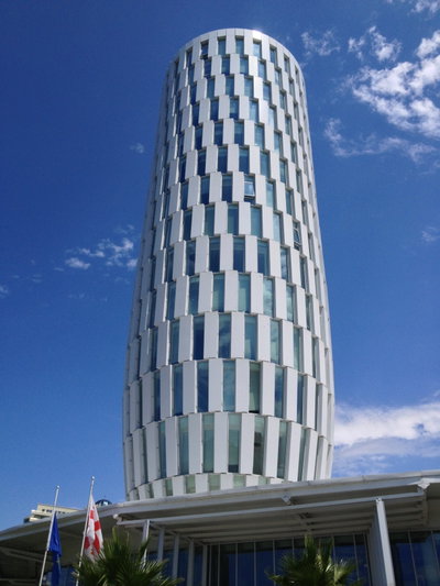
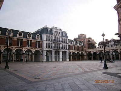
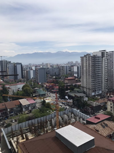
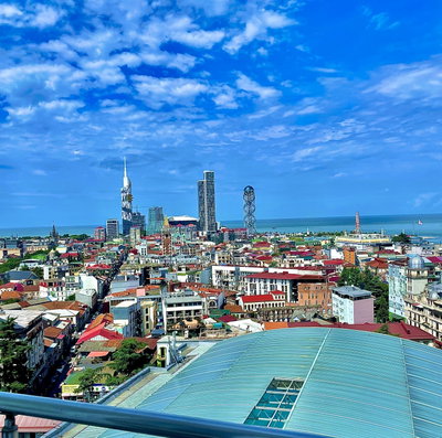
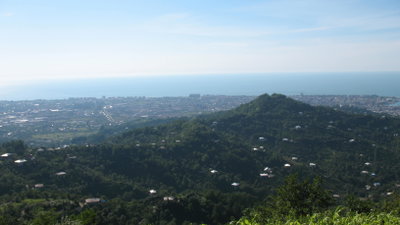
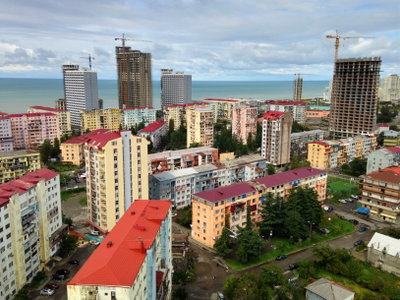
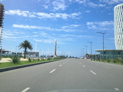
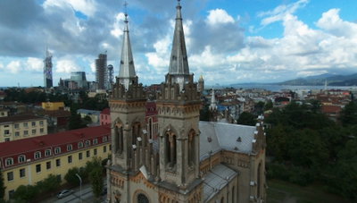
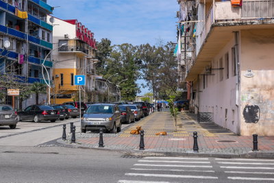
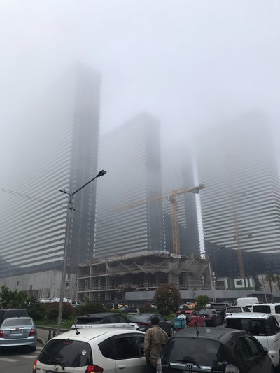
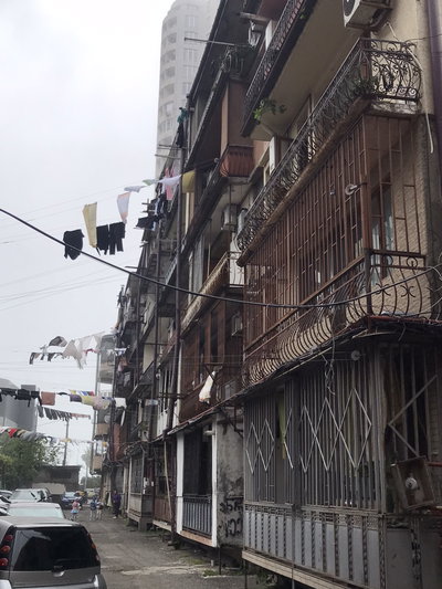
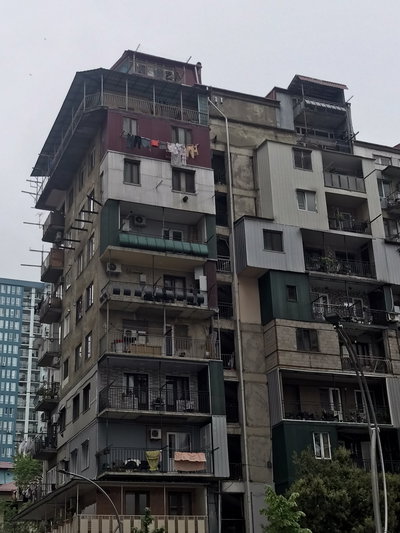
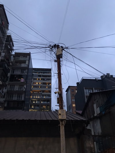
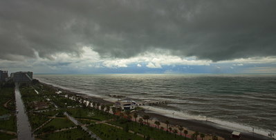
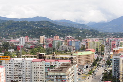
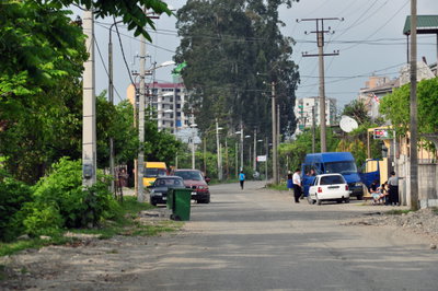
The 220 photographs of Batumi on PlaceWas span 8 decades, from 1885 to 2025. 16 of them were taken before 1980; the other 204 are recent views of the same streets and landmarks.32 spots were photographed more than once, so you can compare the same street, square or building across the years.220 of the photos carry a written caption explaining what is in the frame. Every picture is pinned to the place it was taken, so the map below shows where the photographers stood.
Places in Batumi through time
Spots photographed more than once — compare the same place across the years.

Stories from Batumi
What contributors wrote about these photographs.