Home › Caracas › Paseo Los Proceres

Paseo Los Proceres through time

Caracas 1850–2013 16 photos of this spot

16 photographs taken at the same spot in Caracas, spanning 1850–2013 — 12 of them from before 1980. Line them up and watch the place change.

A street scene in Caracas is preserved in this image dated to 1850, one of the earliest surviving photographic records of the Venezuelan capital, showing its low colonial-era buildings decades before the city's modern expansion.

See this spot on the map
Have an old photo of Paseo Los Proceres? A family album, a postcard, a print from the attic. Pin it to the map and it becomes part of the record.
Add your photo
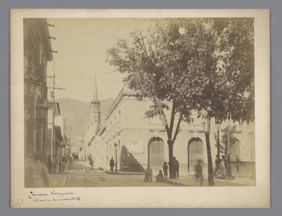
EU: Straatgezicht in Caracas (1850), Caracas, 1850
EU: Straatgezicht in Caracas (1850) 1850 A street scene in Caracas is preserved in this image dated to 1850, one of the earliest surviving photographic records of the Venezuelan capital, showing its low colonial-era buildings decades before the city's modern expansion.
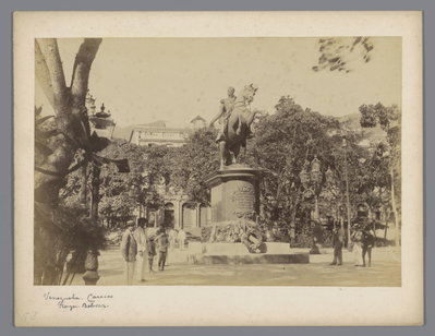
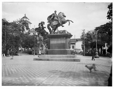
EU: Plaza Bolivar met een standbeeld van Simon Bolivar in Caracas (1850), Caracas, 1850
EU: Plaza Bolivar met een standbeeld van Simon Bolivar in Caracas (1850) 1850 Plaza Bolivar in Caracas, with its statue of Simon Bolivar, appears in this image from 1850, offering an early view of the square that remains the ceremonial center of the Venezuelan capital.
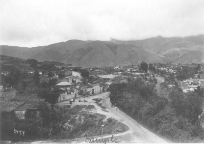
EU: Caracas, Venezuela: View over the city from a hill (1913), Caracas, 1913
EU: Caracas, Venezuela: View over the city from a hill (1913) 1913 A 1913 photograph looking out over Caracas, Venezuela, from an elevated vantage point on a surrounding hillside, taking in the spread of the city below in the valley of the Guaire River.
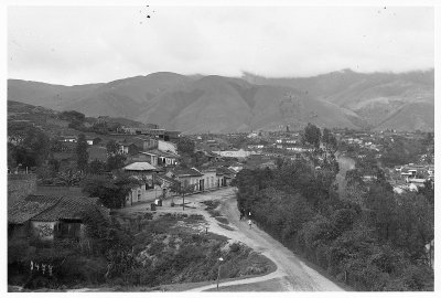
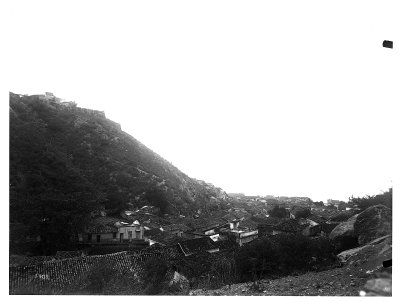
EU: Caracas, Veneuela: Blick über Stadtviertel mit ländlichen Behausungen (1913), Caracas, 1913
EU: Caracas, Veneuela: Blick über Stadtviertel mit ländlichen Behausungen (1913) 1913 Rooftops and modest rural-style dwellings in a Caracas neighborhood, captured in 1913, when the Venezuelan capital's outer districts still retained a village-like character before the city's later expansion.
EU: Caracas (Venezuela). neighborhood view (1915), Caracas, 1915
EU: Caracas (Venezuela). neighborhood view (1915) 1915 A residential neighborhood in Caracas, Venezuela's capital, is shown in this 1915 photograph, offering a glimpse of the city's streets in the years before its major twentieth-century expansion.
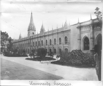
EU: Caracas (Venezuela). Universitätsgebäude (1915), Caracas, 1915
EU: Caracas (Venezuela). Universitätsgebäude (1915) 1915 The university building of Caracas is pictured in 1915, when the institution that would later become the Universidad Central de Venezuela still occupied its historic downtown premises.
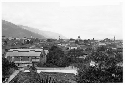
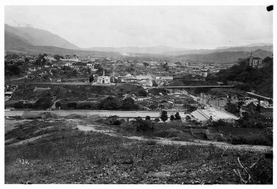
EU: Caracas. Blick über die Stadt und das Caracas-Tal (1915), Caracas, 1915
EU: Caracas. Blick über die Stadt und das Caracas-Tal (1915) 1915 This 1915 photograph looks out over Caracas and the surrounding valley, framed by the Avila mountain range that separates Venezuela's capital from the Caribbean coast.
EU: Caracas (Venezuela). View over the city (1915), Caracas, 1915
EU: Caracas (Venezuela). View over the city (1915) 1915 Rooftops and streets spread across the valley floor in this 1915 view of Caracas, capturing the scale of the Venezuelan capital in the early twentieth century.
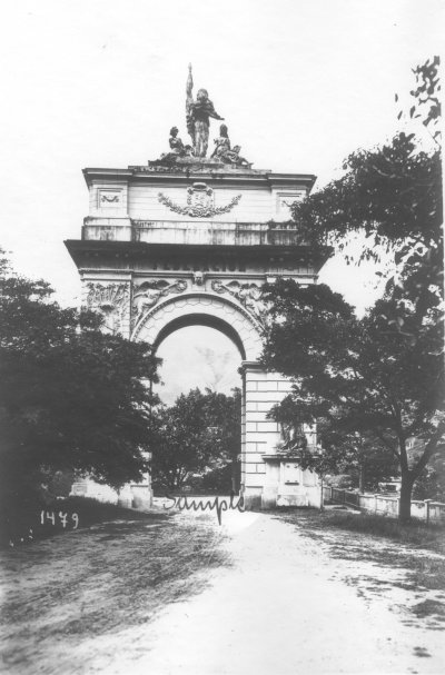
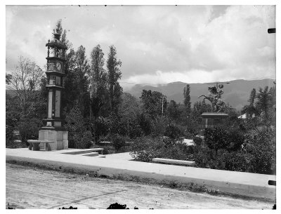
EU: Bei Caracas (Venezuela). Föderationsmonument (1915), Caracas, 1915
EU: Bei Caracas (Venezuela). Föderationsmonument (1915) 1915 Near Caracas, the Federation Monument commemorating Venezuela's Federal War of 1859-1863 is pictured in this 1915 photograph, standing as a landmark on the approach to the Venezuelan capital.
EU: Caracas (Venezuela). Altstadt. Bolivar-Platz (Plaza Bolívar de Caracas) (1915), Caracas, 1915
EU: Caracas (Venezuela). Altstadt. Bolivar-Platz (Plaza Bolívar de Caracas) (1915) 1915 Plaza Bolivar, the historic heart of Caracas's old town, is shown in this 1915 photograph with its central equestrian statue of Simon Bolivar, surrounded by the colonial-era buildings of the Venezuelan capital.
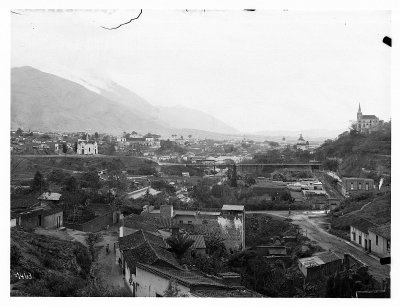
EU: Caracas (Venezuela). View over the city onto a mountain range (1915), Caracas, 1915
EU: Caracas (Venezuela). View over the city onto a mountain range (1915) 1915 Caracas is seen here in 1915 stretching toward a mountain range on its outskirts, a view that captures the city's setting within Venezuela's central highlands.
EU: Caracas, Venezuela. Plaza José Antonio Páez (1915), Caracas, 1915
EU: Caracas, Venezuela. Plaza José Antonio Páez (1915) 1915 Plaza Jose Antonio Paez, named for the Venezuelan independence leader and the country's first president, is pictured in Caracas in this 1915 photograph, one of several public squares recorded in the capital that year.
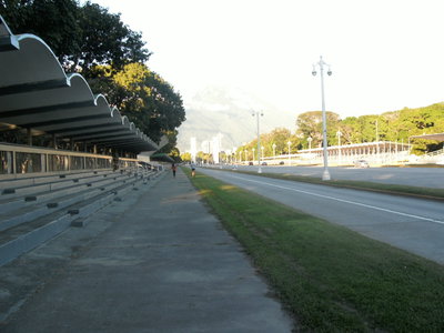
Paseo Los Proceres, Caracas, 2000
Paseo Los Proceres 2000 Paseo Los Próceres in Caracas, a monumental promenade lined with statues and gardens honoring the heroes of Venezuelan independence, photographed in 2000.
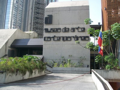
Museo arte contemp Caracas, Caracas, 2010
Museo arte contemp Caracas 2010 The Museum of Contemporary Art in Caracas, Venezuela, one of Latin America's noted art institutions, photographed in 2010.
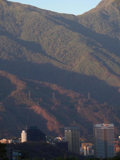
El Avila y Plaza Venezuela, Caracas, 2013
El Avila y Plaza Venezuela 2013 Plaza Venezuela, one of Caracas's best-known traffic circles, sits at the foot of the Ávila mountain range (Parque Nacional Waraira Repano), whose forested slopes separate the capital from the Caribbean coast. This 2013 view captures the plaza with the mountain rising behind it.
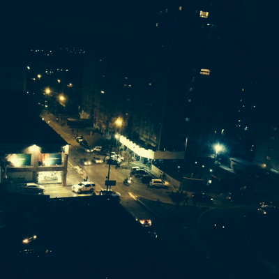
Santa Monica, Caracas, Caracas, 2013
Santa Monica, Caracas 2013 Santa Mónica is a residential neighborhood in Caracas near the Universidad Central de Venezuela, in the city's Libertador municipality. This 2013 photograph shows a street scene from the district.