Home › Cities › Daugavpils

Old photos of Daugavpils

27 photographs of Daugavpils, from 1900 to 2018 — each pinned to the exact place it was taken.

Have an old photo of Daugavpils? A family album, a postcard, a print from the attic. Pin it to the map and it becomes part of the record.
Add your photo

What the photos show

The 27 photographs of Daugavpils on PlaceWas span 8 decades, from 1900 to 2018. 18 of them were taken before 1980; the other 9 are recent views of the same streets and landmarks.4 spots were photographed more than once, so you can compare the same street, square or building across the years.27 of the photos carry a written caption explaining what is in the frame. Every picture is pinned to the place it was taken, so the map below shows where the photographers stood.

Pick a decade to filter the photos below and the map above. Open full map ↗

Places in Daugavpils through time

Spots photographed more than once — compare the same place across the years.
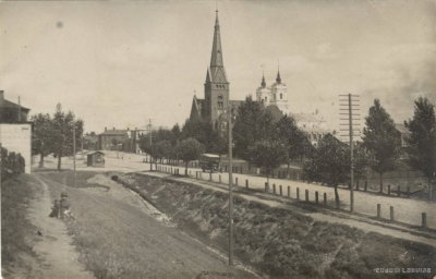
EU: Daugavpils (1900), Daugavpils — photos through time
EU: Daugavpils (1900) 15 photos · 1900–2006
EU: Vienības tilts. Daugavpils (1938) [3212], Daugavpils — photos through time
EU: Vienības tilts. Daugavpils (1938) [3212] 4 photos · 1938
Борисоглебский собор, Daugavpils — photos through time
Борисоглебский собор 2 photos · 2009–2013
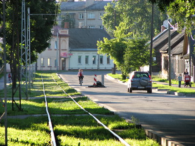
Miera iela (Daugavpils), Daugavpils — photos through time
Miera iela (Daugavpils) 2 photos · 2006–2010

Stories from Daugavpils

What contributors wrote about these photographs.
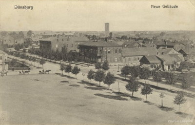
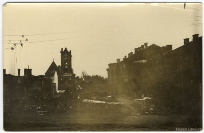
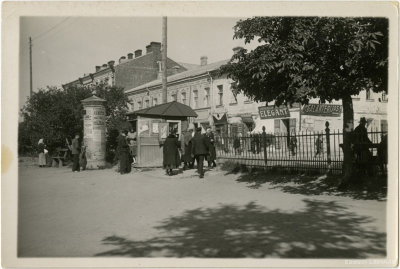
EU: Daugavpils (1900), Daugavpils, 1900
EU: Daugavpils (1900) 1900 Daugavpils, photographed here in 1900, was then known as Dvinsk, a garrison and railway town within the Vitebsk Governorate of the Russian Empire. The city's position on the Daugava River made it an important commercial…
EU: Daugavpils. Jaunbūve (1934), Daugavpils, 1934
EU: Daugavpils. Jaunbūve (1934) 1934 This 1934 photograph shows the Jaunbūve district of Daugavpils, a city in eastern Latvia situated on the Daugava River, whose name translates as 'new building,' reflecting its development as part of the growing city.
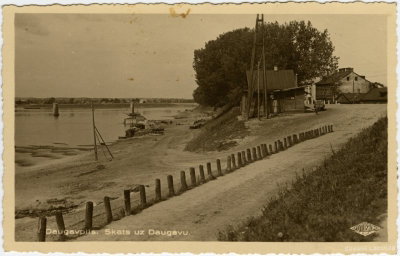
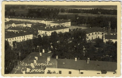
EU: Daugavpils. Daugava (1934), Daugavpils, 1934
EU: Daugavpils. Daugava (1934) 1934 The Daugava River as it flows through Daugavpils, a city in Latvia's Latgale region, is pictured in this 1934 photograph. The river has long shaped the city's layout and its role as a transport and trade point.
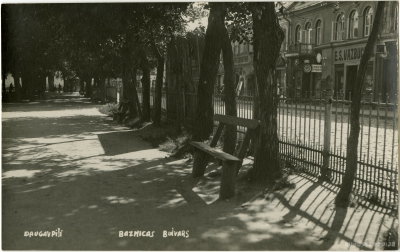
EU: Baznīcas laukums. Daugavpils (1935), Daugavpils, 1935
EU: Baznīcas laukums. Daugavpils (1935) 1935 Church Square (Baznīcas laukums) in Daugavpils appears in this 1935 photograph, historically a central gathering point in the Latvian city and, as its name suggests, a site associated with the city's churches.
EU: Daugavpils. Otrā pasaules kara postījumi (1941), Daugavpils, 1941
EU: Daugavpils. Otrā pasaules kara postījumi (1941) 1941 This 1941 photograph documents damage in Daugavpils inflicted during the Second World War, as fighting reached the Latvian city following the German invasion of the Soviet Union that summer, which caused widespread…
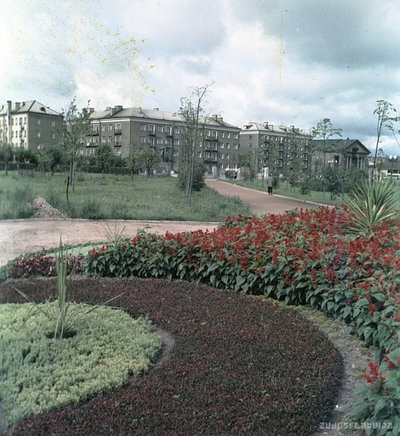
EU: Daugavpils (1961), Daugavpils, 1961
EU: Daugavpils (1961) 1961 Daugavpils, Latvia's second-largest city, pictured in 1961. Built along the Daugava River in the southeastern Latgale region, the city developed into a major regional industrial and rail hub during the Soviet period…
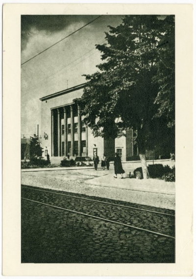
EU: Daugavpils teātris (1963), Daugavpils, 1963
EU: Daugavpils teātris (1963) 1963 The municipal theatre in Daugavpils, Latvia, photographed in 1963. Sitting in the Latgale region along the Daugava River, Daugavpils has long been one of Latvia's main cultural and industrial centers outside the capital…
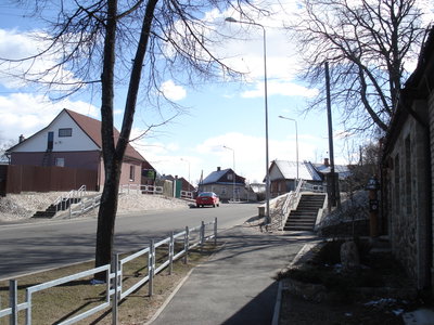
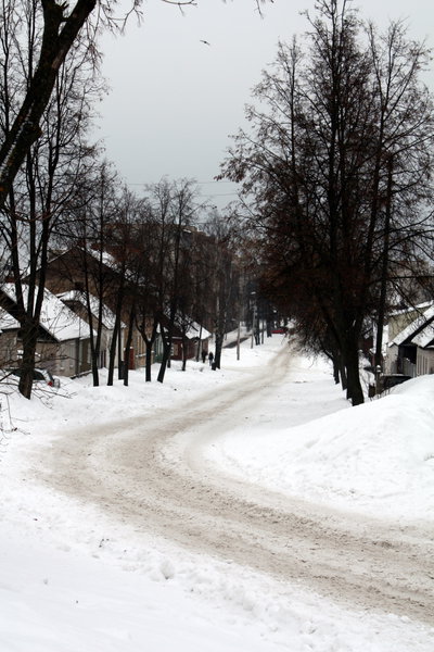
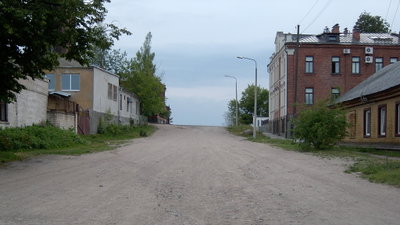
Daugavpils, Andreja Pumpura iela, Daugavpils, 2012
Daugavpils, Andreja Pumpura iela 2012 Andreja Pumpura Street runs through Daugavpils, Latvia's second-largest city, seen here in a 2012 photograph. The city lies on the Daugava River in the historical region of Latgale, near the borders with Belarus and…
1900s · 1 photo
1910s · 1 photo
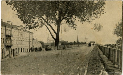
1920s · 2 photos
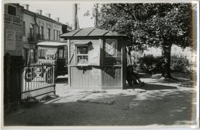
1930s · 11 photos
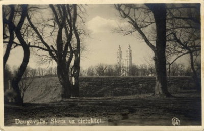
1940s · 1 photo
1960s · 2 photos
2000s · 3 photos
2010s · 6 photos