Home › Dubrovnik › Karaka Dubrovnik

Karaka Dubrovnik through time

Dubrovnik 2011–2024 5 photos of this spot

5 recent photographs taken at the same spot in Dubrovnik, spanning 2011–2024. Have an older picture of it? Add it and start this spot's timeline.

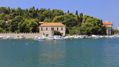
A 2011 view of Dubrovnik's harbor within the old town walls. Small boats and ferries connecting to nearby islands have long used this sheltered stretch of the Adriatic coastline.

See this spot on the map
Have an old photo of Karaka Dubrovnik? A family album, a postcard, a print from the attic. Pin it to the map and it becomes part of the record.
Add your photo
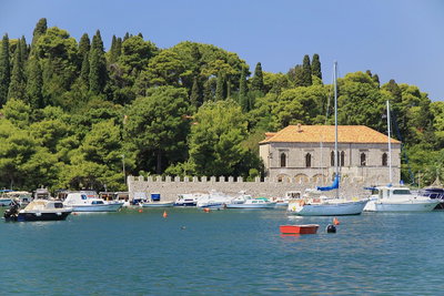
Dubrownik, port, Dubrovnik, 2011
Dubrownik, port 2011 A 2011 view of Dubrovnik's harbor within the old town walls. Small boats and ferries connecting to nearby islands have long used this sheltered stretch of the Adriatic coastline.
Dubrownik, port, Dubrovnik, 2011
Dubrownik, port 2011 A 2011 photograph of Dubrovnik's old port, one of the harbors that have historically served the walled town on Croatia's Dalmatian coast.
Karaka Dubrovnik, Dubrovnik, 2016
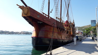
Karaka Dubrovnik 2016 The Karaka, a replica sailing ship moored in Dubrovnik's old harbor, photographed in 2016. It recalls the merchant carracks once built in the city during the era of the Republic of Ragusa.
5 Gruz Park, Dubrovnik, 2017
5 Gruz Park 2017 Photographed on 4 January 2017, this image shows Gruz Park in the Gruz district of Dubrovnik, Croatia, a green space near the city's main harbor, northwest of the walled Old Town along the Adriatic coast.
Nabrzeże przy Luka Gruz w Dubrowniku - kwiecień, Dubrovnik, 2024
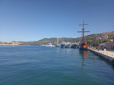
Nabrzeże przy Luka Gruz w Dubrowniku - kwiecień 2024 The waterfront at Gruž Port in Dubrovnik, Croatia, photographed in April 2024. Gruž serves as the city's main harbor for ferries and cruise ships, north of the historic walled old town.