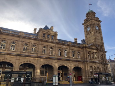
Old photos of Hobart
16 photographs of Hobart, from 1900 to 2018 — each pinned to the exact place it was taken.
Hobart, the capital of Tasmania, stands on the Derwent estuary below Mount Wellington, known to Tasmanian Aboriginal people as kunanyi. The area was Aboriginal country for tens of thousands of years before British settlement. A penal colony was established at Sullivans Cove in 1804, making Hobart the second-oldest capital city in Australia after Sydney. For its first decades it was a convict settlement, and convict labour built many of its early roads, bridges and public buildings.
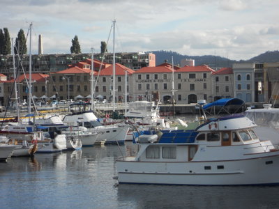
The town grew as a port for whaling and sealing in the Southern Ocean and as an outlet for the colony's wool and timber. Sandstone warehouses were built along the waterfront at Salamanca Place in the 1830s and 1840s, and the older cottages of Battery Point housed sailors and shipwrights. Transportation of convicts to Tasmania ended in 1853, and Hobart became the capital of a self-governing colony, then of a state of the Australian Commonwealth from 1901. In the 20th century it also served as a base for Antarctic expeditions.
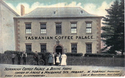
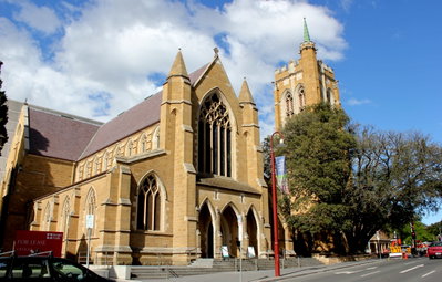
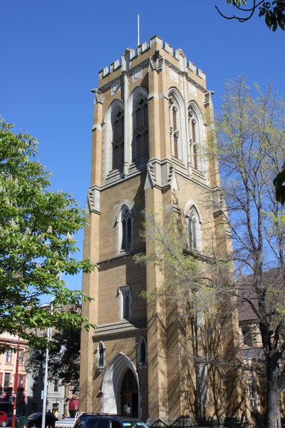
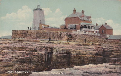
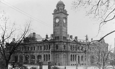
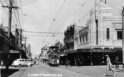
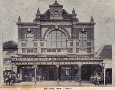
Old photographs of Hobart typically show sailing ships and steamers at the wharves, the Salamanca warehouses, Georgian sandstone buildings, Battery Point cottages and the mountain rising behind the town.
What the photos show
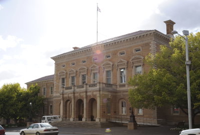
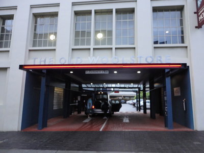
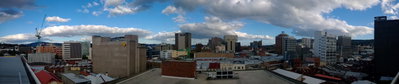
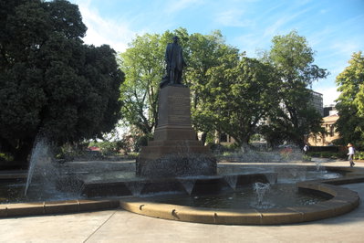
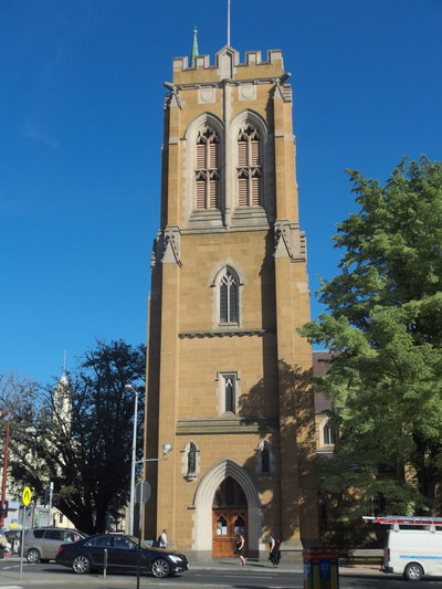
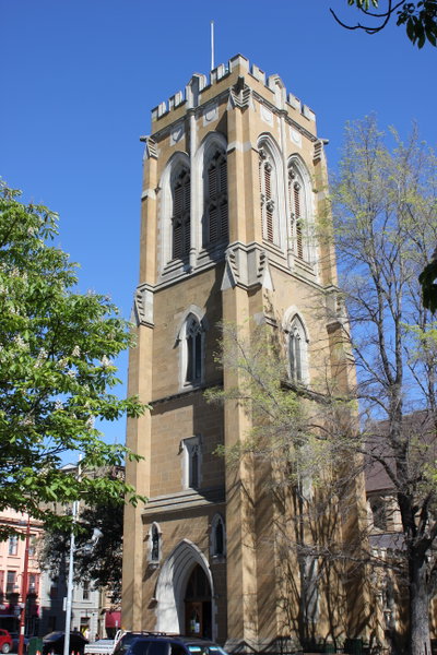
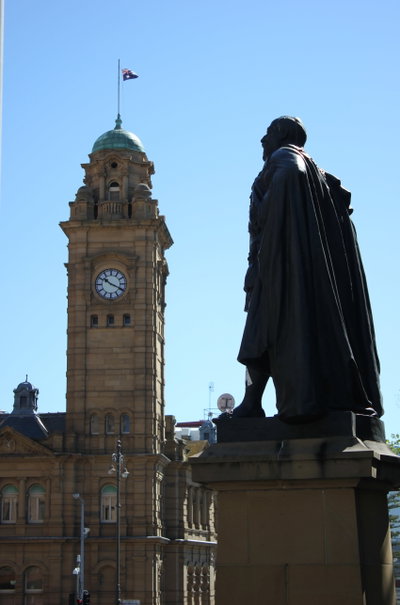
The 16 photographs of Hobart on PlaceWas span 6 decades, from 1900 to 2018. 5 of them were taken before 1980; the other 11 are recent views of the same streets and landmarks.3 spots were photographed more than once, so you can compare the same street, square or building across the years.16 of the photos carry a written caption explaining what is in the frame. Every picture is pinned to the place it was taken, so the map below shows where the photographers stood.
Places in Hobart through time
Spots photographed more than once — compare the same place across the years.
Stories from Hobart
What contributors wrote about these photographs.