
Old photos of Kaolack
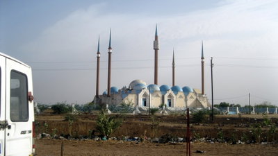
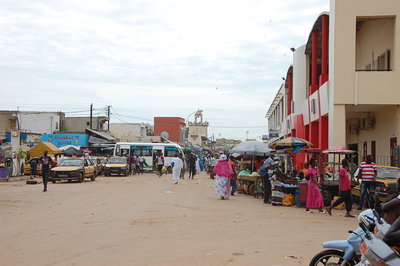
3 photographs of Kaolack, from 1938 to 2018 — each pinned to the exact place it was taken.
Have an old photo of Kaolack?
A family album, a postcard, a print from the attic. Pin it to the map and it becomes part of the record.
Add your photo
What the photos show
The 3 photographs of Kaolack on PlaceWas span 2 decades, from 1938 to 2018. 1 of them were taken before 1980; the other 2 are recent views of the same streets and landmarks.1 spot was photographed more than once, so you can compare the same street, square or building across the years.3 of the photos carry a written caption explaining what is in the frame. Every picture is pinned to the place it was taken, so the map below shows where the photographers stood.
Places in Kaolack through time
Spots photographed more than once — compare the same place across the years.
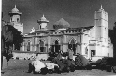
Stories from Kaolack
What contributors wrote about these photographs.
1930s · 1 photo
2010s · 2 photos