Home › La Paz › EU: PMa BOL La Paz (2018)

EU: PMa BOL La Paz (2018) through time

La Paz 1970–2018 3 photos of this spot

3 photographs taken at the same spot in La Paz, spanning 1970–2018 — 1 of them from before 1980. Line them up and watch the place change.

A photograph of La Paz, Bolivia, taken in 1970. Set high in the Andes, La Paz functions as the country's seat of government and one of the highest capitals in the world.

See this spot on the map
Have an old photo of EU: PMa BOL La Paz (2018)? A family album, a postcard, a print from the attic. Pin it to the map and it becomes part of the record.
Add your photo
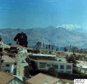
EU: La Paz, fotografi, photograph (1970), La Paz, 1970
EU: La Paz, fotografi, photograph (1970) 1970 A photograph of La Paz, Bolivia, taken in 1970. Set high in the Andes, La Paz functions as the country's seat of government and one of the highest capitals in the world.
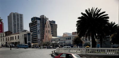
EU: PMa BOL La Paz (2018), La Paz, 2018
EU: PMa BOL La Paz (2018) 2018 La Paz, Bolivia's seat of government, sits in a canyon carved by the Choqueyapu River at an elevation of roughly 3,600 meters, making it one of the highest capital cities in the world. This photograph from 2018 documents a scene from the city.
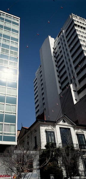
EU: PMa BOL La Paz (2018), La Paz, 2018
EU: PMa BOL La Paz (2018) 2018 Photographed in 2018, this image shows a corner of La Paz, the Bolivian city built across a steep canyon beneath the peaks of the Cordillera Real.