Home › Luxembourg City › Luxemburg, the Rue de la Reine

Luxemburg, the Rue de la Reine through time

Luxembourg City 2002–2015 4 photos of this spot

4 recent photographs taken at the same spot in Luxembourg City, spanning 2002–2015. Have an older picture of it? Add it and start this spot's timeline.

The Rue de la Reine runs through Luxembourg City's old town, a fortified quarter whose steep river gorges and historic ramparts have long defined the Luxembourgish capital; this image dates to 2002.

See this spot on the map
Have an old photo of Luxemburg, the Rue de la Reine? A family album, a postcard, a print from the attic. Pin it to the map and it becomes part of the record.
Add your photo
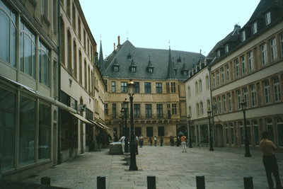
Luxemburg, the Rue de la Reine, Luxembourg City, 2002
Luxemburg, the Rue de la Reine 2002 The Rue de la Reine runs through Luxembourg City's old town, a fortified quarter whose steep river gorges and historic ramparts have long defined the Luxembourgish capital; this image dates to 2002.
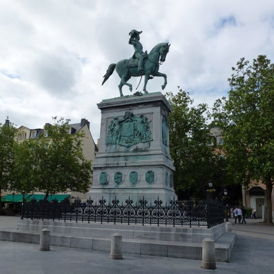
Luxembourg, Luxembourg City, 2012
Luxembourg 2012 A view of Luxembourg City, the capital of the Grand Duchy of Luxembourg and seat of several European Union institutions. Photographed in 2012.
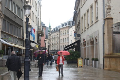
Luxemburg, die Rue du Marché-aux-Herbes, Luxembourg City, 2013
Luxemburg, die Rue du Marché-aux-Herbes 2013 Rue du Marche-aux-Herbes runs through Luxembourg City's historic center, part of the old town that UNESCO has recognized for its fortifications and medieval street pattern.
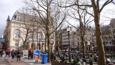
Luxembourg, Luxembourg City, 2015
Luxembourg 2015 A street scene in Luxembourg City, capital of the Grand Duchy of Luxembourg, whose old quarters and fortifications occupy a plateau cut by the Alzette and Pétrusse valleys and were added to the UNESCO World Heritage list in 1994.