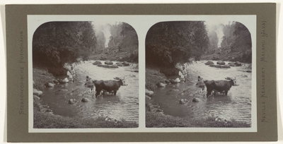
Home › Malang › EU: Waterval bij Malang (1880)

EU: Waterval bij Malang (1880) through time

Malang 1880–1900 10 photos of this spot

10 photographs taken at the same spot in Malang, spanning 1880–1900 — 10 of them from before 1980. Line them up and watch the place change.

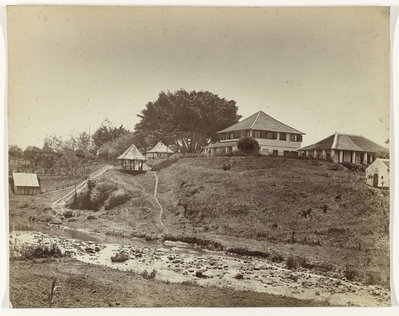
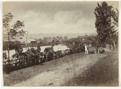
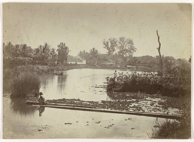
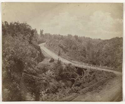
A waterfall near Malang, in the highlands of East Java, photographed in 1880 during the Dutch colonial period.

See this spot on the map
Have an old photo of EU: Waterval bij Malang (1880)? A family album, a postcard, a print from the attic. Pin it to the map and it becomes part of the record.
Add your photo
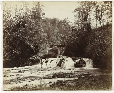
EU: Waterval bij Malang (1880), Malang, 1880
EU: Waterval bij Malang (1880) 1880 A waterfall near Malang, in the highlands of East Java, photographed in 1880 during the Dutch colonial period.
EU: Hospitaal (Militair) / Malang (1880), Malang, 1880
EU: Hospitaal (Militair) / Malang (1880) 1880 The military hospital at Malang, East Java, photographed in 1880. Dutch colonial garrisons in the East Indies typically maintained such hospitals to serve troops stationed in the interior.
EU: Kendal Papah / Malang (1880), Malang, 1880
EU: Kendal Papah / Malang (1880) 1880 A view near Kendal Papah, close to Malang in East Java, photographed in 1880 during the Dutch colonial era.
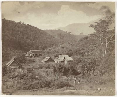
EU: Bij Tanah Wangie / Malang (1880), Malang, 1880
EU: Bij Tanah Wangie / Malang (1880) 1880 The area of Tanah Wangi, near Malang in East Java, photographed in 1880. The Malang region's cool highland climate made it a favored site for colonial-era plantations and settlements.
EU: Bergweg bij Tanah Wangi / Malang (1880), Malang, 1880
EU: Bergweg bij Tanah Wangi / Malang (1880) 1880 A mountain road near Tanah Wangi, close to Malang in East Java, photographed in 1880, part of the routes connecting highland settlements across the region.
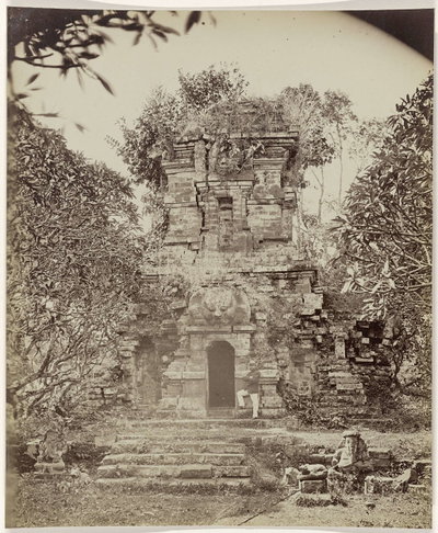
EU: De tempel van Singosari, Malang op Oost Java (1880), Malang, 1880
EU: De tempel van Singosari, Malang op Oost Java (1880) 1880 Candi Singosari, a 13th-century Hindu-Buddhist temple near Malang in East Java, photographed in 1880. The temple honored a ruler of the Singhasari kingdom, a precursor state to the Majapahit empire.
EU: Kawigebergte 8820 vt (Hoogste top Boedah / Telekoong bij Batoe / Koffe land Grens Panawanang / Malang Kedirie) (1880), Malang, 1880
EU: Kawigebergte 8820 vt (Hoogste top Boedah / Telekoong bij Batoe / Koffe land Grens Panawanang / Malang Kedirie) (1880) 1880 The Kawi mountain range near Malang, East Java, photographed in 1880 and noted at an elevation of 8,820 feet. The area's volcanic highlands also supported coffee cultivation during the Dutch colonial period.
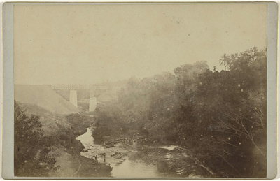
EU: Spoorbrug over de Brantas nabij Malang (1895), Malang, 1895
EU: Spoorbrug over de Brantas nabij Malang (1895) 1895 A railway bridge over the Brantas River near Malang, photographed in 1895 during the expansion of the railway network across colonial Java.
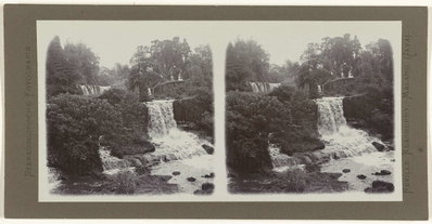
EU: Watervallen in een rivier nabij Malang (1900), Malang, 1900
EU: Watervallen in een rivier nabij Malang (1900) 1900 A river tumbles over falls near Malang, on the island of Java, in this 1900 photograph. The highlands around Malang, cooler than the coastal lowlands, drew Dutch colonists to build plantations and villas nearby, and its rivers and waterfalls were noted features of the district.
EU: Badende mensen en runderen in de Kali Brantas (1900), Malang, 1900
EU: Badende mensen en runderen in de Kali Brantas (1900) 1900 Bathers and cattle share the waters of the Brantas River near Malang, Java, in this 1900 view. The Kali Brantas was a lifeline for washing, bathing and irrigation for communities along its course through East Java, supporting both agriculture and daily household life.