Home › Cities › Matadi

Old photos of Matadi

14 photographs of Matadi, from 1913 to 2025 — each pinned to the exact place it was taken.

Have an old photo of Matadi? A family album, a postcard, a print from the attic. Pin it to the map and it becomes part of the record.
Add your photo

What the photos show

The 14 photographs of Matadi on PlaceWas span 3 decades, from 1913 to 2025. 8 of them were taken before 1980; the other 6 are recent views of the same streets and landmarks.1 spot was photographed more than once, so you can compare the same street, square or building across the years.14 of the photos carry a written caption explaining what is in the frame. Every picture is pinned to the place it was taken, so the map below shows where the photographers stood.

Pick a decade to filter the photos below and the map above. Open full map ↗

Places in Matadi through time

Spots photographed more than once — compare the same place across the years.
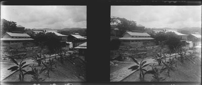
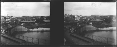
EU: Pont à Matadi, Congo #0208 (1913), Matadi — photos through time
EU: Pont à Matadi, Congo #0208 (1913) 8 photos · 1913

Stories from Matadi

What contributors wrote about these photographs.
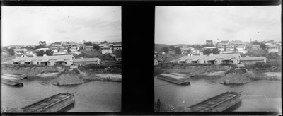
EU: Quai avec contruction à Matadi, Congo #1562 (1913), Matadi, 1913
EU: Quai avec contruction à Matadi, Congo #1562 (1913) 1913 Construction work along the quay at Matadi, then part of the Belgian Congo, photographed in 1913; the Congo River port served as the colony's principal gateway for oceangoing shipping.
EU: Pont à Matadi, Congo #0208 (1913), Matadi, 1913
EU: Pont à Matadi, Congo #0208 (1913) 1913 A bridge at Matadi is shown in this 1913 photograph, part of the infrastructure that supported the town's role as the Congo Free State and later Belgian Congo's principal river port.
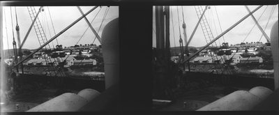
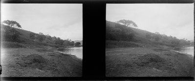
EU: Vue de Matadi à partir d'un bateau, Congo #0207 (1913), Matadi, 1913
EU: Vue de Matadi à partir d'un bateau, Congo #0207 (1913) 1913 Matadi seen from a boat on the Congo River in 1913, offering a waterline view of the hillside port town that marked the head of navigation for oceangoing vessels on the river.
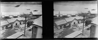
EU: Gare et Port de Matadi, Congo #1565 (1913), Matadi, 1913
EU: Gare et Port de Matadi, Congo #1565 (1913) 1913 The station and port facilities of Matadi are pictured together in this 1913 photograph, showing the transport hub that connected river and rail traffic on the lower Congo.
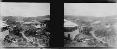
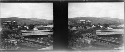
EU: Ville de Matadi, Congo #0211 (1913), Matadi, 1913
EU: Ville de Matadi, Congo #0211 (1913) 1913 This 1913 photograph offers another view of Matadi, the river port town that grew rapidly after becoming the terminus of the railway linking the coast to Leopoldville.
EU: Gare de Matadi, Congo #1571 (1913), Matadi, 1913
EU: Gare de Matadi, Congo #1571 (1913) 1913 The railway station at Matadi is pictured in 1913, marking the starting point of the line built to bypass the Congo River's lower rapids on the route to Leopoldville.
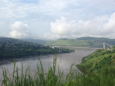
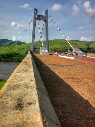
Matadi Bridge DR Congo, Matadi, 2019
Matadi Bridge DR Congo 2019 The Matadi Bridge spans the Congo River near Matadi in the Democratic Republic of the Congo, and at the time of its 1983 completion was one of the longest suspension bridges in Africa.
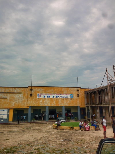
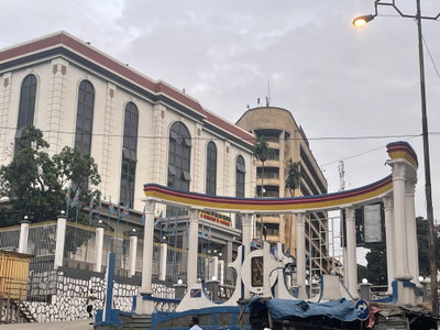
Actuellement l'Institut du Bâtiment et des Travaux Publics - IBTP Matadi, Matadi, 2023
Actuellement l'Institut du Bâtiment et des Travaux Publics - IBTP Matadi 2023 This 2023 image shows the building in Matadi, Democratic Republic of the Congo, now occupied by the Institut du Bâtiment et des Travaux Publics (IBTP), a technical training institute in the country's main Atlantic…
1910s · 8 photos
2010s · 1 photo
2020s · 5 photos