Home › Monaco › Monaco - Rue Saige

Monaco - Rue Saige through time

Monaco 1930–2015 5 photos of this spot

5 photographs taken at the same spot in Monaco, spanning 1930–2015 — 1 of them from before 1980. Line them up and watch the place change.

The Montée du Palais, the roadway leading up to the Prince's Palace in Monaco, photographed in 1930, part of the route ascending to the residence of the ruling Grimaldi family.

See this spot on the map
Have an old photo of Monaco - Rue Saige? A family album, a postcard, a print from the attic. Pin it to the map and it becomes part of the record.
Add your photo
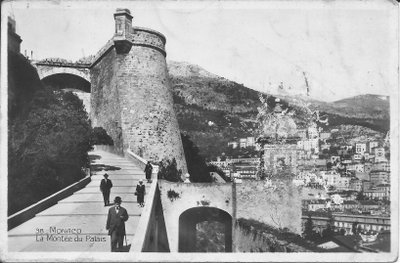
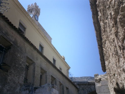
Monaco-La Montée du Palais-38, Monaco, 1930
Monaco-La Montée du Palais-38 1930 The Montée du Palais, the roadway leading up to the Prince's Palace in Monaco, photographed in 1930, part of the route ascending to the residence of the ruling Grimaldi family.
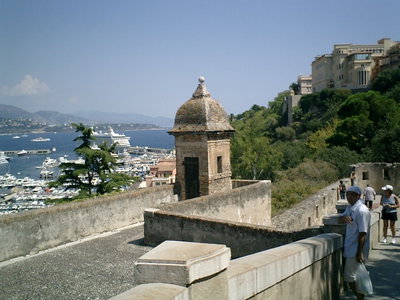
Palais Princier de Monaco, Monaco, 2009
Palais Princier de Monaco 2009 The Prince's Palace of Monaco, official residence of the ruling Grimaldi family atop the Rock of Monaco, is pictured in 2009 overlooking the harbor below. The palace has served as the seat of Monaco's rulers since the late 13th century and remains one of the principality's most visited landmarks.
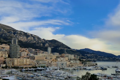
Port Hercule - monaco, Monaco, 2009
Port Hercule - monaco 2009 Port Hercule, Monaco's principal harbor and venue for the annual Grand Prix and yacht show, appears here in a 2009 waterfront view. The port sits at the foot of the Rock of Monaco, between the old town and the district of Monte Carlo.
Bliick auf Monte Carlo vom Felsen, Monaco, 2011
Bliick auf Monte Carlo vom Felsen 2011 This 2011 photograph looks out toward Monte Carlo from Le Rocher, the rocky promontory in Monaco where the old town of Monaco-Ville is built.
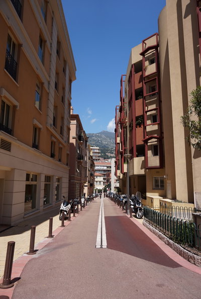
Monaco - Rue Saige, Monaco, 2015
Monaco - Rue Saige 2015 Rue Saige is a street in Monaco, the compact principality on the Mediterranean coast between France and Italy. Photographed in 2015.