Home › Montevideo › Bulevard Artigas

Bulevard Artigas through time

Montevideo 1895–2011 10 photos of this spot

10 photographs taken at the same spot in Montevideo, spanning 1895–2011 — 8 of them from before 1980. Line them up and watch the place change.

The Paso del Molino bridge in Montevideo, photographed in 1895, when the surrounding neighborhood was still a developing area linking the city center to its northern outskirts.

See this spot on the map
Have an old photo of Bulevard Artigas? A family album, a postcard, a print from the attic. Pin it to the map and it becomes part of the record.
Add your photo
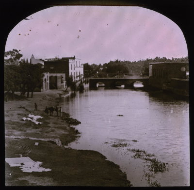
EU: Puente Paso del Molino. Montevideo. (1895), Montevideo, 1895
EU: Puente Paso del Molino. Montevideo. (1895) 1895 The Paso del Molino bridge in Montevideo, photographed in 1895, when the surrounding neighborhood was still a developing area linking the city center to its northern outskirts.
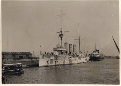
EU: Fylgia i Montevideo (1922), Montevideo, 1922
EU: Fylgia i Montevideo (1922) 1922 The Swedish cruiser Fylgia rides at anchor in the harbor of Montevideo, Uruguay, in this 1922 photograph. Fylgia served as a training ship for the Swedish Navy and made extended cruises to South America in the early 1920s, calling at ports such as Montevideo along the way.
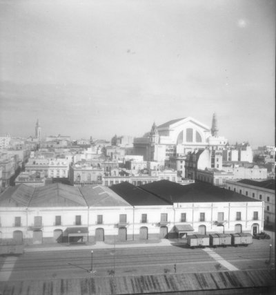
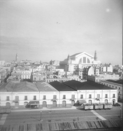
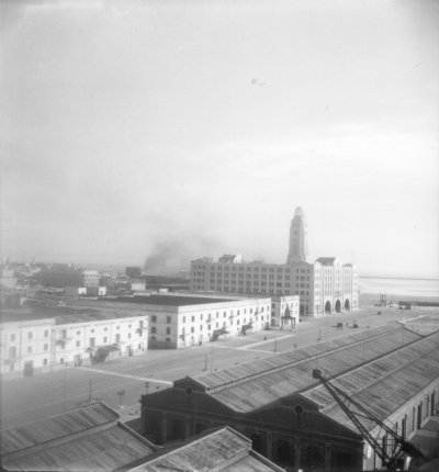
EU: Reisefotos Uruguay. Montevideo. Hafengebäude (1939), Montevideo, 1939
EU: Reisefotos Uruguay. Montevideo. Hafengebäude (1939) 1939 A harbour building along the port of Montevideo, Uruguay, photographed in 1939. Montevideo's harbor on the Río de la Plata was central to the country's export economy in this period.
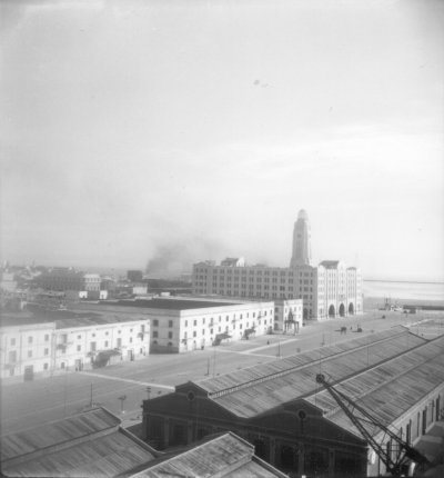
EU: Reisefotos Uruguay. Montevideo. Hafengebäude 2 (1939), Montevideo, 1939
EU: Reisefotos Uruguay. Montevideo. Hafengebäude 2 (1939) 1939 A second view of a harbour building at the port of Montevideo, taken the same year, 1939, showing the waterfront infrastructure that served Uruguay's capital.
EU: Reisefotos Uruguay. Montevideo. Hafengebäude (1939), Montevideo, 1939
EU: Reisefotos Uruguay. Montevideo. Hafengebäude (1939) 1939 Harbor buildings at the port of Montevideo, Uruguay, are pictured in this 1939 travel photograph, reflecting the city's role as a major shipping hub on the Rio de la Plata.
EU: Reisefotos Uruguay. Montevideo. Hafengebäude (1939), Montevideo, 1939
EU: Reisefotos Uruguay. Montevideo. Hafengebäude (1939) 1939 This 1939 view shows another angle of Montevideo's harbor facilities, part of a set of travel photographs documenting the Uruguayan capital's waterfront.
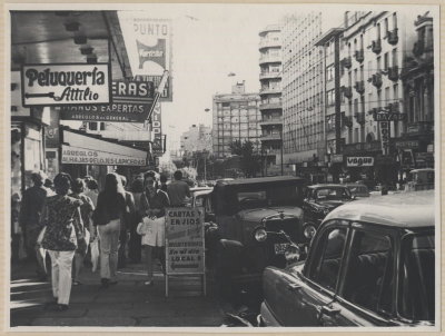
EU: Tänav Montevideos - Street in Montevideo (1973), Montevideo, 1973
EU: Tänav Montevideos - Street in Montevideo (1973) 1973 A street in Montevideo photographed in 1973, capturing the Uruguayan capital during a decade of significant political upheaval in the country.
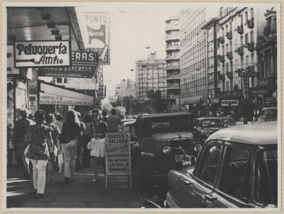
EU: Tänav Montevideos (1973), Montevideo, 1973
EU: Tänav Montevideos (1973) 1973 A street scene in Montevideo captured in 1973, showing the everyday urban fabric of Uruguay's capital during a turbulent decade in the country's history.
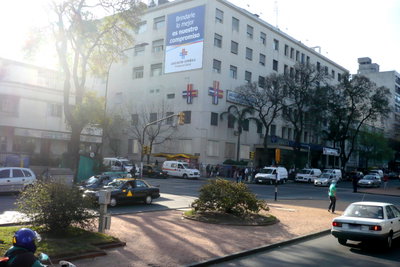
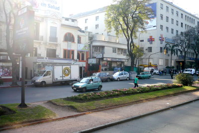
Bulevard Artigas, Montevideo, 2011
Bulevard Artigas 2011 A stretch of Bulevar Artigas in Montevideo, one of the Uruguayan capital's principal avenues, named for independence leader Jose Gervasio Artigas and lined with early 20th-century buildings and monuments.
Bulevard Artigas, Montevideo, 2011
Bulevard Artigas 2011 Another view along Bulevar Artigas in Montevideo, a wide avenue that developed through the early 20th century as one of the city's showcase boulevards.