Home › New York › New York City

New York City through time

New York 1900–2015 5 photos of this spot

5 photographs taken at the same spot in New York, spanning 1900–2015 — 3 of them from before 1980. Line them up and watch the place change.

Manhattan's skyline is viewed from the Brooklyn Bridge in this 1900 photograph, capturing the city as it stood at the turn of the century, less than two decades after the bridge itself had opened to the public in 1883.

See this spot on the map
Have an old photo of New York City? A family album, a postcard, a print from the attic. Pin it to the map and it becomes part of the record.
Add your photo
Manhattan from the Brooklyn Bridge, New York, 1900
Manhattan from the Brooklyn Bridge 1900 Manhattan's skyline is viewed from the Brooklyn Bridge in this 1900 photograph, capturing the city as it stood at the turn of the century, less than two decades after the bridge itself had opened to the public in 1883.
New York City, New York, 1900
New York City 1900 Central Park Bridges (view from Bridlepath looking southwest), Gothic Arch, Spanning bridlepath south of tennis courts, north of reservoir, New York City, New York County, NY
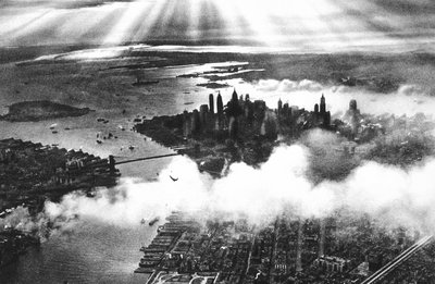
New York skyline, New York, 1932
New York skyline 1932 The skyline of Lower Manhattan , New York , seen from Liberty Island
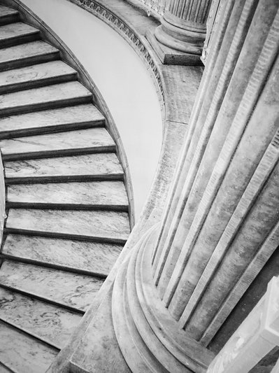
Staircase and Column Study, New York, 2015
Staircase and Column Study 2015 Underneath the rotunda in City Hall.
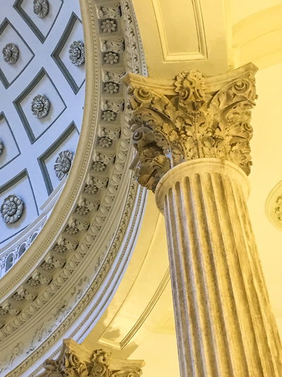
Bitpixdigital cityhall, New York, 2015
Bitpixdigital cityhall 2015 Rotunda and dome interior , with column's Corinthian capital , inside New York City Hall .