Home › Nuwara Eliya › Moons Plane

Moons Plane through time

Nuwara Eliya 2017–2020 4 photos of this spot

4 recent photographs taken at the same spot in Nuwara Eliya, spanning 2017–2020. Have an older picture of it? Add it and start this spot's timeline.

Moon Plains, a highland viewpoint near Nuwara Eliya, Sri Lanka, photographed in 2017. Nuwara Eliya sits in Sri Lanka's central tea-growing hill country, developed as a hill station under British colonial rule.

See this spot on the map
Have an old photo of Moons Plane? A family album, a postcard, a print from the attic. Pin it to the map and it becomes part of the record.
Add your photo
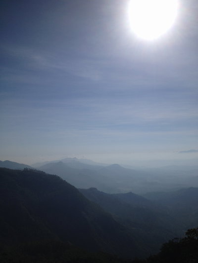
Top of the moon plains, Nuwara Eliya, 2017
Top of the moon plains 2017 Moon Plains, a highland viewpoint near Nuwara Eliya, Sri Lanka, photographed in 2017. Nuwara Eliya sits in Sri Lanka's central tea-growing hill country, developed as a hill station under British colonial rule.
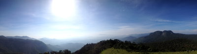
Top of the moon plains - 360 view, Nuwara Eliya, 2017
Top of the moon plains - 360 view 2017 An expanse of grassland known locally as the 'Moon Plains,' in the hill country near Nuwara Eliya, Sri Lanka. Photographed in 2017.
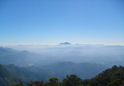
Moon Plains Morning View, Nuwara Eliya, 2020
Moon Plains Morning View 2020 A morning view across Moon Plains near Nuwara Eliya, Sri Lanka, taken in 2020. The area lies within Sri Lanka's central hill country, a region prized since the British colonial era for its cool climate and tea estates.
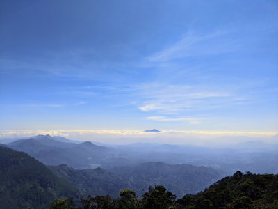
Moons Plane, Nuwara Eliya, 2020
Moons Plane 2020 This photograph looks over Moon Plains, a grassland area near Nuwara Eliya known for its wide views across the surrounding hills and tea estates planted during the British colonial era.