Old photos of Ohrid
66 photographs of Ohrid, from 1913 to 2024 — each pinned to the exact place it was taken.
Ohrid lies on the north-eastern shore of Lake Ohrid in North Macedonia, one of the oldest and deepest lakes in Europe. The ancient town of Lychnidos stood on the same hill and lay on the Roman Via Egnatia between the Adriatic and Thessaloniki. In the early Middle Ages it became a major centre of Slavic Christianity: Clement and Naum, disciples of Cyril and Methodius, taught here in the late 9th century, and Ohrid is traditionally regarded as a cradle of Slavic literacy. Under Tsar Samuel around the year 1000 it was briefly the capital of the Bulgarian empire, and the Archbishopric of Ohrid remained an important church seat for centuries.
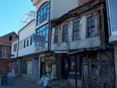
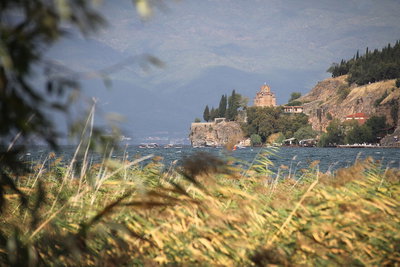
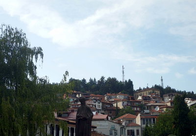
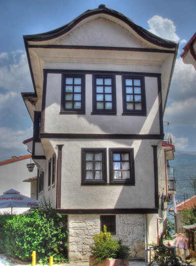
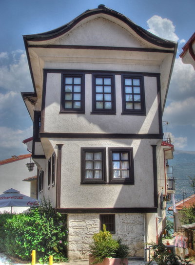
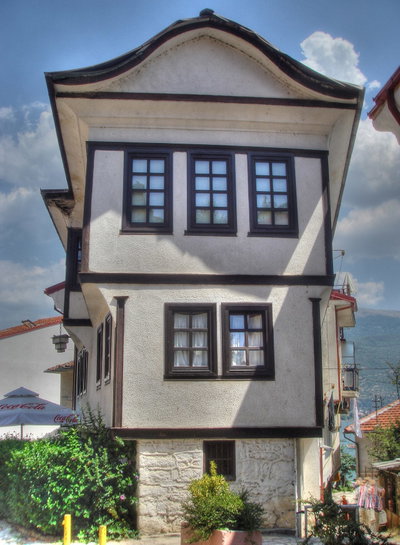
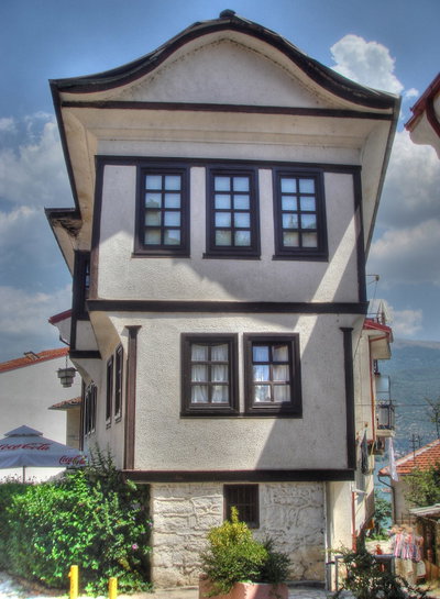
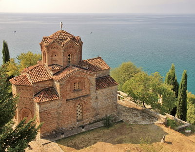
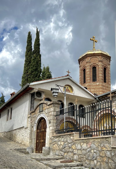
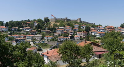
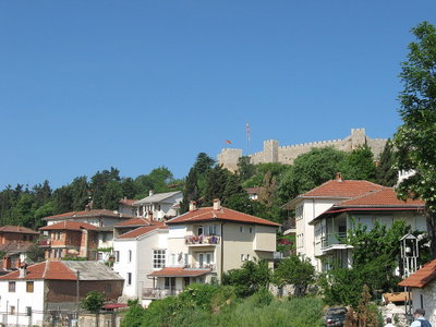
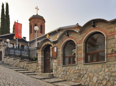
The town passed to the Byzantines, the Serbs and, from the late 14th century, the Ottomans, who held it until 1912. Many of its medieval churches survived, among them St Sophia, St John at Kaneo above the lake, and the church of St Clement with its frescoes. The old town of stone-and-timber houses with overhanging upper floors climbs the slope below Samuel's fortress. Ohrid and its lake were inscribed as a UNESCO World Heritage site in 1979-80.
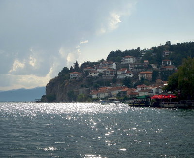
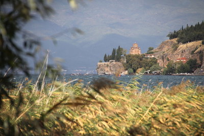
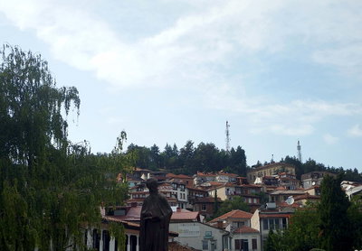
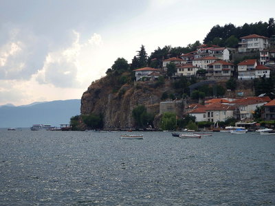
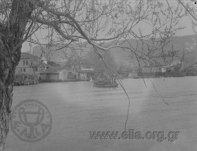
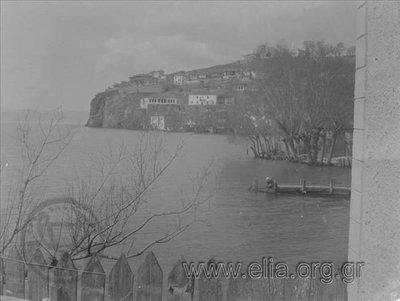
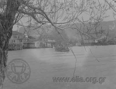
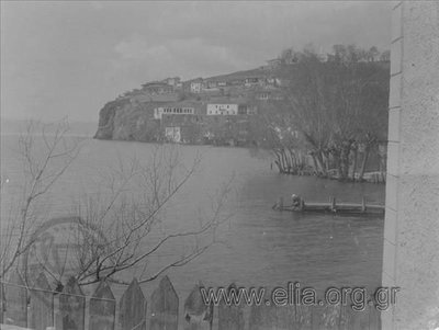
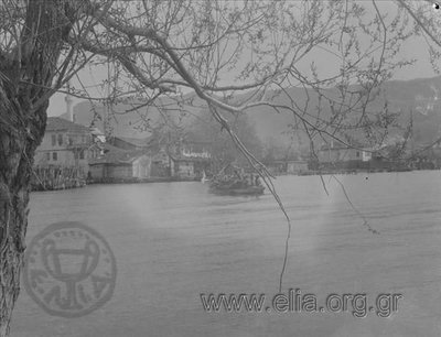
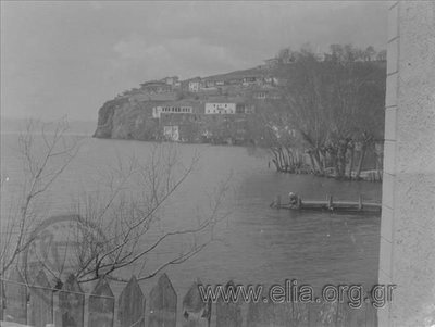
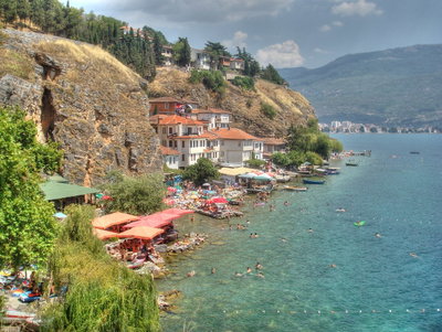
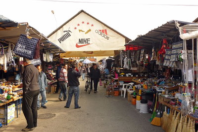
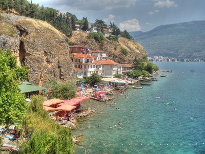
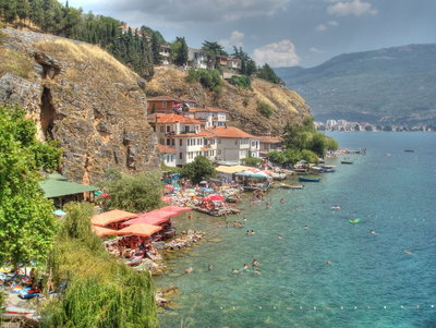
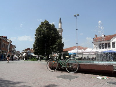
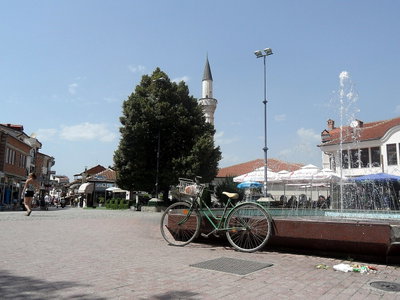
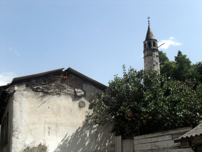
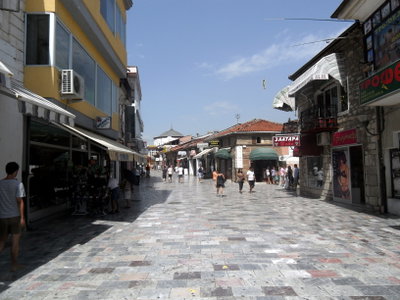
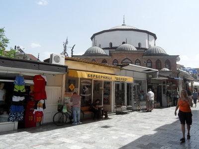
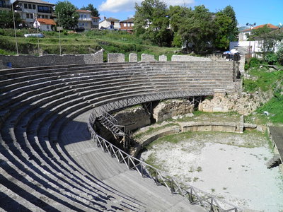
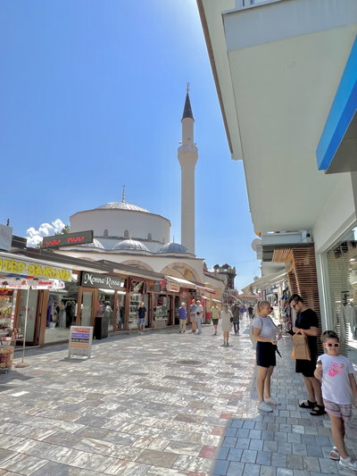
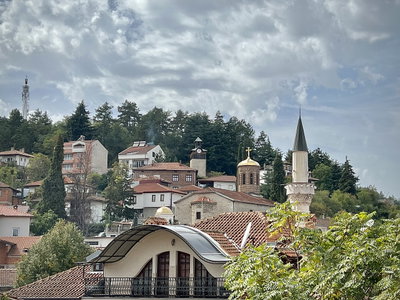
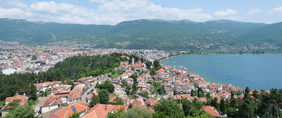
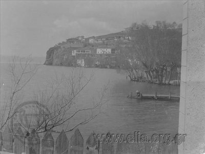
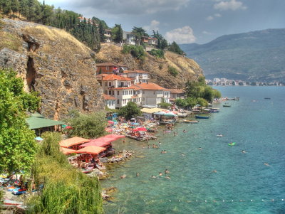
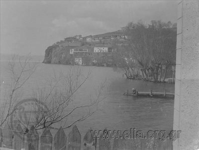
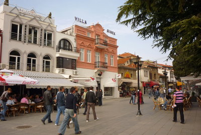
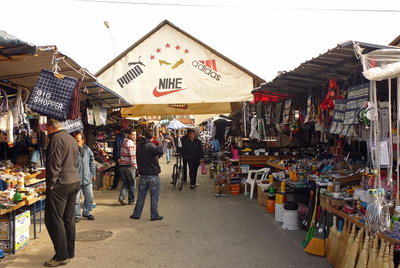
Old photographs of Ohrid typically show the church of St John at Kaneo on its cliff, fishing boats on the lake, the old bazaar and the tiered houses beneath the fortress walls.
What the photos show
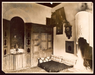
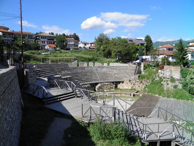
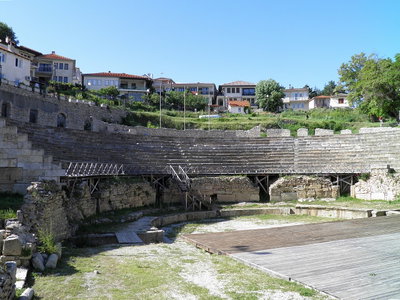
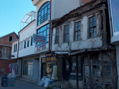
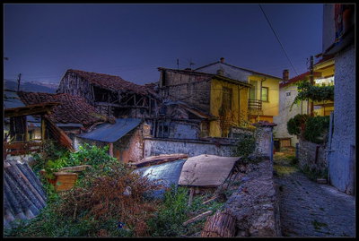
The 66 photographs of Ohrid on PlaceWas span 4 decades, from 1913 to 2024. 9 of them were taken before 1980; the other 57 are recent views of the same streets and landmarks.12 spots were photographed more than once, so you can compare the same street, square or building across the years.66 of the photos carry a written caption explaining what is in the frame. Every picture is pinned to the place it was taken, so the map below shows where the photographers stood.
Places in Ohrid through time
Spots photographed more than once — compare the same place across the years.
Stories from Ohrid
What contributors wrote about these photographs.