Home › Cities › Paramaribo

Old photos of Paramaribo

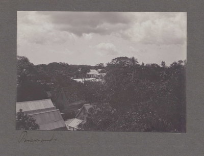
18 photographs of Paramaribo, from 1885 to 1926 — each pinned to the exact place it was taken.

Have an old photo of Paramaribo? A family album, a postcard, a print from the attic. Pin it to the map and it becomes part of the record.
Add your photo

What the photos show

The 18 photographs of Paramaribo on PlaceWas span 4 decades, from 1885 to 1926. 18 of them were taken before 1980; the other 0 are recent views of the same streets and landmarks.1 spot was photographed more than once, so you can compare the same street, square or building across the years.18 of the photos carry a written caption explaining what is in the frame. Every picture is pinned to the place it was taken, so the map below shows where the photographers stood.

Pick a decade to filter the photos below and the map above. Open full map ↗

Places in Paramaribo through time

Spots photographed more than once — compare the same place across the years.
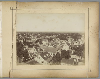
EU: Paramaribo (1912), Paramaribo — photos through time
EU: Paramaribo (1912) 17 photos · 1900–1926

Stories from Paramaribo

What contributors wrote about these photographs.
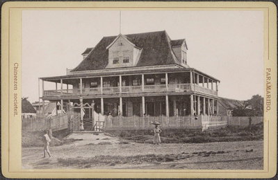
EU: Exterieur van de Chinese Sociëteit in Paramaribo (1910), Paramaribo, 1910
EU: Exterieur van de Chinese Sociëteit in Paramaribo (1910) 1910 This 1910 photograph shows the exterior of the Chinese Society building in Paramaribo, a meeting hall for the city's Chinese community. Chinese immigrants had settled in Suriname from the mid-nineteenth century onward as…
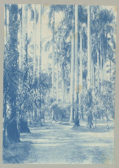
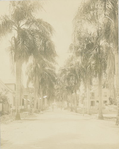
EU: Palmentuin, Paramaribo (1910), Paramaribo, 1910
EU: Palmentuin, Paramaribo (1910) 1910 Palmentuin, the Palm Garden of Paramaribo, appears here in 1910 as a shaded promenade planted with royal palms. It served as a public park for the Surinamese capital during the period when the territory was administered…
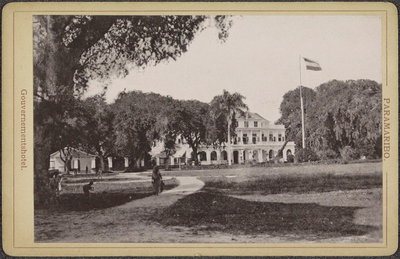
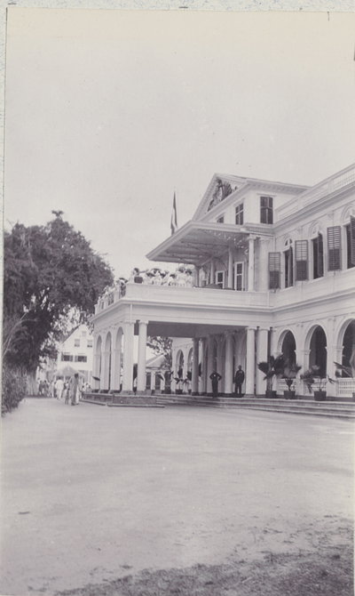
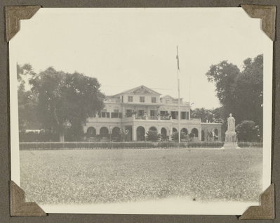
EU: Gouvernementshotel in Paramaribo met park en Nederlandse vlag (1910), Paramaribo, 1910
EU: Gouvernementshotel in Paramaribo met park en Nederlandse vlag (1910) 1910 The Gouvernementshotel, seat of the Dutch colonial governor in Paramaribo, is shown here in 1910 with its surrounding park and a Netherlands flag flying above it. The building served as the administrative center of Dutch…
EU: Heerenstraat, Paramaribo (1910), Paramaribo, 1910
EU: Heerenstraat, Paramaribo (1910) 1910 Heerenstraat was one of Paramaribo's principal streets in the early twentieth century, lined with the timber colonial townhouses typical of Dutch Suriname. This 1910 view records everyday street life in the colony's…
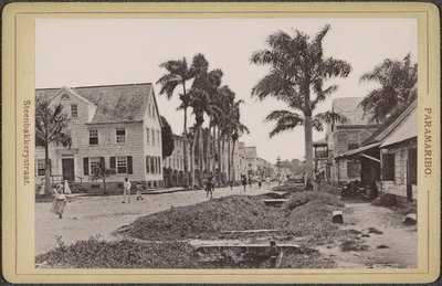
EU: Steenbakkerijstraat in Paramaribo met palmen en voorbijgangers (1910), Paramaribo, 1910
EU: Steenbakkerijstraat in Paramaribo met palmen en voorbijgangers (1910) 1910 Steenbakkerijstraat, lined with palms and pedestrians, is pictured in Paramaribo in 1910. The street's name, referring to a brickworks, hints at the small industries that once operated along it in the Dutch colonial…
EU: Vaillantsplein, Paramaribo (1910), Paramaribo, 1910
EU: Vaillantsplein, Paramaribo (1910) 1910 Vaillantsplein functioned as a civic square in central Paramaribo, captured here in 1910 during Dutch colonial rule of Suriname. Public squares like this one anchored the commercial and social life of the riverside…
EU: Heiligenweg te Paramaribo (1910), Paramaribo, 1910
EU: Heiligenweg te Paramaribo (1910) 1910 Heiligenweg, a street in Paramaribo, was photographed in 1910 while Suriname remained a colony of the Netherlands. Its name, Dutch for 'Saints' Way,' reflects the strong imprint of Dutch colonial culture on the capital.
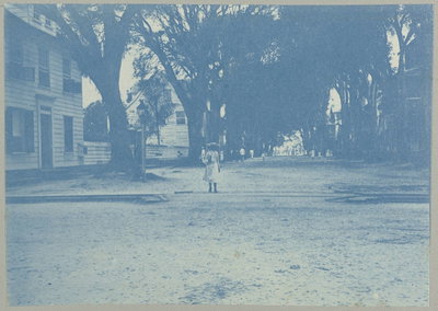
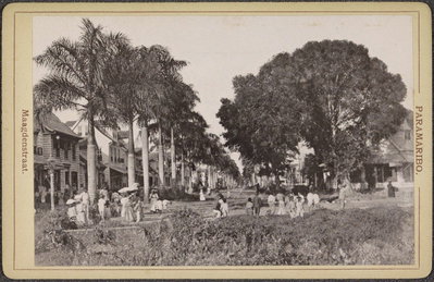
EU: Maagdenstraat in Paramaribo met bomen en voorbijgangers (1910), Paramaribo, 1910
EU: Maagdenstraat in Paramaribo met bomen en voorbijgangers (1910) 1910 Maagdenstraat in Paramaribo, shaded by trees and busy with passersby, was recorded in this 1910 photograph. Streets like this formed the residential fabric of the Surinamese capital under Dutch colonial administration.
1880s · 1 photo
1900s · 4 photos
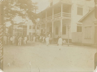
1910s · 12 photos
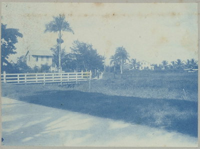
1920s · 1 photo