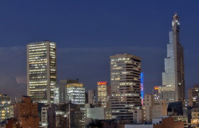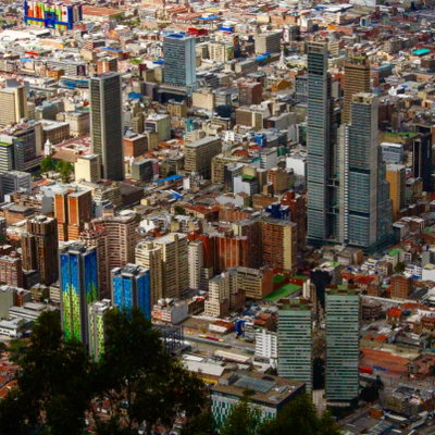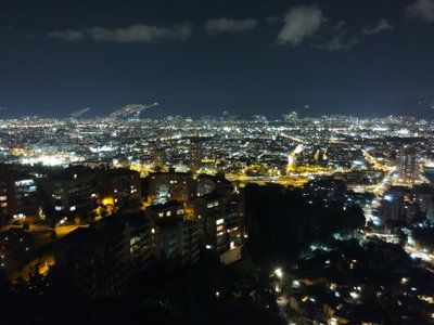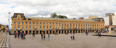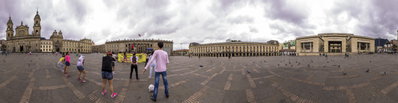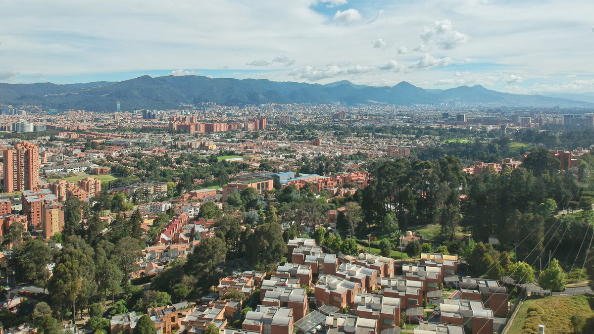
Panorama de Bogotá
2018 Bogotá, Colombia
An aerial panorama of Bogotá, Colombia, taken in 2018, showing the dense urban sprawl of South America's third-largest city set against the eastern hills of the Andes.
See this spot on the map
Have an old photo of Bogotá?
A family album, a postcard, a print from the attic. Pin it to the map and it becomes part of the record.
Add your photo
Norte de Bogotá through time — all 2 photos taken here (2018–2019) →