Home › Quebec City › 1920
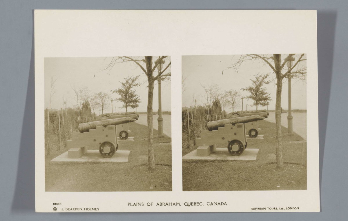
EU: Plains of Abraham, Quebec, Canada (1920), Quebec City, Canada, 1920

EU: Plains of Abraham, Quebec, Canada (1920)

1920 Quebec City, Canada

The Plains of Abraham are pictured in this 1920 photograph of Quebec City. The site was the location of the pivotal 1759 battle between British and French forces during the Seven Years' War, a turning point in the struggle for control of Canada.

See this spot on the map
Have an old photo of Quebec City? A family album, a postcard, a print from the attic. Pin it to the map and it becomes part of the record.
Add your photo

Édifice Price through time — all 99 photos taken here (1855–2024) →
More from Quebec City

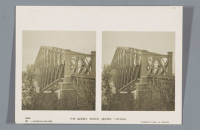
EU: The Quebec Bridge, Quebec, Canada (1920), Quebec City, 1920
EU: The Quebec Bridge, Quebec, Canada (1920) 1920
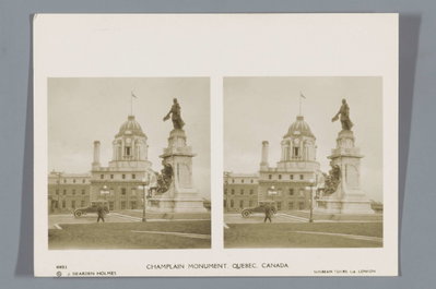
EU: Champlain Monument, Quebec, Canada (1920), Quebec City, 1920
EU: Champlain Monument, Quebec, Canada (1920) 1920
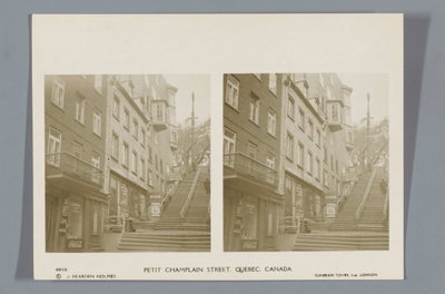
EU: Petit Champlain Street, Quebec, Canada (1920), Quebec City, 1920
EU: Petit Champlain Street, Quebec, Canada (1920) 1920
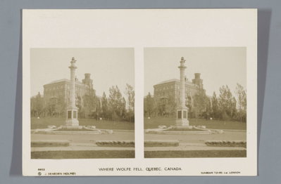
EU: Where Wolfe fell, Quebec, Canada (1920), Quebec City, 1920
EU: Where Wolfe fell, Quebec, Canada (1920) 1920
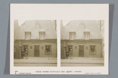
EU: House where Montcalm died, Quebec, Canada (1920), Quebec City, 1920
EU: House where Montcalm died, Quebec, Canada (1920) 1920
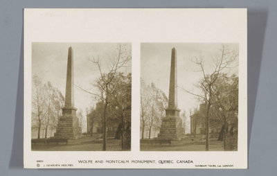
EU: Wolfe and Montcalm Monument, Quebec, Canada (1920), Quebec City, 1920
EU: Wolfe and Montcalm Monument, Quebec, Canada (1920) 1920
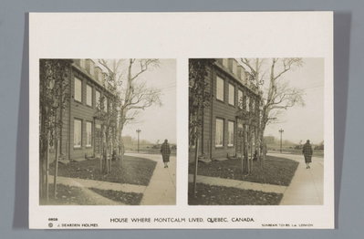
EU: House where Montcalm lived, Quebec, Canada (1920), Quebec City, 1920
EU: House where Montcalm lived, Quebec, Canada (1920) 1920
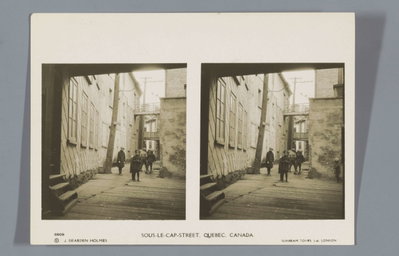
EU: Sous-le-Cap-Street, Quebec, Canada (1920), Quebec City, 1920
EU: Sous-le-Cap-Street, Quebec, Canada (1920) 1920