Home › Charleston › 1863
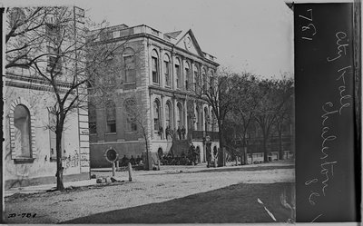
View in Charleston, South Carolina, Charleston, South Carolina, USA, 1863

View in Charleston, South Carolina

1863 Charleston, South Carolina, USA

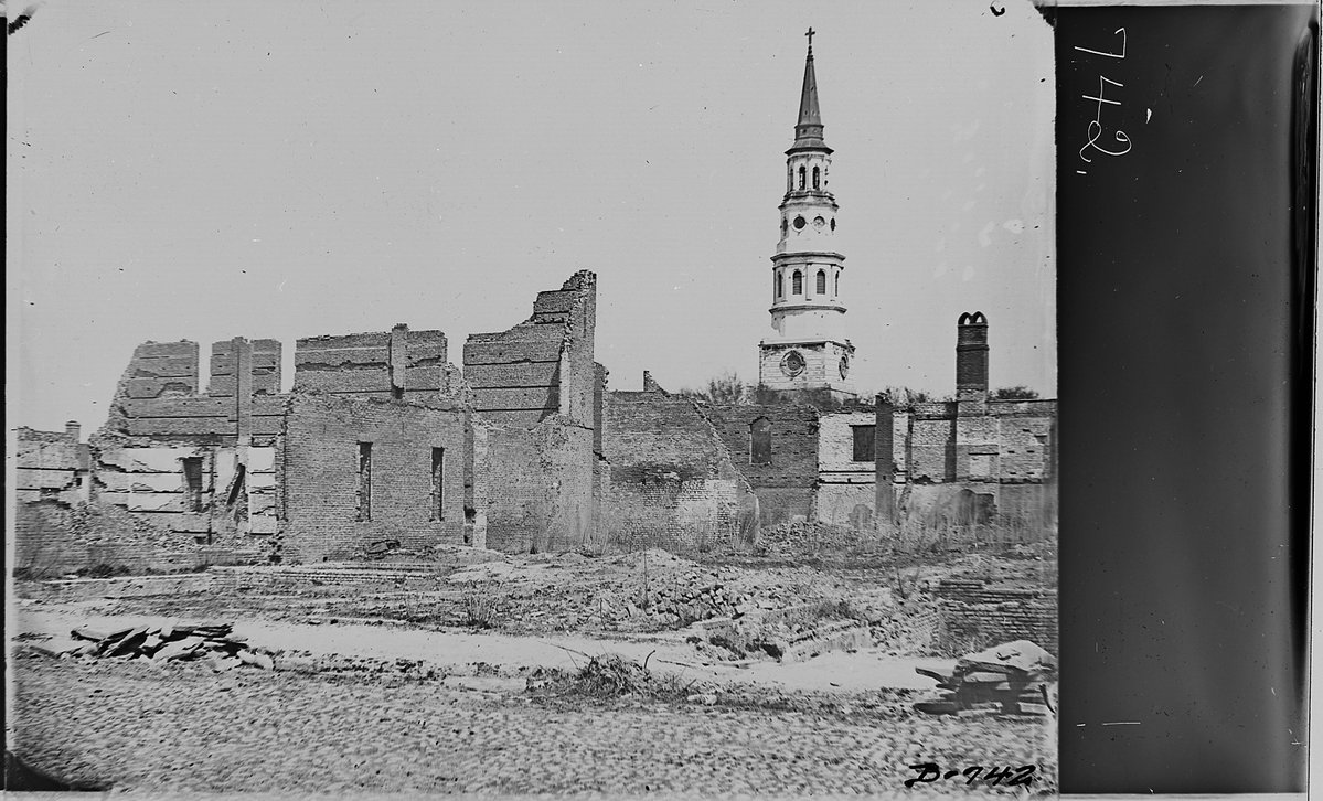
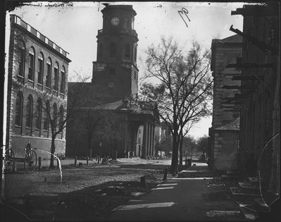
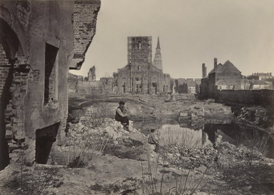
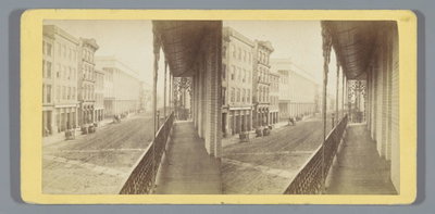
This 1863 photograph documents a street scene in Charleston, South Carolina, captured during the Civil War years when the city endured a prolonged Union blockade and siege as one of the Confederacy's key ports.

See this spot on the map
Have an old photo of Charleston? A family album, a postcard, a print from the attic. Pin it to the map and it becomes part of the record.
Add your photo

Charleston County Courthouse through time — all 72 photos taken here (1863–2023) →
More from Charleston

City Hall, Charleston, South Carolina, Charleston, 1863
City Hall, Charleston, South Carolina 1863
St. Michael's Church, Charleston, S.C, Charleston, 1863
St. Michael's Church, Charleston, S.C 1863
Ruins in Charleston at the end of the Civil War, Charleston, 1865
Ruins in Charleston at the end of the Civil War 1865
EU: The Charleston Hotel, Charleston, S.C. (1865), Charleston, 1865
EU: The Charleston Hotel, Charleston, S.C. (1865) 1865
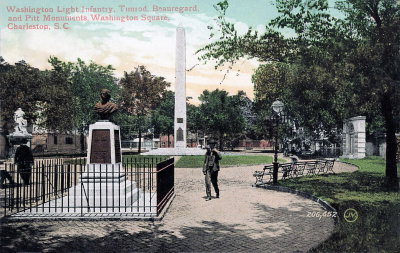
Charleston - Washington Square, Charleston, 1910
Charleston - Washington Square 1910
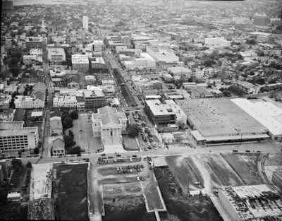
Aerial View, Looking Northwest Along Market Street, Charleston, SC, Charleston, 1995
Aerial View, Looking Northwest Along Market Street, Charleston, SC 1995
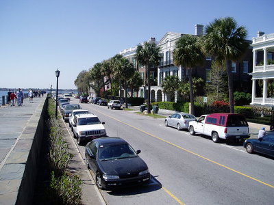
Charleston, South Carolina, Charleston, 2004
Charleston, South Carolina 2004
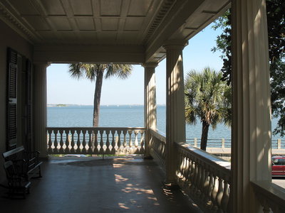
The Battery and Charleston harbor from the second floor piazza of the Edmondston-Alston House, Charleston, SC, Charleston, 2007
The Battery and Charleston harbor from the second floor piazza of the Edmondston-Alston House, Charleston, SC 2007