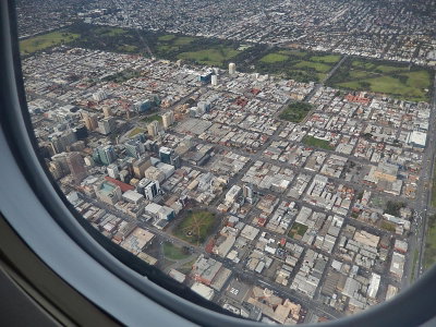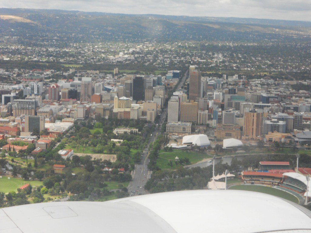
Adelaide from the Air
2010 Adelaide, Australia
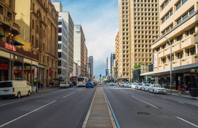
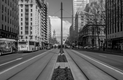
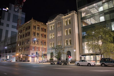
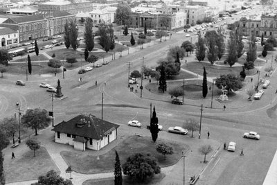
An aerial photograph of Adelaide, South Australia, taken in 2010, showing the city's layout from above. Adelaide was laid out on a grid plan ringed by parkland when it was founded in the 19th century.
See this spot on the map
Have an old photo of Adelaide?
A family album, a postcard, a print from the attic. Pin it to the map and it becomes part of the record.
Add your photo