Home › Valparaíso › 2010
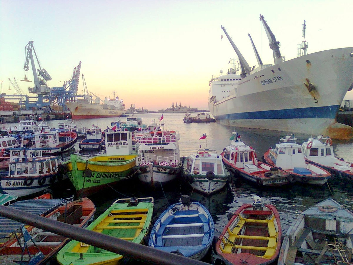
Puerto de Valparaiso, Chile, Valparaíso, Chile, 2010

Puerto de Valparaiso, Chile

2010 Valparaíso, Chile

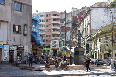
The port of Valparaiso, photographed in 2010, has served as Chile's principal Pacific harbor since the colonial era and remains central to the city's economy and identity.

See this spot on the map
Have an old photo of Valparaíso? A family album, a postcard, a print from the attic. Pin it to the map and it becomes part of the record.
Add your photo

Puerto de Valparaiso, Chile through time — all 2 photos taken here (2010–2011) →
More from Valparaíso

Valparaiso, Valparaíso, 2010
Valparaiso 2010
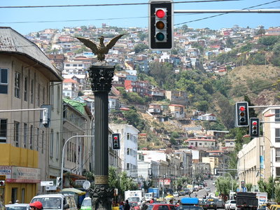
Cerro street view with monument, Valparaíso, Valparaíso, 2010
Cerro street view with monument, Valparaíso 2010
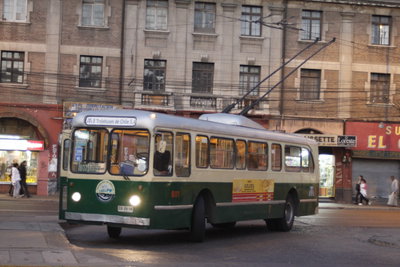
Trolebuses de Valparaíso, Valparaíso, 2010
Trolebuses de Valparaíso 2010
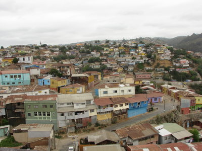
Cerros Valpo 2, Valparaíso, 2010
Cerros Valpo 2 2010
Panorámica del mar desde un 12º piso, Valparaíso, 2010
Panorámica del mar desde un 12º piso 2010
Vista desde la Plaza, Valparaíso, 2010
Vista desde la Plaza 2010
Building, Valparaíso, 2009
Building 2009
Valparaiso, Valparaíso, 2011
Valparaiso 2011