Home › La Paz › 2012
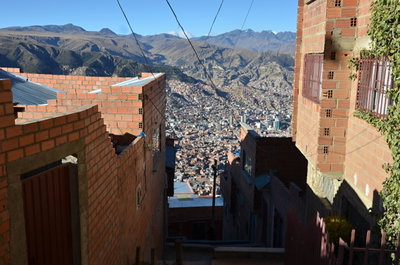
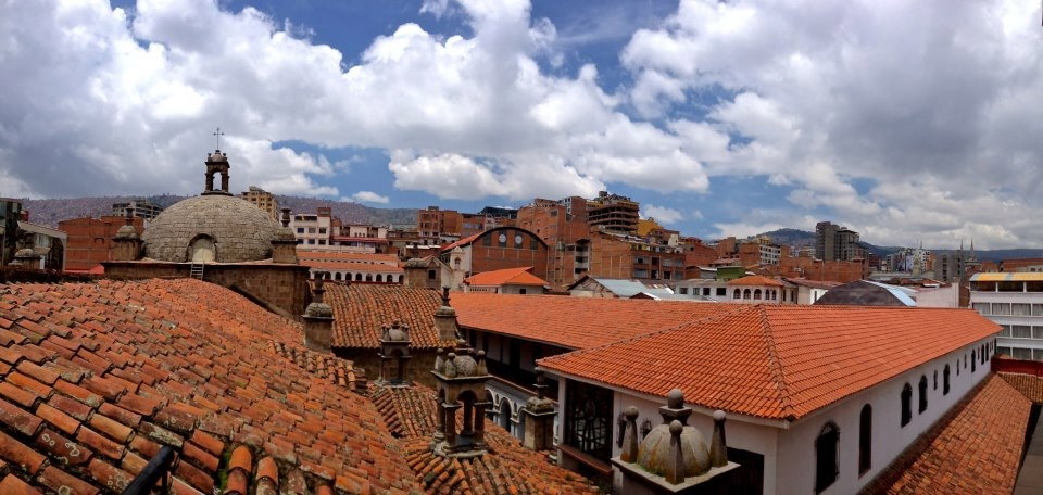
A rooftop view in La Paz, Bolivia, La Paz, Bolivia, 2012

A rooftop view in La Paz, Bolivia

2012 La Paz, Bolivia

A rooftop vantage point over La Paz, Bolivia, captured in 2012, shows the world's highest administrative capital spreading across the steep terrain of the Andean altiplano.

See this spot on the map
Have an old photo of La Paz? A family album, a postcard, a print from the attic. Pin it to the map and it becomes part of the record.
Add your photo
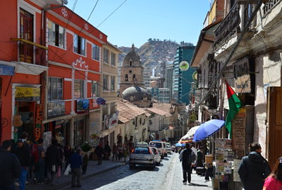
Basílica Menor Nuestra Señora de los Ángeles (San Francisco) through time — all 2 photos taken here (2012–2025) →

More from La Paz

La Paz Hills, La Paz, 2012
La Paz Hills 2012
La Paz a katedrála, La Paz, 2012
La Paz a katedrála 2012
El Alto, La Paz, 2012
El Alto 2012
La Paz - El Alto, La Paz, 2012
La Paz - El Alto 2012
La Paz, La Paz, 2012
La Paz 2012
Street Outside La Paz, Bolivia, La Paz, 2012
Street Outside La Paz, Bolivia 2012
La Paz, La Paz, 2012
La Paz 2012
HDR - La Paz, Bolivia, La Paz, 2012
HDR - La Paz, Bolivia 2012