Home › Trincomalee › 1940
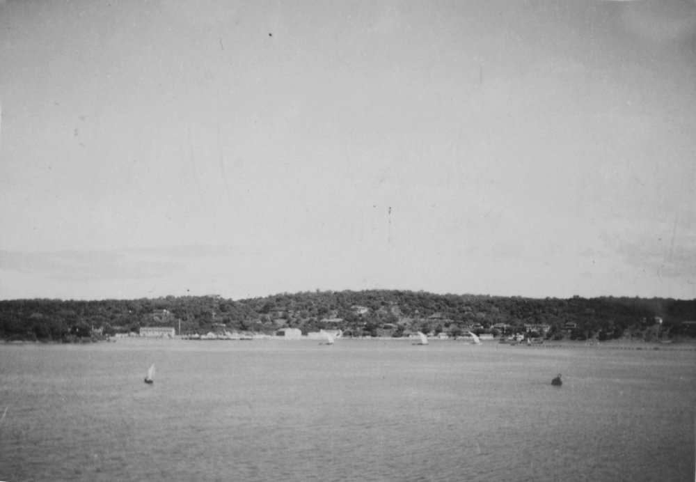
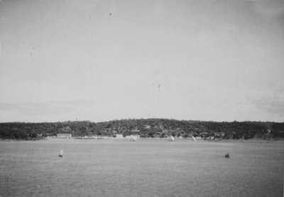
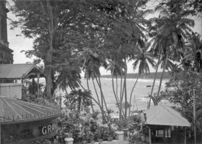
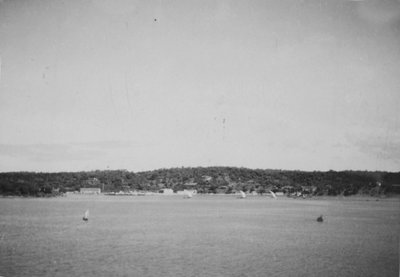
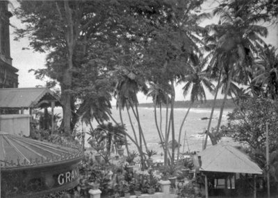
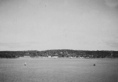
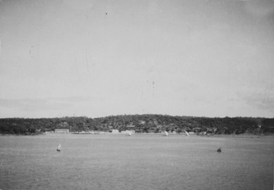
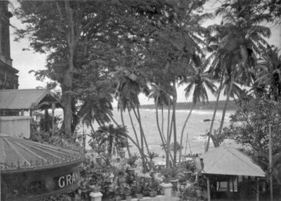
EU: De kust bij Trincomalee (Ceylon) begin jaren 40 (1940)
1940 Trincomalee, Sri Lanka
Trincomalee's coastline is shown here around 1940, when the island was still the British colony of Ceylon. The town's natural deep-water harbor, among the finest in the Indian Ocean, had long made it a strategically important port on Sri Lanka's northeast coast.
See this spot on the map
Have an old photo of Trincomalee?
A family album, a postcard, a print from the attic. Pin it to the map and it becomes part of the record.
Add your photo
Trincomalee Watchtower through time — all 20 photos taken here (1940–2023) →