Home › Montevideo › 2024

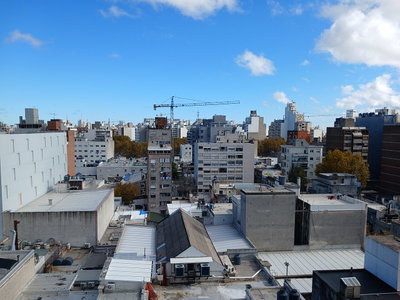
Vista aerea de la Bahia del Cerro de Montevideo
2024 Montevideo, Uruguay
This aerial view overlooks the Bay of Montevideo near the Cerro, the hill on the western side of Uruguay's capital that gives the area its name and once anchored the city's colonial-era fortifications.
See this spot on the map
Have an old photo of Montevideo?
A family album, a postcard, a print from the attic. Pin it to the map and it becomes part of the record.
Add your photo
Vista aerea del Palacio Salvo through time — all 5 photos taken here (2011–2024) →