Home › Quebec City › Quebec City Skyline
Quebec City Skyline through time
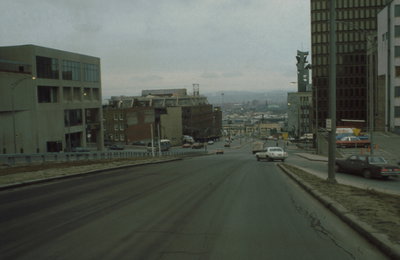
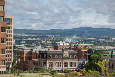
Quebec City 1981–2014 2 photos of this spot
2 recent photographs taken at the same spot in Quebec City, spanning 1981–2014. Have an older picture of it? Add it and start this spot's timeline.
Autoroute Dufferin in Quebec City, viewed north from its intersection with boulevard Saint-Cyrille in 1981. The elevated expressway was built to connect the historic core with the city's western districts.
See this spot on the map
Have an old photo of Quebec City Skyline?
A family album, a postcard, a print from the attic. Pin it to the map and it becomes part of the record.
Add your photo