Home › Senya Beraku › EU: Fort Goede Hoop, zuidoostelijke zijde (1966)
EU: Fort Goede Hoop, zuidoostelijke zijde (1966) through time
Senya Beraku 1966–2000 2 photos of this spot
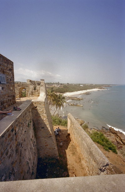
2 photographs taken at the same spot in Senya Beraku, spanning 1966–2000 — 1 of them from before 1980. Line them up and watch the place change.
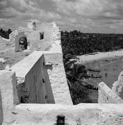
The southeastern side of the fort at Senya Beraku, Ghana, built by Dutch traders, photographed in 1966. Known as Fort Good Hope, it was one of several Dutch outposts strung along the Gold Coast's shoreline.
See this spot on the map
Have an old photo of EU: Fort Goede Hoop, zuidoostelijke zijde (1966)?
A family album, a postcard, a print from the attic. Pin it to the map and it becomes part of the record.
Add your photo