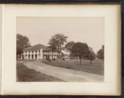
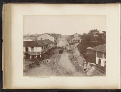
Home › Singapore › EU: View of main road (1890)

EU: View of main road (1890) through time

Singapore 1890 11 photos of this spot

11 photographs taken at the same spot in Singapore, spanning 1890 — 11 of them from before 1980. Line them up and watch the place change.

A wide view over Tanjong Pagar as seen from the west in 1890, when the district was becoming Singapore's principal harbour area under the Tanjong Pagar Dock Company, formed in 1864 to develop deep-water docks along the coast.

See this spot on the map
Have an old photo of EU: View of main road (1890)? A family album, a postcard, a print from the attic. Pin it to the map and it becomes part of the record.
Add your photo
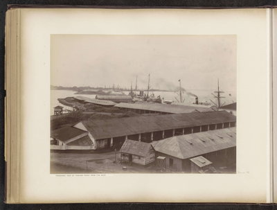
EU: Panoramic view of Tanjong Pagar from the west (1890), Singapore, 1890
EU: Panoramic view of Tanjong Pagar from the west (1890) 1890 A wide view over Tanjong Pagar as seen from the west in 1890, when the district was becoming Singapore's principal harbour area under the Tanjong Pagar Dock Company, formed in 1864 to develop deep-water docks along the coast.
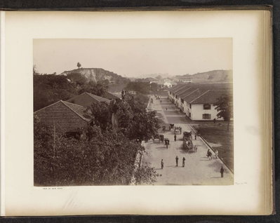
EU: View of main road (1890), Singapore, 1890
EU: View of main road (1890) 1890 This 1890 image records a main thoroughfare through Tanjong Pagar, the Singapore harbour district then being built up around the docks and warehouses of the Tanjong Pagar Dock Company.
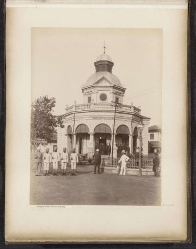
EU: Tanjong Pagar police station (1890), Singapore, 1890
EU: Tanjong Pagar police station (1890) 1890 The police station serving Tanjong Pagar appears here in 1890, a period when the district's rapid growth as Singapore's dock and shipping quarter required its own local law-enforcement post.
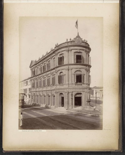
EU: Boustead Institute, Tanjong Pagar (1890), Singapore, 1890
EU: Boustead Institute, Tanjong Pagar (1890) 1890 Dating from 1890, this photograph shows the Boustead Institute in Tanjong Pagar, a mariners' mission and reading room that served sailors and dockworkers passing through Singapore's busy harbour district.
EU: Panorama of six sheets taken from clock tower (1890), Singapore, 1890
EU: Panorama of six sheets taken from clock tower (1890) 1890 Assembled from six photographic sheets shot atop a clock tower, this 1890 panorama surveys the harbour district of Tanjong Pagar in Singapore, taking in the docks and surrounding streets in one sweeping view.
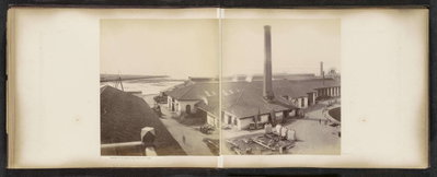
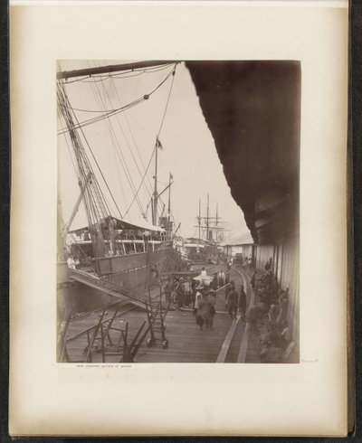
EU: View shewing section of wharf (1890), Singapore, 1890
EU: View shewing section of wharf (1890) 1890 A stretch of wharf in Tanjong Pagar is documented in this 1890 photograph, part of the dock facilities built by Singapore's harbour company to handle the growing volume of shipping calling at the port.
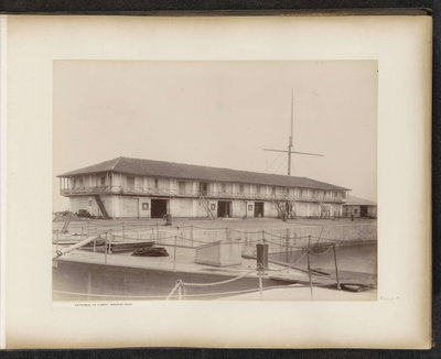
EU: Entrance of Albert Graving dock (1890), Singapore, 1890
EU: Entrance of Albert Graving dock (1890) 1890 Pictured in 1890, the entrance to Albert Graving Dock was one of the dry docks operated by the Tanjong Pagar Dock Company for ship repair and maintenance at Singapore's harbour.
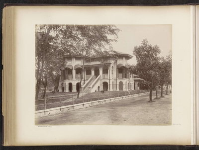
EU: Wharfinger's house (1890), Singapore, 1890
EU: Wharfinger's house (1890) 1890 Dated 1890, this photograph shows the wharfinger's house at Tanjong Pagar, the residence of the official responsible for overseeing wharf operations at Singapore's harbour.
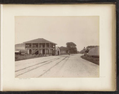
EU: Tramway manager's house (1890), Singapore, 1890
EU: Tramway manager's house (1890) 1890 The house of the tramway manager at Tanjong Pagar appears in this 1890 photograph, reflecting the district's growth as a hub of transport and dock infrastructure in colonial Singapore.
EU: Everton estate and house (1890), Singapore, 1890
EU: Everton estate and house (1890) 1890 Everton estate and its house, in the hills above Tanjong Pagar, feature in this 1890 photograph; the estate's name survives today in Everton Road, near central Singapore.
EU: View on main entrance from Boustead Institute (1890), Singapore, 1890
EU: View on main entrance from Boustead Institute (1890) 1890 Taken in 1890, this view looks toward the main entrance from the vantage of the Boustead Institute, the mariners' reading room and mission house serving Tanjong Pagar's harbour community.