Home › Bogotá › Norte de Bogotá

Norte de Bogotá through time

Bogotá 2018–2019 2 photos of this spot

2 recent photographs taken at the same spot in Bogotá, spanning 2018–2019. Have an older picture of it? Add it and start this spot's timeline.

An aerial panorama of Bogotá, Colombia, taken in 2018, showing the dense urban sprawl of South America's third-largest city set against the eastern hills of the Andes.

See this spot on the map
Have an old photo of Norte de Bogotá? A family album, a postcard, a print from the attic. Pin it to the map and it becomes part of the record.
Add your photo
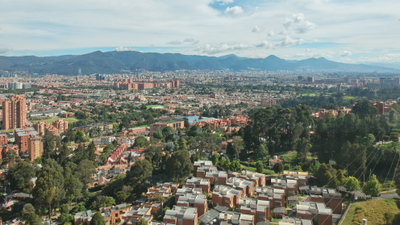
Panorama de Bogotá, Bogotá, 2018
Panorama de Bogotá 2018 An aerial panorama of Bogotá, Colombia, taken in 2018, showing the dense urban sprawl of South America's third-largest city set against the eastern hills of the Andes.
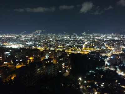
Norte de Bogotá, Bogotá, 2019
Norte de Bogotá 2019 This photograph was taken in the northern part of Bogotá, Colombia's capital. The area developed largely over the twentieth century into a district of modern residential and commercial buildings, in contrast to the colonial core of La Candelaria to the south.