Home › Cities › Da Lat

Old photos of Da Lat

206 photographs of Da Lat, from 1925 to 2025 — each pinned to the exact place it was taken.

Have an old photo of Da Lat? A family album, a postcard, a print from the attic. Pin it to the map and it becomes part of the record.
Add your photo

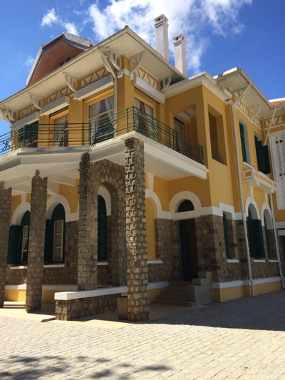
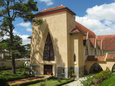
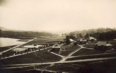
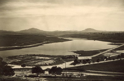
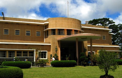
Da Lat lies on the Langbian plateau in the Central Highlands of Vietnam, at an altitude that gives it a cool, temperate climate. The area was inhabited by Lat and other highland peoples when the Swiss-French doctor Alexandre Yersin explored the plateau in the 1890s and recommended it as a site for a hill station. The French colonial administration developed the town from the early 1900s as a resort and health retreat for officials from Saigon and Hanoi, with villas in styles recalling the French provinces, a railway with a cog section climbing from the coast, an artificial lake, a golf course and the Lang Bian Palace hotel.

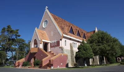
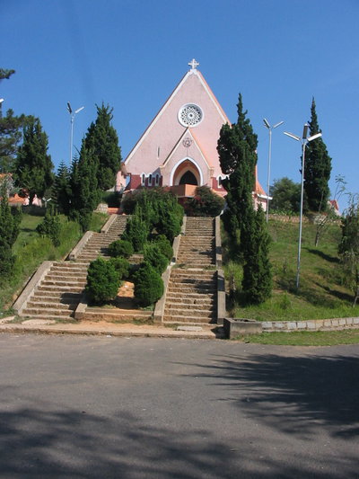
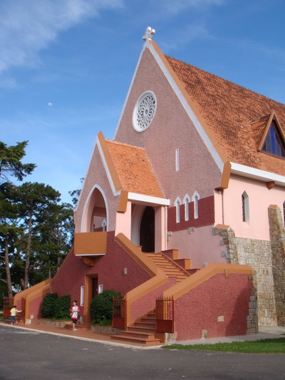
Between the wars the town was planned as a garden city and was at one point considered as a possible administrative capital of French Indochina. The last emperor, Bao Dai, kept a summer palace here. Da Lat was largely spared fighting during the Vietnam War, and many of its colonial villas, the railway station and the Domaine de Marie convent survive. It became known for its flower gardens, market vegetables and pine forests, and remains a popular destination for Vietnamese honeymooners and tourists.

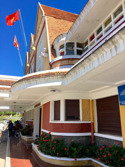
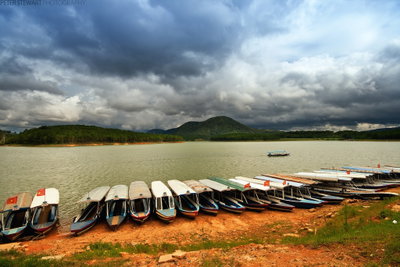
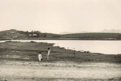
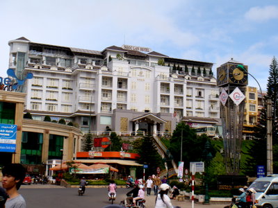
Old photographs of Da Lat typically show the lake and the Lang Bian Palace hotel, French villas among pines, the railway station, the central market and highland villagers.

What the photos show

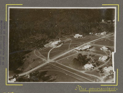
The 206 photographs of Da Lat on PlaceWas span 5 decades, from 1925 to 2025. 5 of them were taken before 1980; the other 201 are recent views of the same streets and landmarks.36 spots were photographed more than once, so you can compare the same street, square or building across the years.206 of the photos carry a written caption explaining what is in the frame. Every picture is pinned to the place it was taken, so the map below shows where the photographers stood.

Pick a decade to filter the photos below and the map above. Open full map ↗

Places in Da Lat through time

Spots photographed more than once — compare the same place across the years.
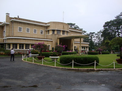
Dinh Bao Dai III, Da Lat — photos through time
Dinh Bao Dai III 14 photos · 2012–2015
Da Lat, Da Lat — photos through time
Da Lat 10 photos · 2010–2017
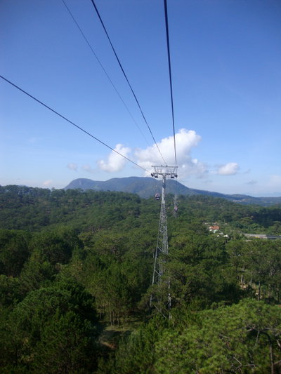
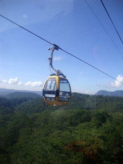
Cáp Treo Đà Lạt, Da Lat — photos through time
Cáp Treo Đà Lạt 8 photos · 2015–2016
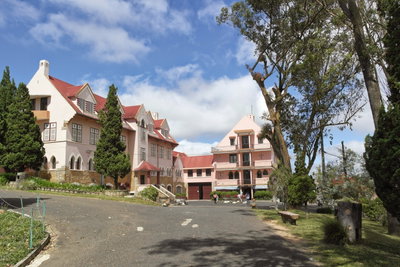
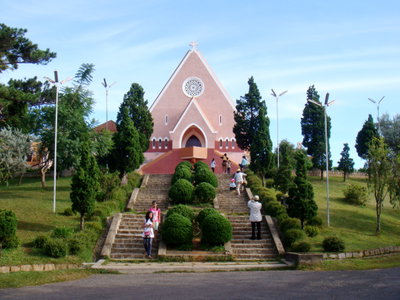
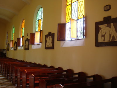
Domaine de Marie, Da Lat — photos through time
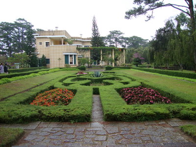
Domaine de Marie 7 photos · 2014–2015
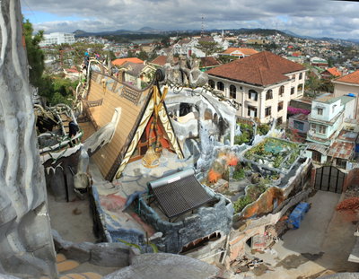
Crazy House in Da Lat, Da Lat — photos through time
Crazy House in Da Lat 7 photos · 2015
Vietnam, Da Lat — photos through time
Vietnam 7 photos · 2015
Cáp treo Đà Lạt, Da Lat — photos through time
Cáp treo Đà Lạt 6 photos · 2012–2015
Domaine de Marie, Da Lat — photos through time
Domaine de Marie 6 photos · 2012–2015
Hồ Xuân Hương, Da Lat — photos through time
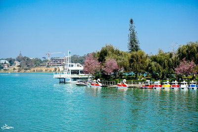
Hồ Xuân Hương 5 photos · 1930–2025
Linh Sơn Cô Tư Đa Lat, Da Lat — photos through time
Linh Sơn Cô Tư Đa Lat 5 photos · 2014
Xuân Hương Lake, Da Lat — photos through time
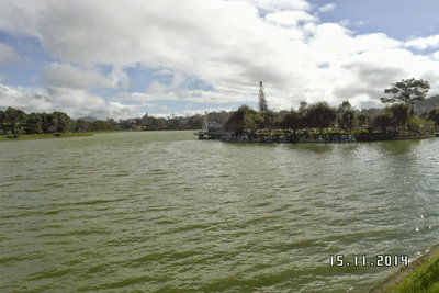
Xuân Hương Lake 5 photos · 2015–2018
Dalat night market, Da Lat — photos through time
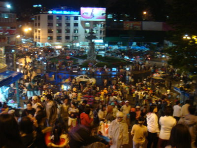
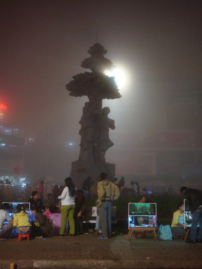
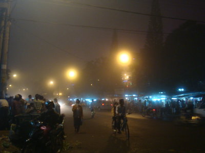
Dalat night market 4 photos · 2010–2012
Dinh Bao Dai I, Da Lat — photos through time
Dinh Bao Dai I 4 photos · 2015
Domaine de Marie in Da Lat, Vietnam, Da Lat — photos through time
Domaine de Marie in Da Lat, Vietnam 4 photos · 2010
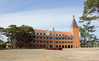
Pedagogical College of Dalat, Da Lat — photos through time
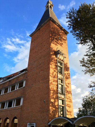
Pedagogical College of Dalat 4 photos · 2012–2015
Ana Mandara, Dalat, Da Lat — photos through time
Ana Mandara, Dalat 3 photos · 2015
Cáp treo Đà Lạt, Da Lat — photos through time
Cáp treo Đà Lạt 3 photos · 2012–2015
Cổng Vườn Hoa, Da Lat — photos through time
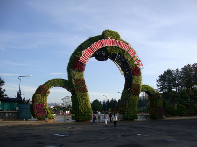
Cổng Vườn Hoa 3 photos · 2012–2016
Dinh Bao Dai III, Da Lat — photos through time
Dinh Bao Dai III 3 photos · 2012–2015
Hồ Xuân Hương, Da Lat — photos through time
Hồ Xuân Hương 3 photos · 2014–2015
Pedagogical College of Dalat, Da Lat — photos through time
Pedagogical College of Dalat 3 photos · 2015
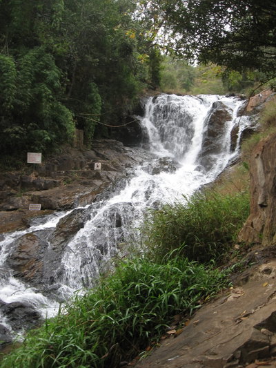
Thác Datanla, Đà Lạt, Da Lat — photos through time
Thác Datanla, Đà Lạt 3 photos · 2012
Vietnam, Da Lat — photos through time
Vietnam 3 photos · 2015
Y Khoa Pasteur, Dalat, Da Lat — photos through time
Y Khoa Pasteur, Dalat 3 photos · 2015
Cam ly waterfall, Da Lat — photos through time
Cam ly waterfall 2 photos · 2016
Church of Chicken in Da Lat, Vietnam, Da Lat — photos through time
Church of Chicken in Da Lat, Vietnam 2 photos · 2010
Cáp treo Đà Lạt, Da Lat — photos through time
Cáp treo Đà Lạt 2 photos · 2012
Cáp Treo Đà Lạt, Da Lat — photos through time
Cáp Treo Đà Lạt 2 photos · 2016
Dalat Train Station, Da Lat — photos through time
Dalat Train Station 2 photos · 2011–2015
Dalat Train Station, Da Lat — photos through time
Dalat Train Station 2 photos · 2015
Flickr - Shinrya - Giant Chicken, Da Lat — photos through time
Flickr - Shinrya - Giant Chicken 2 photos · 2011
Hố Xuân Hương ĐL, Da Lat — photos through time
Hố Xuân Hương ĐL 2 photos · 2016
Le Grand Lac ca, Da Lat — photos through time
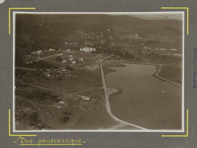
Le Grand Lac ca 2 photos · 1925
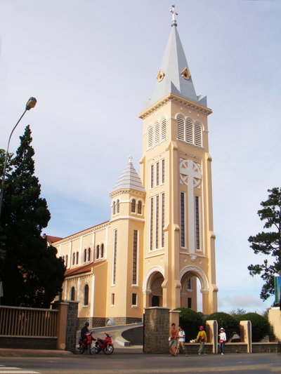
Notre Dame du Lang Bian 01, Da Lat — photos through time
Notre Dame du Lang Bian 01 2 photos · 2011
Vietnam, Da Lat — photos through time
Vietnam 2 photos · 2015
Xuan Huong Lake in Da Lat, Da Lat — photos through time
Xuan Huong Lake in Da Lat 2 photos · 1930–2016

Stories from Da Lat

What contributors wrote about these photographs.
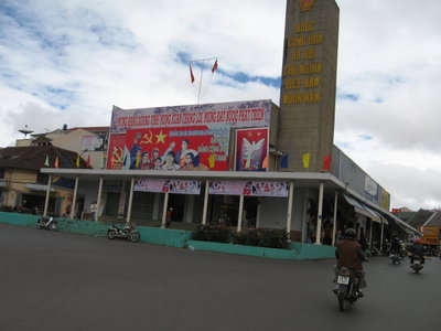
Nhà hát TT Đà Lạt, Da Lat, 2011
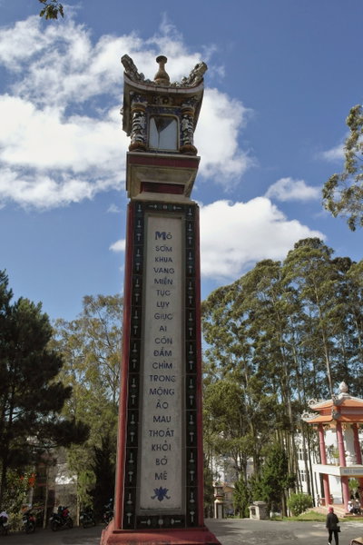
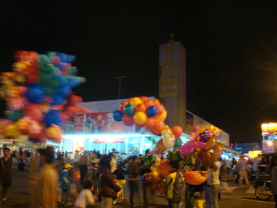
Nhà hát TT Đà Lạt 2011 A concrete monument inscribed with a slogan honoring the Socialist Republic of Vietnam stands beside a market building in Da Lat, its facade covered with red propaganda banners marking a Communist Party congress in 2011.…
Da Lat train station 02, Da Lat, 2011
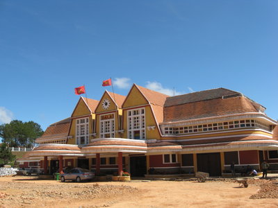
Da Lat train station 02 2011 The Art Deco Da Lat railway station in Da Lat, Vietnam, presents its distinctive row of triangular gables, a central clock, and terracotta tile roofing beneath a bright blue sky. A taxi and a handcart wait near the…
Da Lat Bus Station 01, Da Lat, 2011
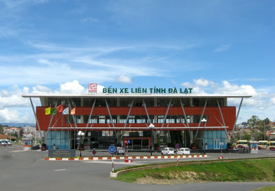
Da Lat Bus Station 01 2011 The bus station serving Da Lat, a hill town in Vietnam's Central Highlands developed by French colonists in the early twentieth century as a cool-climate retreat. This 2011 photograph shows the terminal used by travelers…
Đà Lạt, Da Lat, 2011
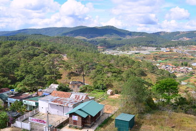
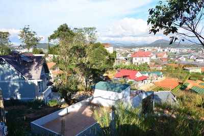
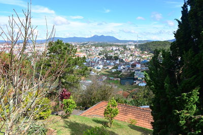
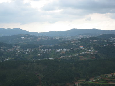
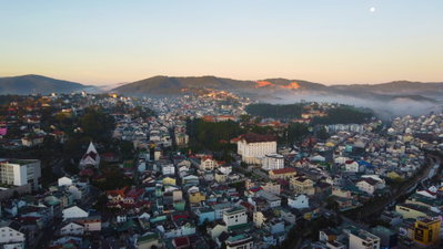
Đà Lạt 2011 A view of Da Lat, a hill station in Vietnam's Central Highlands known for its temperate climate, lakes, and surrounding pine forests. Founded as a resort town under French colonial rule, the city remains a popular…
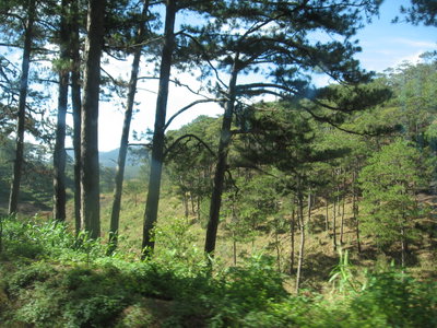
Rừng Thông Đà Lạt, Da Lat, 2011
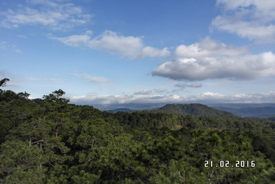
Rừng Thông Đà Lạt 2011 Pine forest on the outskirts of Da Lat, Vietnam. The tree-covered hills surrounding the town are one of the reasons Da Lat became a popular highland retreat during the French colonial period, prized for its cooler…
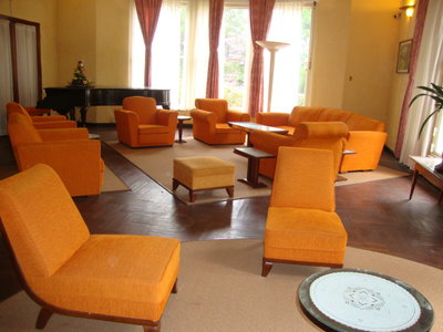
Phòng tiếp tân, Dinh Bảo Đại, Đà Lạt, Da Lat, 2012
Phòng tiếp tân, Dinh Bảo Đại, Đà Lạt 2012 The reception hall of Dinh Bao Dai, the hillside residence built for Vietnam's last reigning emperor, Bao Dai, in the resort town of Da Lat. This photograph was taken in 2012; Da Lat was originally developed as a hill…
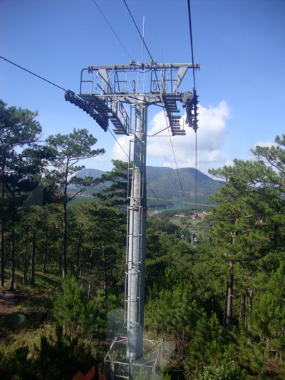
Cáp treo Đà Lạt, Da Lat, 2012
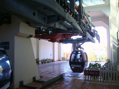
Cáp treo Đà Lạt 2012 Da Lat, in Vietnam's Central Highlands, was developed as a hill station by French colonial administrators in the early 20th century for its cool climate. A cable car built for tourists carries visitors over the…
Cáp treo Đà Lạt, Da Lat, 2012
Cáp treo Đà Lạt 2012 This 2012 image shows the cable car connecting central Da Lat to the Truc Lam area, one of the ways visitors take in views of Vietnam's highland resort town from above, its cabins gliding over pine-covered ridges laid…
1920s · 3 photos
1930s · 2 photos
2000s · 3 photos
2010s · 193 photos · showing 12, all 193 on the map ↗
2020s · 5 photos