Home › Da Lat › 1930
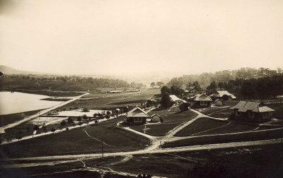
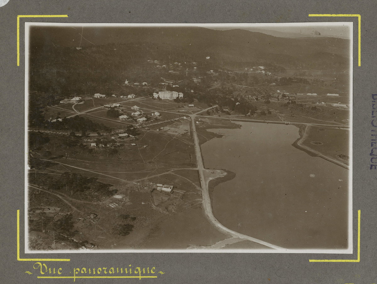
Vue aérienne de Da Lat (11088), Da Lat, Vietnam, 1930

Vue aérienne de Da Lat (11088)

1930 Da Lat, Vietnam

An aerial view of Da Lat, Vietnam, taken in 1930. The hill town in Vietnam's Central Highlands was developed by the French as a highland retreat in the early twentieth century.

See this spot on the map
Have an old photo of Da Lat? A family album, a postcard, a print from the attic. Pin it to the map and it becomes part of the record.
Add your photo

Hồ Xuân Hương through time — all 5 photos taken here (1930–2025) →
More from Da Lat

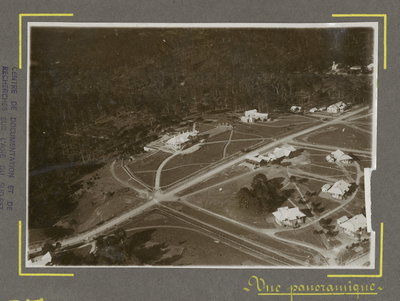
Vue aérienne de Da Lat (11090), Da Lat, 1930
Vue aérienne de Da Lat (11090) 1930
Houses in Da Lat 1920s, near LangBian Hotel, Da Lat, 1925
Houses in Da Lat 1920s, near LangBian Hotel 1925
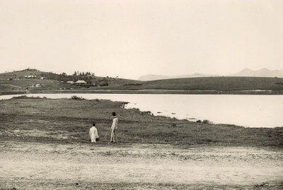
Le Grand Lac and LangBiang, Da Lat, 1925
Le Grand Lac and LangBiang 1925
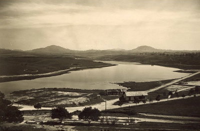
Le Grand Lac ca, Da Lat, 1925
Le Grand Lac ca 1925
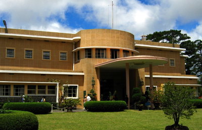
Bao Dai's villa, Da Lat, 2005
Bao Dai's villa 2005
Domaine de Marie, Da Lat, 2007
Domaine de Marie 2007
Da Lat, Da Lat, 2007
Da Lat 2007
Domaine de Marie in Da Lat, Vietnam, Da Lat, 2010
Domaine de Marie in Da Lat, Vietnam 2010