Home › Da Lat › Cáp treo Đà Lạt

Cáp treo Đà Lạt through time

Da Lat 2012–2015 3 photos of this spot

3 recent photographs taken at the same spot in Da Lat, spanning 2012–2015. Have an older picture of it? Add it and start this spot's timeline.

This 2012 image shows the cable car connecting central Da Lat to the Truc Lam area, one of the ways visitors take in views of Vietnam's highland resort town from above, its cabins gliding over pine-covered ridges laid out by French planners nearly a century earlier.

See this spot on the map
Have an old photo of Cáp treo Đà Lạt? A family album, a postcard, a print from the attic. Pin it to the map and it becomes part of the record.
Add your photo
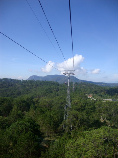
Cáp treo Đà Lạt, Da Lat, 2012
Cáp treo Đà Lạt 2012 This 2012 image shows the cable car connecting central Da Lat to the Truc Lam area, one of the ways visitors take in views of Vietnam's highland resort town from above, its cabins gliding over pine-covered ridges laid out by French planners nearly a century earlier.
Cáp treo Đà Lạt, Da Lat, 2012
Cáp treo Đà Lạt 2012 Da Lat's cable car system, opened in the early 2000s, spans forested valleys in Vietnam's Central Highlands and remains a popular attraction in the former French hill station. This photograph was taken in 2012.
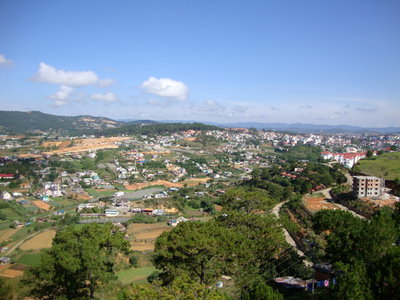
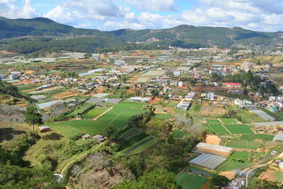
Vietnam, Da Lat, 2015
Vietnam 2015 A street scene in Da Lat, Vietnam, from 2015. Surrounded by pine forests and small lakes, the hill town has served as a highland retreat since French colonial administrators built villas there in the early 1900s.