Home › Da Lat › Xuân Hương Lake

Xuân Hương Lake through time

Da Lat 2015–2018 5 photos of this spot

5 recent photographs taken at the same spot in Da Lat, spanning 2015–2018. Have an older picture of it? Add it and start this spot's timeline.

Xuan Huong Lake, the artificial lake at the center of Da Lat, was created in 1919 when a dam was built across the Cam Ly stream. It remains the focal point of the hill station's cityscape.

See this spot on the map
Have an old photo of Xuân Hương Lake? A family album, a postcard, a print from the attic. Pin it to the map and it becomes part of the record.
Add your photo
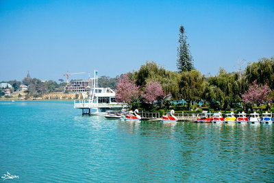
Xuân Hương Lake, Da Lat, 2015
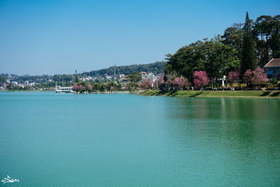
Xuân Hương Lake 2015 Xuan Huong Lake, the artificial lake at the center of Da Lat, was created in 1919 when a dam was built across the Cam Ly stream. It remains the focal point of the hill station's cityscape.
Xuân Hương Lake, Da Lat, 2015
Xuân Hương Lake 2015 Xuân Hương Lake, an artificial lake formed when French colonial authorities dammed a local stream in the early twentieth century, is Da Lat's best-known landmark. This photograph dates to 2015.
Xuân Hương Lake, Da Lat, 2015
Xuân Hương Lake 2015 Da Lat's Xuân Hương Lake, created by damming the Cam Ly stream in the early twentieth century, remains the centerpiece of this Vietnamese hill town. Image dated 2015.
Xuân Hương Lake, Da Lat, 2015
Xuân Hương Lake 2015 Xuan Huong Lake in Da Lat, Vietnam, photographed in 2015. The artificial lake was created in the 1920s under French administration and remains the centerpiece of the hill town.
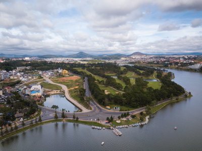
A river in Vietnam, Da Lat, 2018
A river in Vietnam 2018 A river near Đà Lạt in Vietnam's Central Highlands, photographed in 2018 in a region known for its cool climate and pine-forested hills.