
Home › Daugavpils › EU: Vienības tilts. Daugavpils (1938) [3212]
EU: Vienības tilts. Daugavpils (1938) [3212] through time
Daugavpils 1938 4 photos of this spot
4 photographs taken at the same spot in Daugavpils, spanning 1938 — 4 of them from before 1980. Line them up and watch the place change.
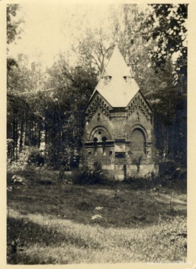
A small chapel stands in the countryside near Daugavpils, photographed in 1938. The image reflects the rural landscape surrounding this city in the Latgale region of eastern Latvia during the interwar period.
See this spot on the map
Have an old photo of EU: Vienības tilts. Daugavpils (1938) [3212]?
A family album, a postcard, a print from the attic. Pin it to the map and it becomes part of the record.
Add your photo
![EU: Vienības tilts. Daugavpils (1938) [3212], Daugavpils, 1938](https://cdn.placewas.com/placewas/71e91733c92d46e3a34d30a6c4f7f4b4.jpg?width=400)
![EU: Vienības tilts. Daugavpils (1938) [3214], Daugavpils, 1938](https://cdn.placewas.com/placewas/32cd789c284e49d7baa07d9da1429d8f.jpg?width=400)
![EU: Vienības tilts. Daugavpils (1938) [3216], Daugavpils, 1938](https://cdn.placewas.com/placewas/93491f986ab249fa9a198eac0f2fd746.jpg?width=400)