Home › Kyoto › Gate of Honnoji

Gate of Honnoji through time

Kyoto 2013–2024 11 photos of this spot

11 recent photographs taken at the same spot in Kyoto, spanning 2013–2024. Have an older picture of it? Add it and start this spot's timeline.

Kawaramachi-Oike crossroads is shown at night, another major intersection in central Kyoto near the city's commercial core.

See this spot on the map
Have an old photo of Gate of Honnoji? A family album, a postcard, a print from the attic. Pin it to the map and it becomes part of the record.
Add your photo
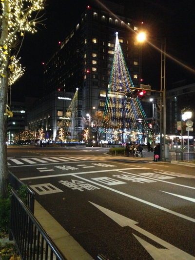
View of Kawaramachi-Oike Crossroads at night, Kyoto, 2013
View of Kawaramachi-Oike Crossroads at night 2013 Kawaramachi-Oike crossroads is shown at night, another major intersection in central Kyoto near the city's commercial core.
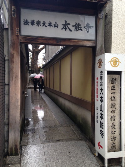
Gate of Honnoji, Kyoto, 2013
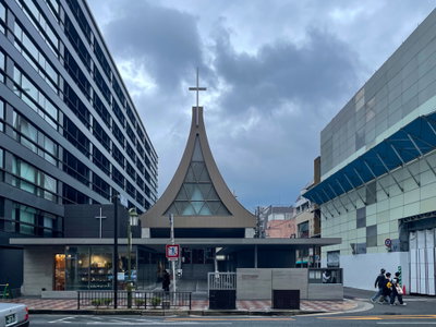
Gate of Honnoji 2013 This is the gate of Honno-ji, the Kyoto temple where the warlord Oda Nobunaga was killed in 1582 after being betrayed by one of his own generals, an event known as the Honno-ji Incident.
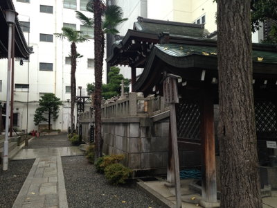
Mausoleum on east side of Hondo of Honnoji Temple, Kyoto, 2013
Mausoleum on east side of Hondo of Honnoji Temple 2013 A mausoleum stands on the east side of the hondo, or main hall, at Honno-ji in Kyoto, the temple most associated with the death of Oda Nobunaga in 1582.
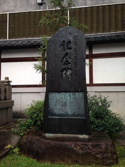
Stele of Oda Nobunaga in Honnoji Temple, Kyoto, 2013
Stele of Oda Nobunaga in Honnoji Temple 2013 A memorial stele for Oda Nobunaga at Honno-ji Temple in Kyoto, photographed in 2013. It was at an earlier temple on a nearby site in 1582 that Nobunaga died during the Honno-ji Incident, one of the pivotal events of Japan's Sengoku period.
Mapillary (AJBeykVgdP1LQCssmOA4qQ) (yasunari), Kyoto, 2019
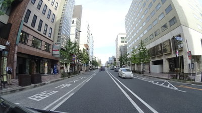
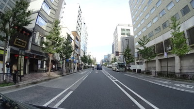
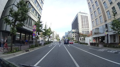
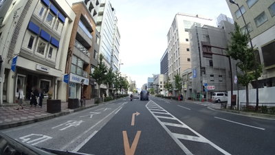
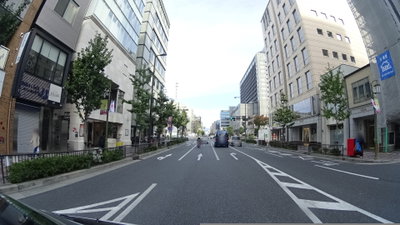
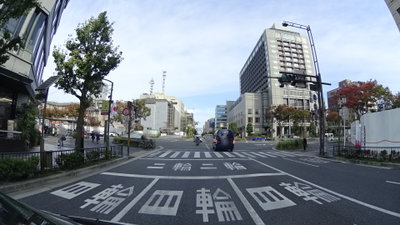
Mapillary (AJBeykVgdP1LQCssmOA4qQ) (yasunari) 2019 This 2019 street view of Kyoto, the former imperial capital of Japan from 794 to 1868, was recorded at 08:18 on November 3 for the Mapillary crowdsourced mapping project.
Mapillary (AJBeykVgdP1LQCssmOA4qQ) (yasunari), Kyoto, 2019
Mapillary (AJBeykVgdP1LQCssmOA4qQ) (yasunari) 2019 A street-level view of Kyoto captured early on November 3, 2019, part of a Mapillary imagery sequence recorded along the same street that morning.
Mapillary (AJBeykVgdP1LQCssmOA4qQ) (yasunari), Kyoto, 2019
Mapillary (AJBeykVgdP1LQCssmOA4qQ) (yasunari) 2019 Street-level view of Kyoto recorded at 08:18:09 on November 3, 2019, as part of the Mapillary mapping project documenting the city's streets.
Mapillary (AJBeykVgdP1LQCssmOA4qQ) (yasunari), Kyoto, 2019
Mapillary (AJBeykVgdP1LQCssmOA4qQ) (yasunari) 2019 Street-level Kyoto at 08:18:04 on November 3, 2019, one frame from a Mapillary crowdsourced mapping sequence recorded that morning.
Mapillary (AJBeykVgdP1LQCssmOA4qQ) (yasunari), Kyoto, 2019
Mapillary (AJBeykVgdP1LQCssmOA4qQ) (yasunari) 2019 A street-level view of Kyoto recorded at 08:18:06 on 3 November 2019, contributed to the Mapillary crowdsourced mapping platform by user yasunari as part of a longer sequence of images.
Mapillary (AJBeykVgdP1LQCssmOA4qQ) (yasunari), Kyoto, 2019
Mapillary (AJBeykVgdP1LQCssmOA4qQ) (yasunari) 2019 Part of the same Kyoto street sequence, captured moments later at 08:18:10 on 3 November 2019 by Mapillary contributor yasunari as part of the crowdsourced mapping platform's imagery.
Mapillary in 2024, Kyoto, 2024
Mapillary in 2024 2024 A further 2024 photograph taken in Kyoto, Japan, a city whose street grid was laid out in the eighth century when it first became the imperial capital.