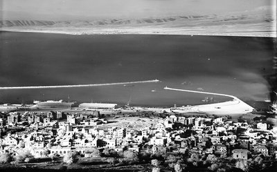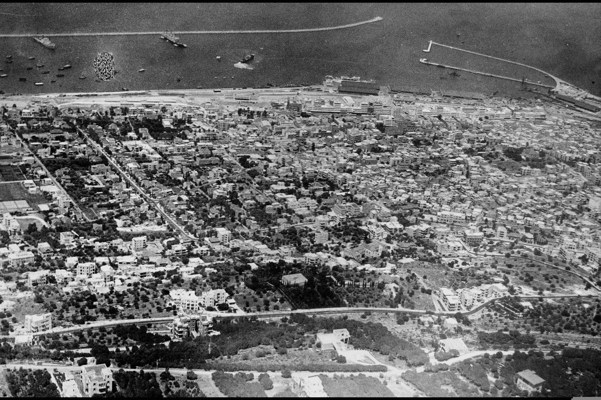
AN AERIAL PHOTO OF HAIFA
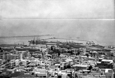
1937 Haifa, Israel
An aerial photograph of Haifa, taken in 1937 during the British Mandate period in Palestine, showing the layout of the port city on the slopes of Mount Carmel and along its Mediterranean harbor.
See this spot on the map
Have an old photo of Haifa?
A family album, a postcard, a print from the attic. Pin it to the map and it becomes part of the record.
Add your photo
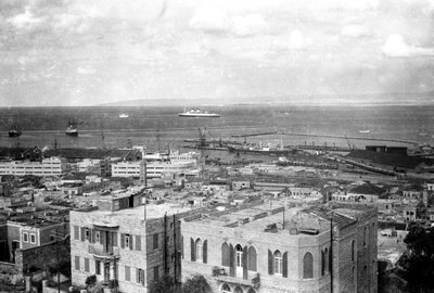
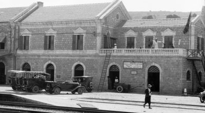
Haifa Port (ميناء حيفا) through time — all 16 photos taken here (1898–2024) →