Home › Haifa › 1946
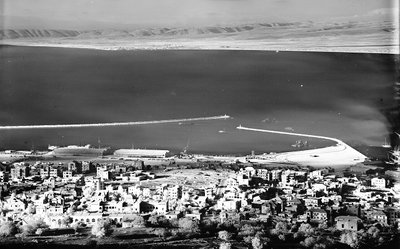
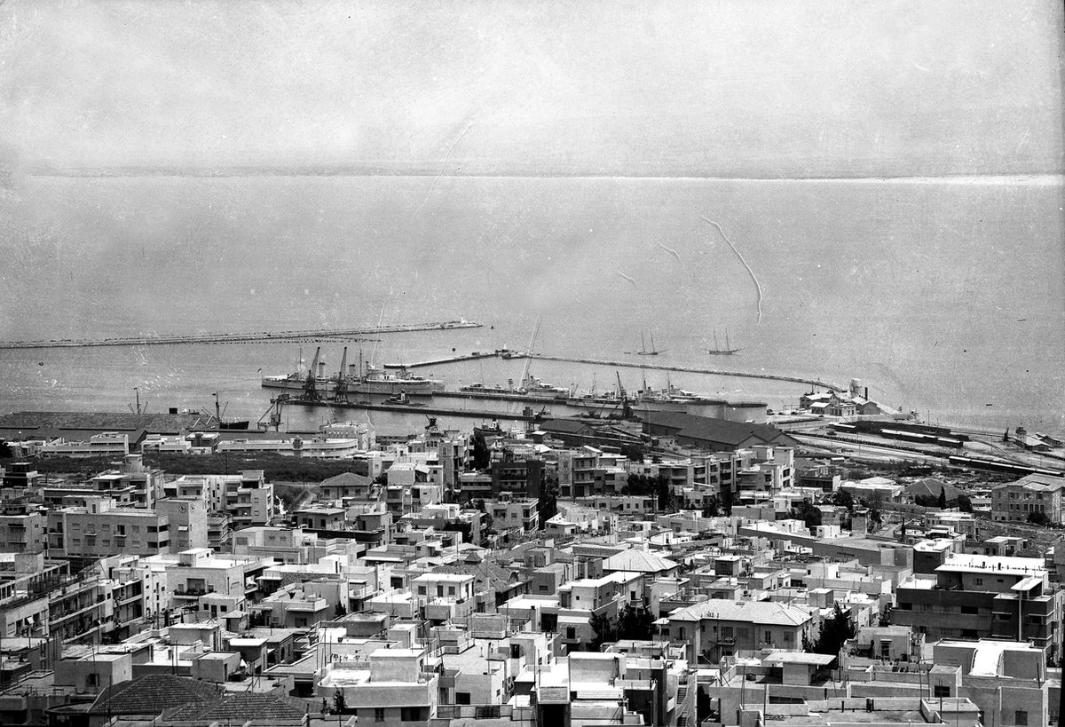
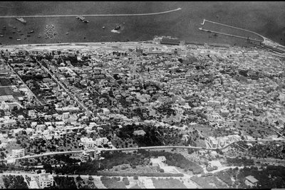
EU: Haifa Bay. (1946), Haifa, Israel, 1946

EU: Haifa Bay. (1946)

1946 Haifa, Israel

Haifa Bay in 1946, two years before the end of the British Mandate for Palestine, by which time Haifa's modern harbor had become the territory's principal port.

See this spot on the map
Have an old photo of Haifa? A family album, a postcard, a print from the attic. Pin it to the map and it becomes part of the record.
Add your photo

Haifa Port (ميناء حيفا) through time — all 16 photos taken here (1898–2024) →
More from Haifa

AN AERIAL PHOTO OF HAIFA, Haifa, 1937
AN AERIAL PHOTO OF HAIFA 1937
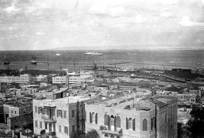
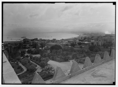
Haifa, looking across the bay from Carmel showing harbour & Acre beyond. between 1934 and, Haifa, 1936
Haifa, looking across the bay from Carmel showing harbour & Acre beyond. between 1934 and 1936
EU: The Haifa Bay. (1936), Haifa, 1936
EU: The Haifa Bay. (1936) 1936
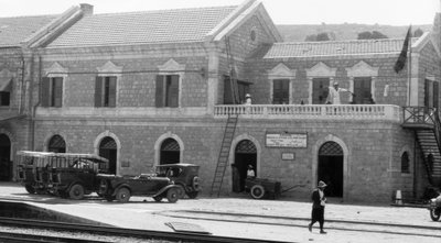
Haifa Railroad Station. Approximately 1925 to, Haifa, 1935
Haifa Railroad Station. Approximately 1925 to 1935
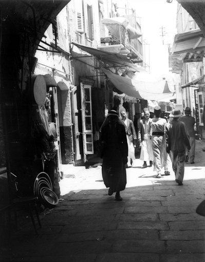
A NARROW STREET IN DOWNTOWN HAIFA. סמטה צרה בעיר, Haifa, 1934
A NARROW STREET IN DOWNTOWN HAIFA. סמטה צרה בעיר 1934
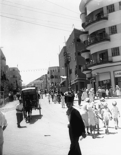
ARLOZOROV STREET IN HAIFA. רחוב ארלוזורוב, Haifa, 1933
ARLOZOROV STREET IN HAIFA. רחוב ארלוזורוב 1933
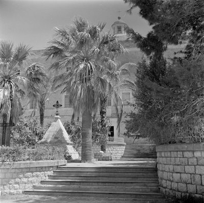
EU: Stella Maris klooster en monument (1964), Haifa, 1964
EU: Stella Maris klooster en monument (1964) 1964
Carmel and Haifa. Haifa and the bay from lower slopes of Carmel LOC, Haifa, 1920
Carmel and Haifa. Haifa and the bay from lower slopes of Carmel LOC 1920