Home › Da Lat › 2016
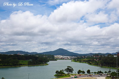
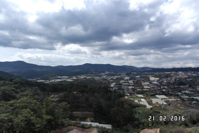
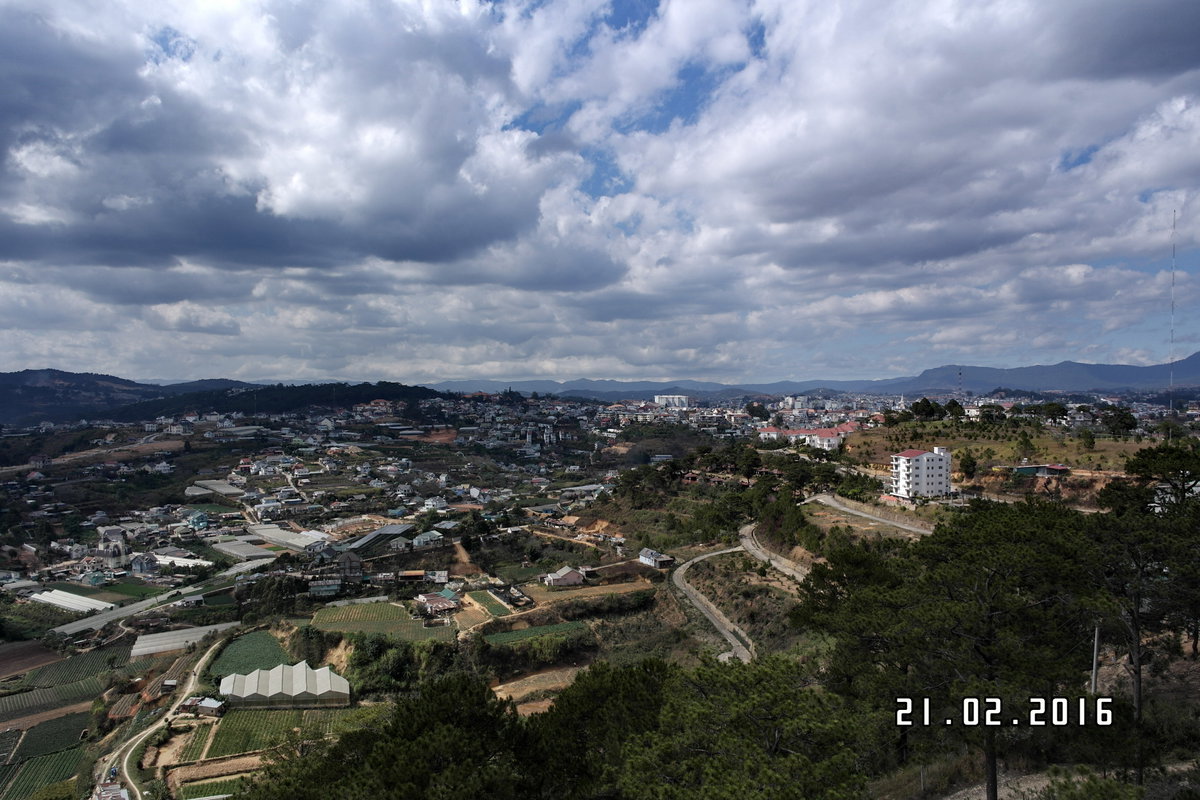
Toàn cảnh đà lạt, Da Lat, Vietnam, 2016

Toàn cảnh đà lạt

2016 Da Lat, Vietnam

A panoramic view of Da Lat, Vietnam, photographed in 2016. Situated in the Central Highlands at an elevation of around 1,500 meters, Da Lat is known for its cooler climate and pine forests compared with lowland Vietnam.

See this spot on the map
Have an old photo of Da Lat? A family album, a postcard, a print from the attic. Pin it to the map and it becomes part of the record.
Add your photo

Cáp Treo Đà Lạt through time — all 8 photos taken here (2015–2016) →
More from Da Lat

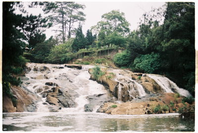
Cam ly waterfall, Da Lat, 2016
Cam ly waterfall 2016
Xuan Huong Lake in Da Lat, Da Lat, 2016
Xuan Huong Lake in Da Lat 2016
Hồ Xuân Hương, Da Lat, 2016
Hồ Xuân Hương 2016
Bao Dai's Palace 1, Da Lat, 2016
Bao Dai's Palace 1 2016
Hố Xuân Hương ĐL, Da Lat, 2016
Hố Xuân Hương ĐL 2016
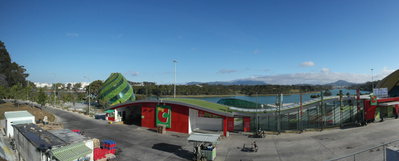
Cáp Treo Đà Lạt (toan canh da lat ), Da Lat, 2016
Cáp Treo Đà Lạt (toan canh da lat ) 2016
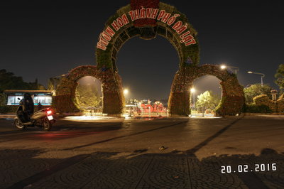
Cổng Vườn Hoa, Da Lat, 2016
Cổng Vườn Hoa 2016
Hố Xuân Hương ĐL, Da Lat, 2016
Hố Xuân Hương ĐL 2016