Home › Sa Pa › Rào tre

Rào tre through time

Sa Pa 2010–2018 5 photos of this spot

5 recent photographs taken at the same spot in Sa Pa, spanning 2010–2018. Have an older picture of it? Add it and start this spot's timeline.

A street scene in Sa Pa, Vietnam, captured in 2010. The compact hill town, set high in the Hoàng Liên Son mountains near the Chinese border, serves as a gateway for visitors exploring the surrounding valleys.

See this spot on the map
Have an old photo of Rào tre? A family album, a postcard, a print from the attic. Pin it to the map and it becomes part of the record.
Add your photo
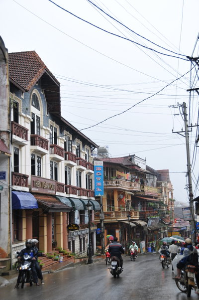
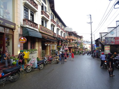
Phố Sapa, Sa Pa, 2010
Phố Sapa 2010 A street scene in Sa Pa, Vietnam, captured in 2010. The compact hill town, set high in the Hoàng Liên Son mountains near the Chinese border, serves as a gateway for visitors exploring the surrounding valleys.
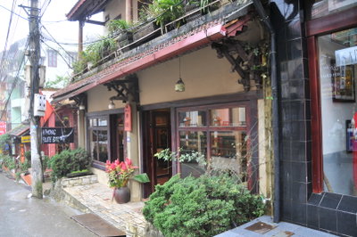
Nhà trưng bày tranh, Sa Pa, 2010
Nhà trưng bày tranh 2010 A small painting exhibition house in Sa Pa, Vietnam, photographed in 2010. The hill town in Lao Cai province has long attracted visitors for its mountain scenery and hill-tribe culture.
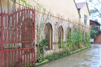
Rào tre, Sa Pa, 2010
Rào tre 2010 Photographed in 2010 near Sa Pa in Vietnam's mountainous Lao Cai province, this image captures the terraced landscape and streams that define the region, long home to Hmong and other highland ethnic communities.
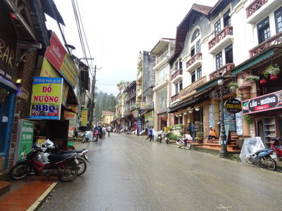
Cầu Mây Alley (Sa Pa), Sa Pa, 2018
Cầu Mây Alley (Sa Pa) 2018 Cầu Mây, a narrow alley in Sa Pa town lined with shops and guesthouses catering to visitors, photographed in 2018 in this northern Vietnamese hill station.
Cầu Mây Alley, Sa Pa, Sa Pa, 2018
Cầu Mây Alley, Sa Pa 2018 A lane near Cau May, or 'Cloud Bridge,' in Sa Pa, a hill town in Vietnam's Hoang Lien Son mountains that grew as a French colonial retreat in the early twentieth century and remains known for its terraced rice fields and ethnic minority communities.