Old photos of Sa Pa
212 photographs of Sa Pa, from 1919 to 2025 — each pinned to the exact place it was taken.
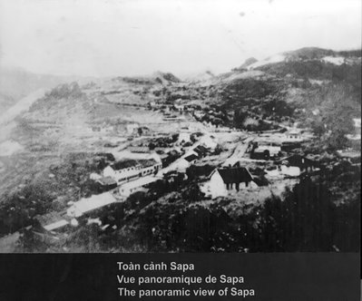
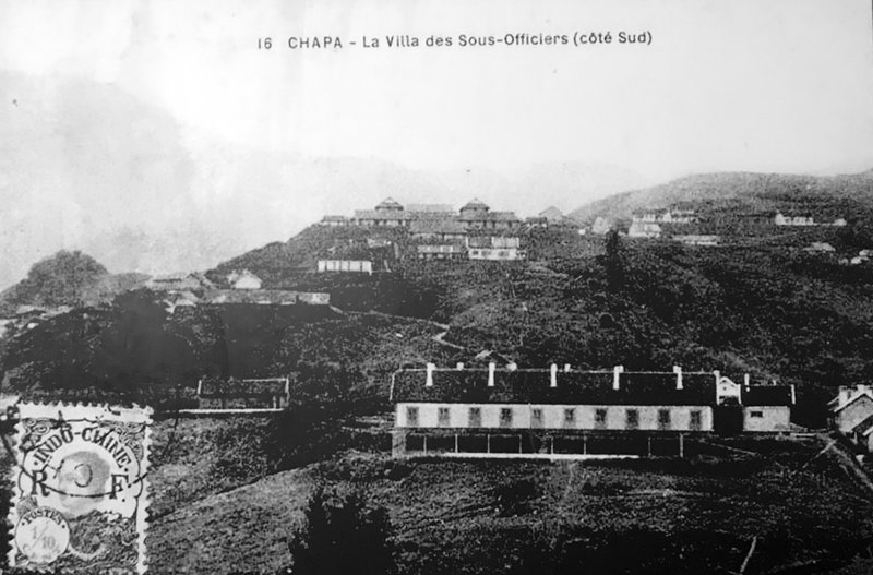 1919
1919
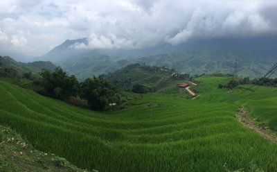
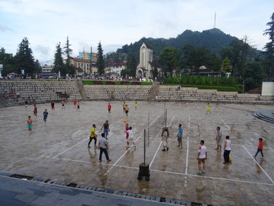
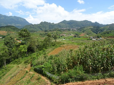
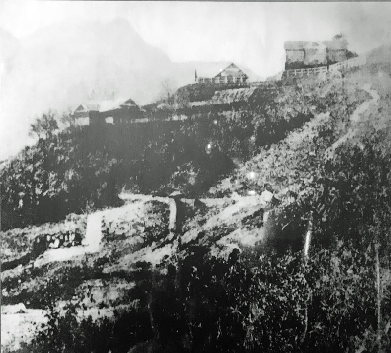 2017
2017
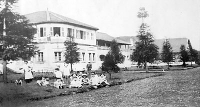
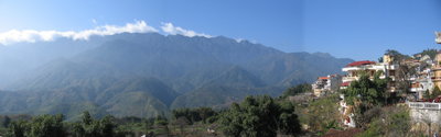
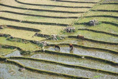
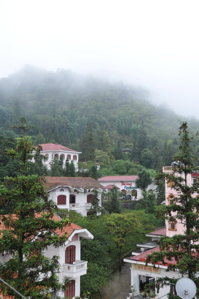
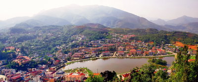
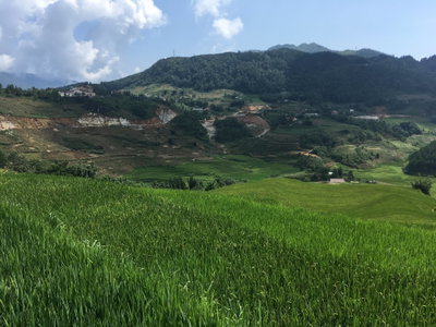
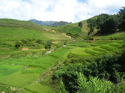
Sa Pa is a hill town in the Hoang Lien Son mountains of north-western Vietnam, near the border with China and below Fansipan, the highest peak in Indochina. The surrounding valleys have long been home to Hmong, Dao, Tay, Giay and other ethnic minority peoples who terraced the slopes for rice. The French established a military post here in the early 20th century and, finding the climate cool, developed the town as a hill station and summer resort for colonial officials from Hanoi, building villas, a church, a sanatorium and hotels in the 1920s and 1930s.
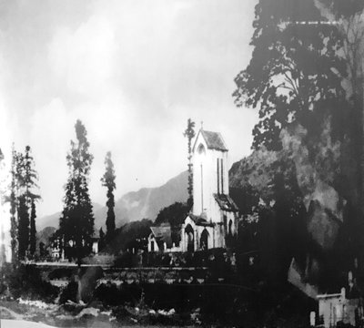
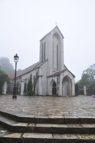
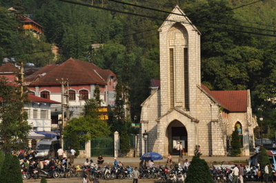
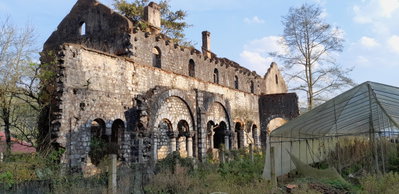
The resort was largely destroyed during the wars of the mid-20th century, first in the fighting against the French in the early 1950s and again during the border war with China in 1979, and most of the colonial villas were lost. Sa Pa remained a remote district town until Vietnam opened to tourism in the 1990s, after which it grew rapidly as a base for trekking and for visiting the minority villages and markets of the region. The stone church in the town centre is one of the few surviving French buildings.
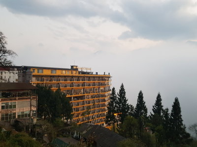
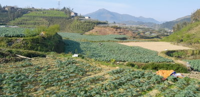
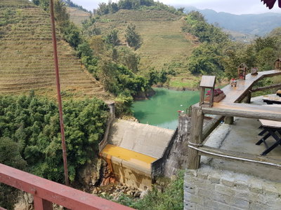
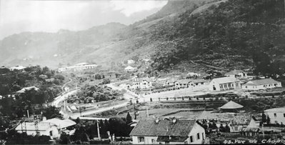
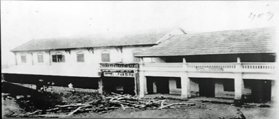
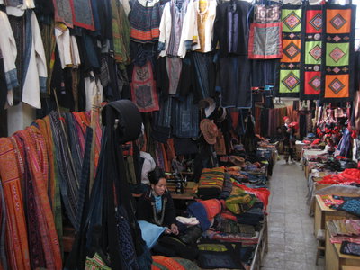
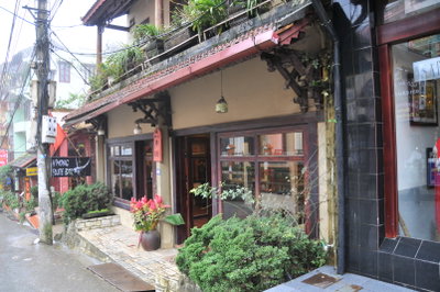
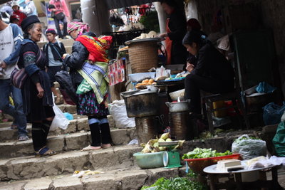
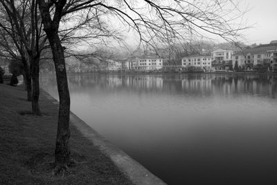
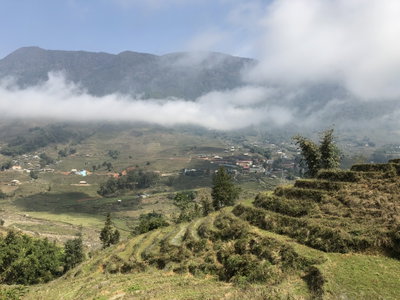
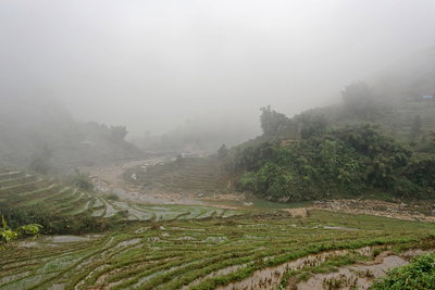
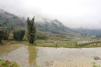
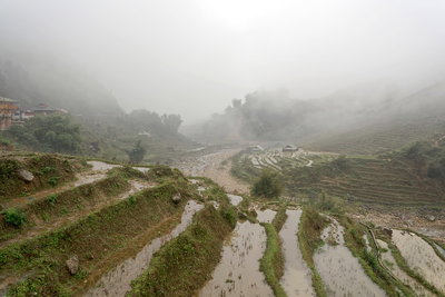
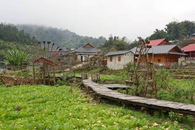
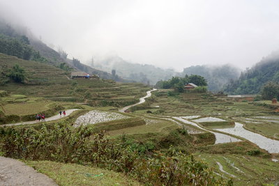
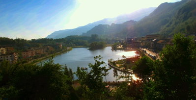
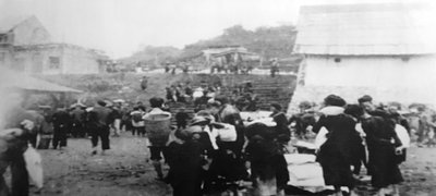
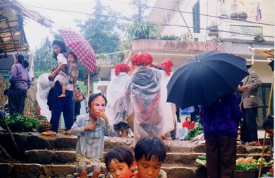
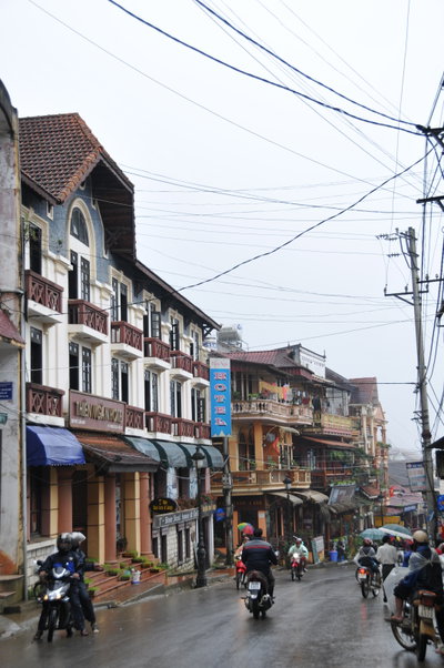
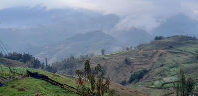
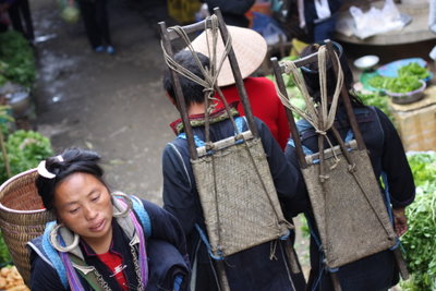
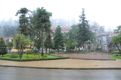
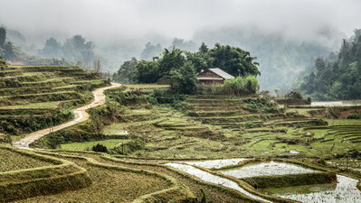
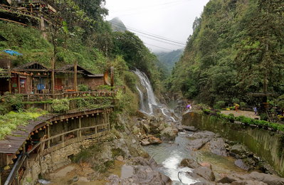
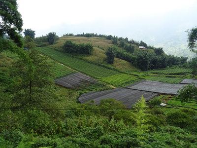
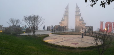
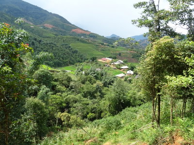
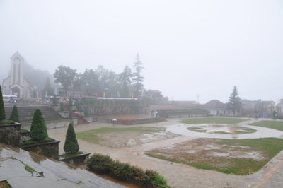
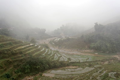
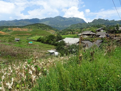
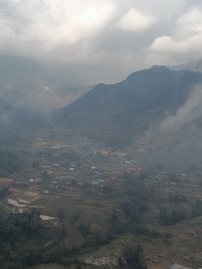
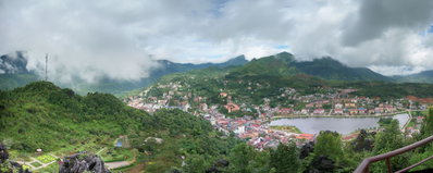
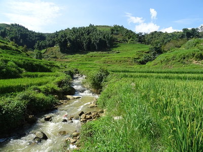
Old photographs of Sa Pa typically show the church and the colonial villas in mist, terraced hillsides, and Hmong and Dao villagers in traditional dress at the weekly market.
What the photos show
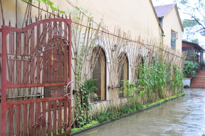
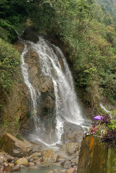
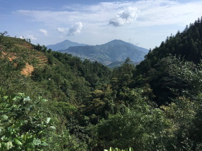
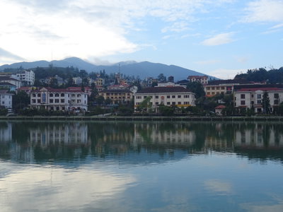
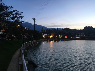
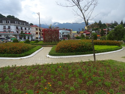
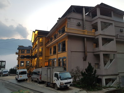
The 212 photographs of Sa Pa on PlaceWas span 8 decades, from 1919 to 2025. 6 of them were taken before 1980; the other 206 are recent views of the same streets and landmarks.40 spots were photographed more than once, so you can compare the same street, square or building across the years.212 of the photos carry a written caption explaining what is in the frame. Every picture is pinned to the place it was taken, so the map below shows where the photographers stood.
Places in Sa Pa through time
Spots photographed more than once — compare the same place across the years.
Stories from Sa Pa
What contributors wrote about these photographs.