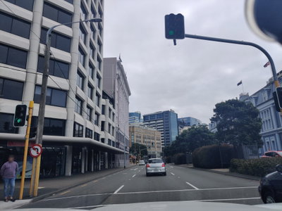
Old photos of Wellington
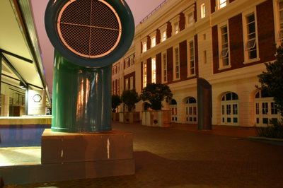
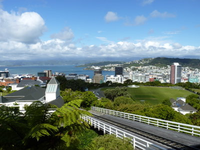
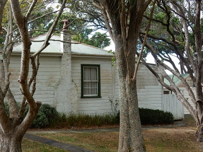
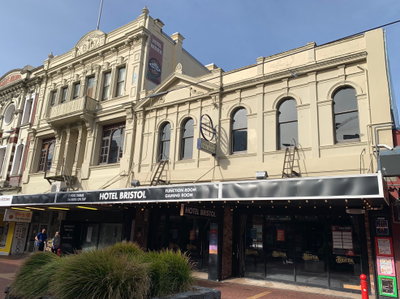
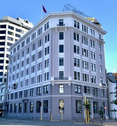
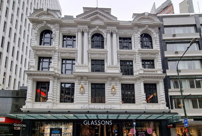
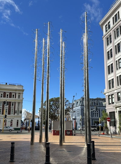
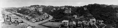
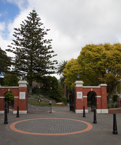
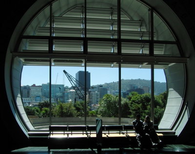
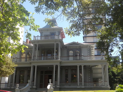
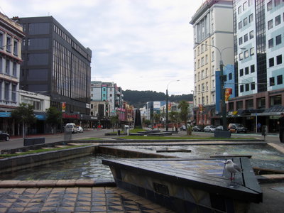
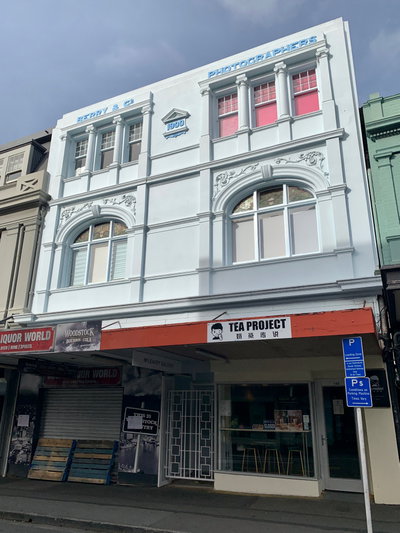
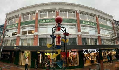
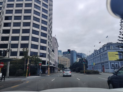
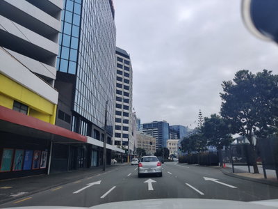
238 photographs of Wellington, from 1883 to 2025 — each pinned to the exact place it was taken.
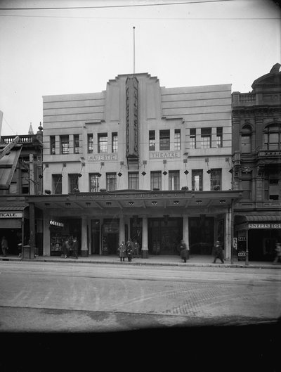
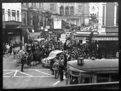
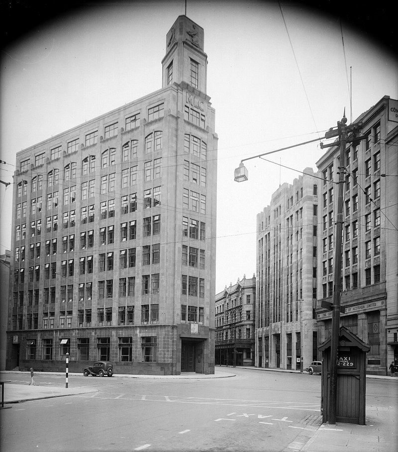 1935
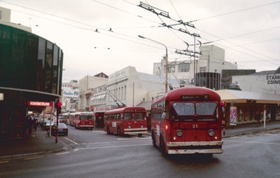
1935
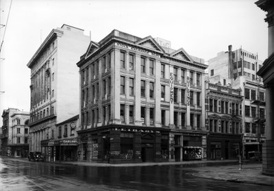
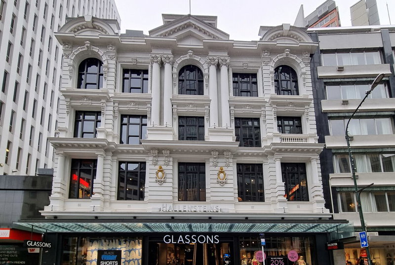 2022
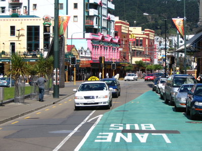
2022
Wellington, the capital of New Zealand, lies around a large natural harbour at the southern tip of the North Island. The harbour and its shores were settled by Maori, who knew it as Te Whanganui-a-Tara. The New Zealand Company landed its first settlers in 1840, and the town was named after the Duke of Wellington. A major earthquake in 1855 raised parts of the harbour bed, creating flat land on which much of the later city centre was built.
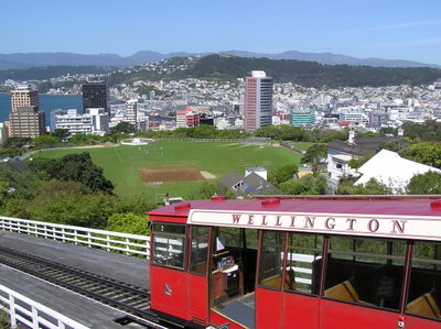
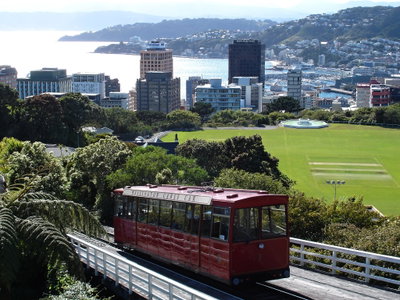
In 1865 the seat of government was moved from Auckland to Wellington because of its central position between the two main islands. The city grew steeply up the surrounding hills, with wooden houses connected to the centre by a cable car from the early 20th century. Its timber Government Buildings, completed in 1876, are among the largest wooden buildings in the world. Parliament, the harbour wharves, the railway station and the commercial streets of Lambton Quay form the historic core, though frequent rebuilding and earthquake strengthening have replaced many earlier structures.
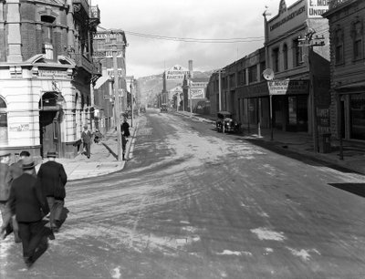
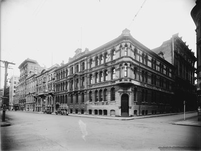
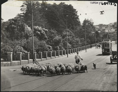
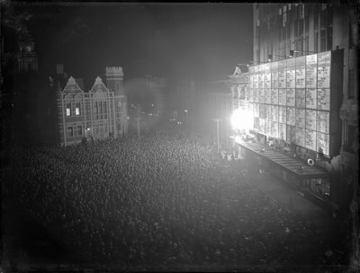
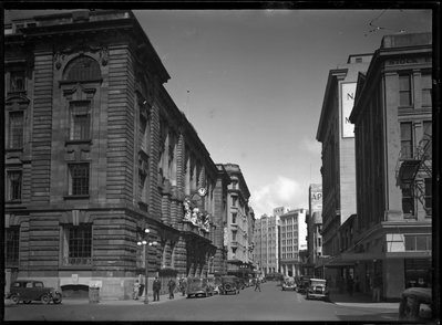
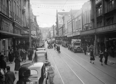
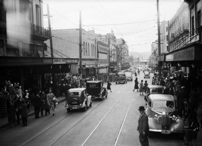
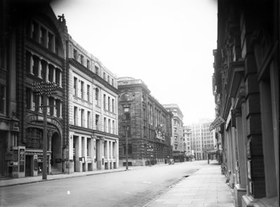
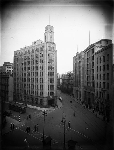
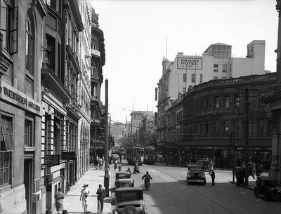
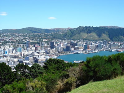
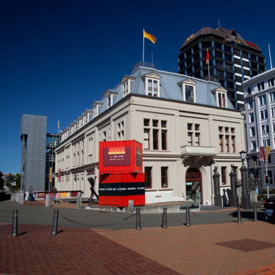
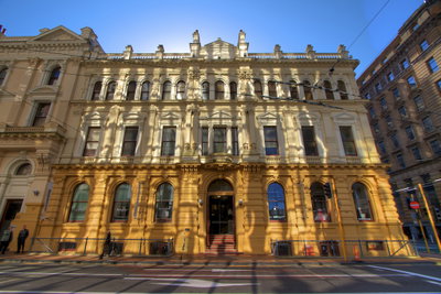
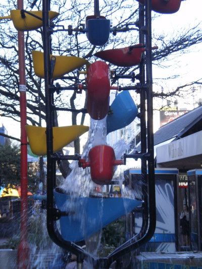
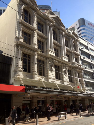
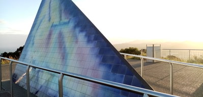
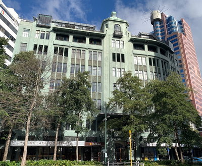
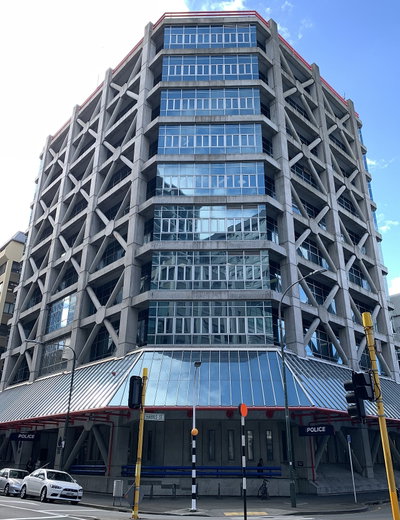
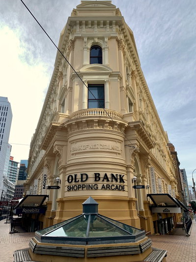
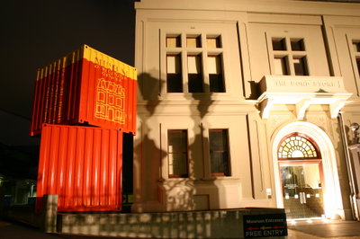
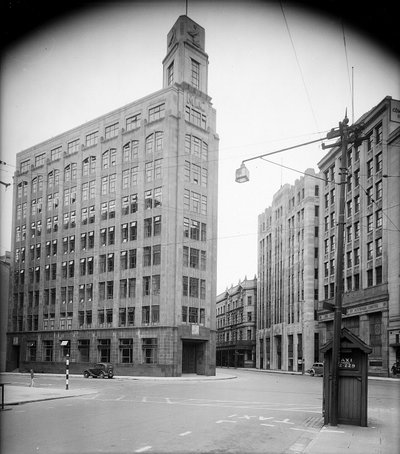
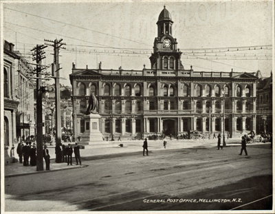
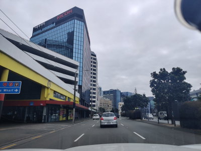
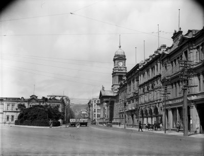
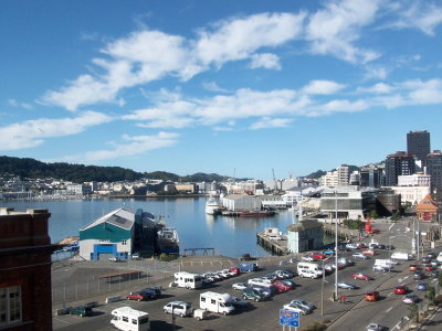
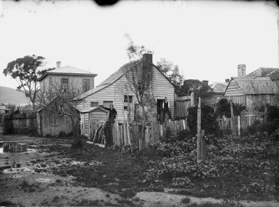
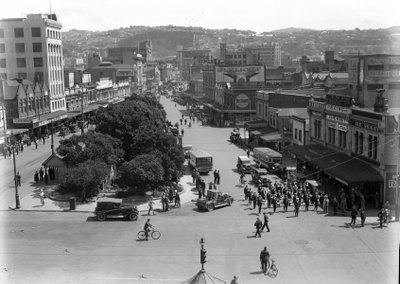
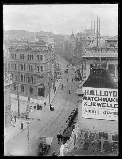
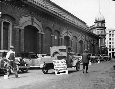
Old photographs of Wellington typically show ships at Queens Wharf, Lambton Quay and its trams, wooden villas on the hillsides, the cable car, Parliament and the harbour seen from Mount Victoria.
What the photos show
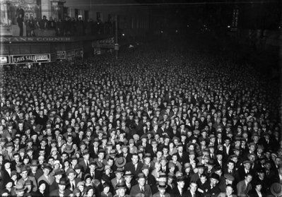
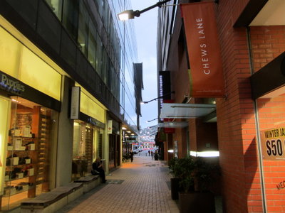
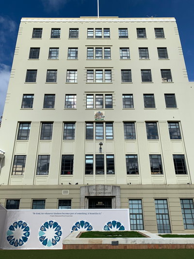
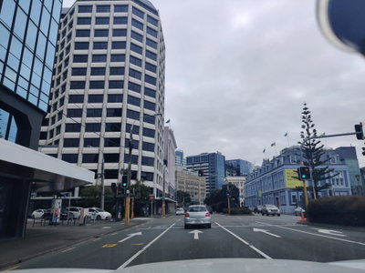
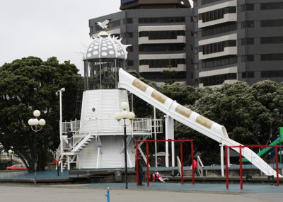
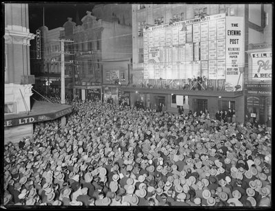
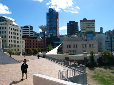
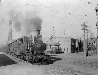
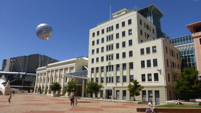
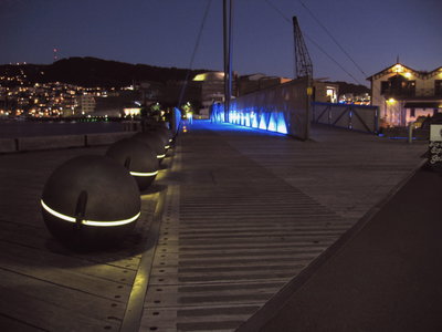
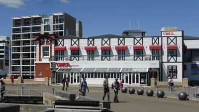
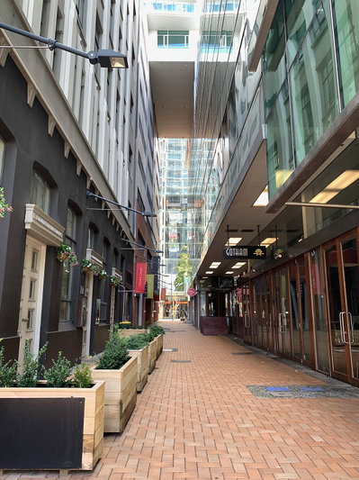
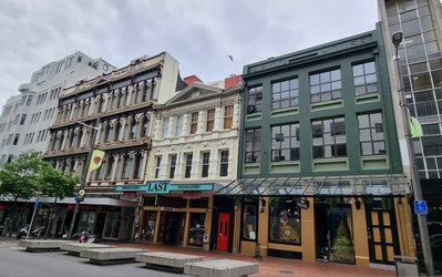
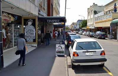
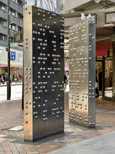
The 238 photographs of Wellington on PlaceWas span 10 decades, from 1883 to 2025. 25 of them were taken before 1980; the other 213 are recent views of the same streets and landmarks.36 spots were photographed more than once, so you can compare the same street, square or building across the years.238 of the photos carry a written caption explaining what is in the frame. Every picture is pinned to the place it was taken, so the map below shows where the photographers stood.
Places in Wellington through time
Spots photographed more than once — compare the same place across the years.
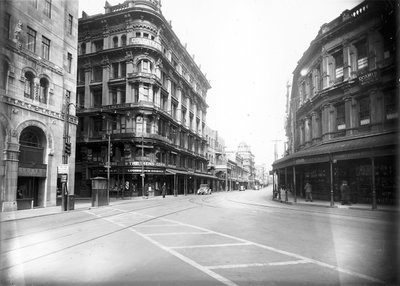


Stories from Wellington
What contributors wrote about these photographs.