Home › Wellington › Harbour Gate

Harbour Gate through time

Wellington 2005–2021 16 photos of this spot

16 recent photographs taken at the same spot in Wellington, spanning 2005–2021. Have an older picture of it? Add it and start this spot's timeline.

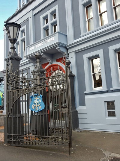
Wellington's Old Bond Store, built for customs storage near the waterfront, is one of the city's surviving nineteenth-century commercial buildings. The 2005 photograph shows the structure as it stands today amid the redeveloped harbour area.

See this spot on the map
Have an old photo of Harbour Gate? A family album, a postcard, a print from the attic. Pin it to the map and it becomes part of the record.
Add your photo
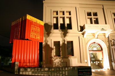
Old Bond Store buildings, Wellington, 2005
Old Bond Store buildings 2005 Wellington's Old Bond Store, built for customs storage near the waterfront, is one of the city's surviving nineteenth-century commercial buildings. The 2005 photograph shows the structure as it stands today amid the redeveloped harbour area.
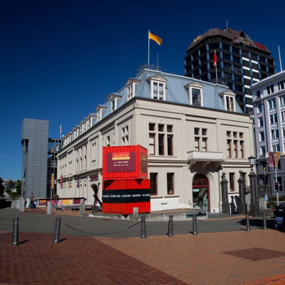
Museum of Wellington, Wellington, 2010
Museum of Wellington 2010 The Museum of Wellington, photographed in 2010, documenting the maritime and civic history of New Zealand's capital. It sits among the historic buildings of the city's waterfront district.
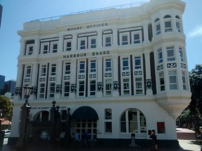
Harbour Board Wharf Office Building 3, Wellington, 2014
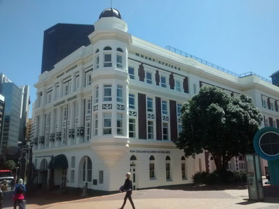
Harbour Board Wharf Office Building 3 2014 One of the former Wellington Harbour Board's wharf office buildings on the city's waterfront, photographed in 2014. The harbour board once managed the port facilities that were central to Wellington's development as a trading city.
Harbour Board Wharf Office Building 1, Wellington, 2014
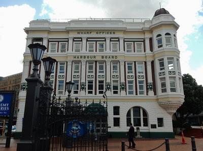
Harbour Board Wharf Office Building 1 2014 A former Wellington Harbour Board wharf office building on the city waterfront, photographed in 2014. Several of these early 20th-century harbour buildings have since been repurposed as the waterfront was redeveloped for public use.
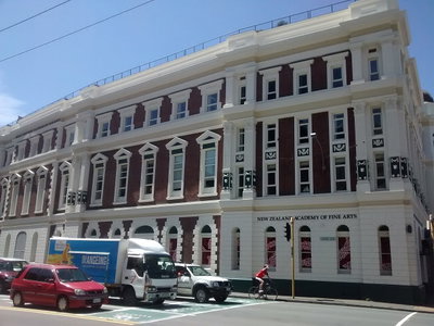
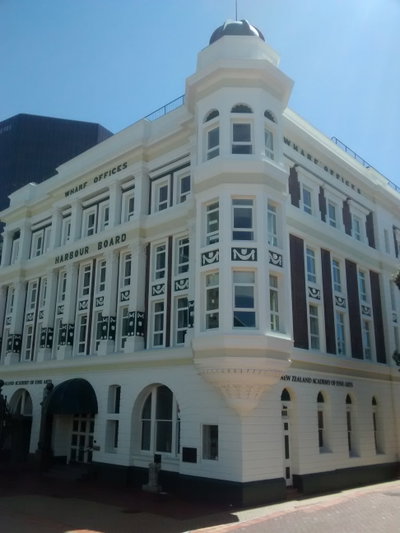
Harbour Board Wharf Office Building, Wellington, 2014
Harbour Board Wharf Office Building 2014 The Harbour Board Wharf Office Building in Wellington, New Zealand is pictured in 2014. The structure dates to the era when the Wellington Harbour Board administered the city's working waterfront.
Harbour Board Wharf Office Building 2, Wellington, 2014
Harbour Board Wharf Office Building 2 2014 A further 2014 view of the Harbour Board Wharf Office Building in Wellington shows the historic administrative structure tied to the city's harbor operations.
Harbour Gate, Wellington, 2016
Harbour Gate 2016 This 2016 photograph shows a building near Wellington Harbour, the natural harbor around which New Zealand's capital city and its hillside suburbs are built.
Gates and Grand, Wellington, 2016
Gates and Grand 2016 This 2016 photograph shows an entrance gate in Wellington, New Zealand, the country's capital city on the North Island.
Mapillary (1128734067627672, t5nqc5gmmyurknlocmdu5j) (elphix), Wellington, 2021
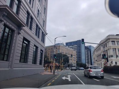
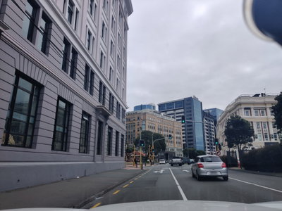
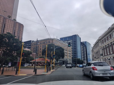
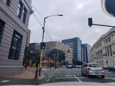
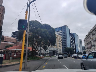
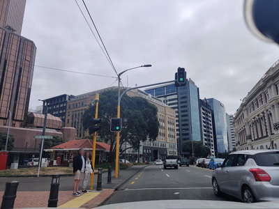
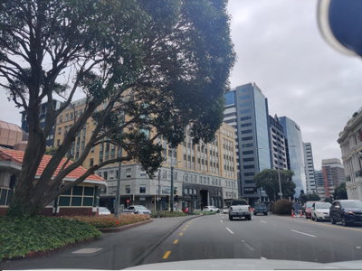
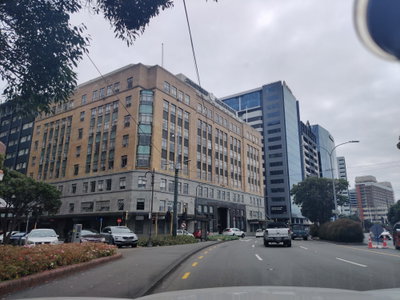
Mapillary (1128734067627672, t5nqc5gmmyurknlocmdu5j) (elphix) 2021 Traffic moves through a central Wellington intersection lined with early 20th-century commercial buildings and modern office towers, photographed from a passing vehicle in 2021.
Mapillary (840144783251354, t5nqc5gmmyurknlocmdu5j) (elphix), Wellington, 2021
Mapillary (840144783251354, t5nqc5gmmyurknlocmdu5j) (elphix) 2021 Part of a series of Mapillary street captures from Wellington, New Zealand, this image was submitted by contributor elphix on 20 March 2021.
Mapillary (298240548496291, t5nqc5gmmyurknlocmdu5j) (elphix), Wellington, 2021
Mapillary (298240548496291, t5nqc5gmmyurknlocmdu5j) (elphix) 2021 A crowdsourced street view of Wellington, New Zealand, logged on 20 March 2021 by Mapillary contributor elphix.
Mapillary (917684645676354, t5nqc5gmmyurknlocmdu5j) (elphix), Wellington, 2021
Mapillary (917684645676354, t5nqc5gmmyurknlocmdu5j) (elphix) 2021 Mapillary contributor elphix recorded this view of a Wellington, New Zealand street on 20 March 2021.
Mapillary (511609900025272, t5nqc5gmmyurknlocmdu5j) (elphix), Wellington, 2021
Mapillary (511609900025272, t5nqc5gmmyurknlocmdu5j) (elphix) 2021 20 March 2021: Mapillary contributor elphix photographed this street in Wellington, New Zealand, contributing to the platform's open map coverage.
Mapillary (817812092170823, t5nqc5gmmyurknlocmdu5j) (elphix), Wellington, 2021
Mapillary (817812092170823, t5nqc5gmmyurknlocmdu5j) (elphix) 2021 New Zealand's capital, Wellington, is pictured here in a Mapillary street capture from 20 March 2021 by contributor elphix.
Mapillary (349276573468505, t5nqc5gmmyurknlocmdu5j) (elphix), Wellington, 2021
Mapillary (349276573468505, t5nqc5gmmyurknlocmdu5j) (elphix) 2021 Contributor elphix's Mapillary archive includes this Wellington, New Zealand street image, dated 20 March 2021.
Mapillary (845776606019989, t5nqc5gmmyurknlocmdu5j) (elphix), Wellington, 2021
Mapillary (845776606019989, t5nqc5gmmyurknlocmdu5j) (elphix) 2021 Documented on 20 March 2021, this Wellington, New Zealand street scene was submitted to Mapillary by contributor elphix.