Old photos of Marrakech
263 photographs of Marrakech, from 1925 to 2025 — each pinned to the exact place it was taken.
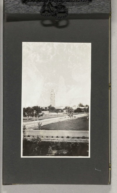
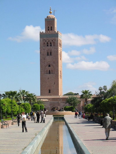
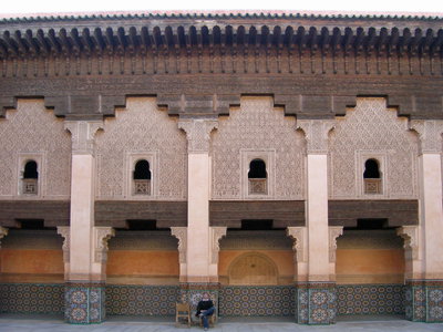
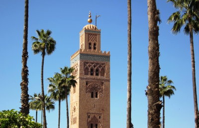
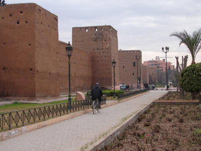
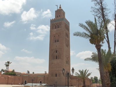
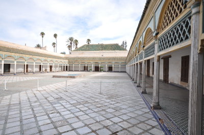
Marrakech was founded around 1070 by the Almoravid dynasty as the capital of an empire that stretched from West Africa to Spain. Its red earth walls, its irrigation channels and the layout of the medina date from this period. The Almohads who followed in the 12th century built the Koutoubia mosque, whose minaret became the model for the towers of Seville and Rabat. After centuries of decline under the Marinids, who ruled from Fez, Marrakech became the capital again under the Saadian dynasty in the 16th century, when the El Badi palace and the Saadian tombs were built.
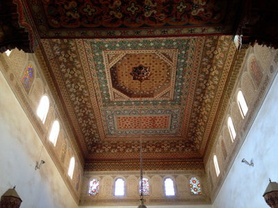
The city gave its name to Morocco. It remained a royal capital alternating with Fez, and in the 19th century the Bahia palace was built for a powerful vizier. Under the French protectorate from 1912 the medina was left largely intact while a modern European quarter, Gueliz, was laid out to the west. The medina, with the Jemaa el-Fna square at its heart, was inscribed as a UNESCO World Heritage site in 1985.
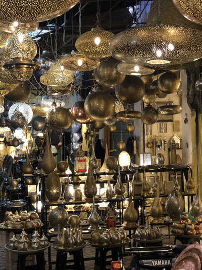
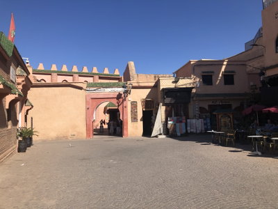
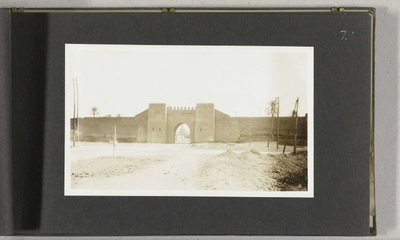
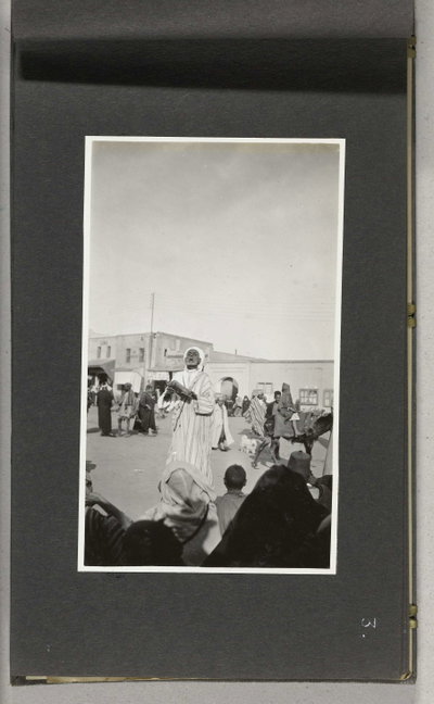
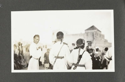
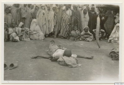
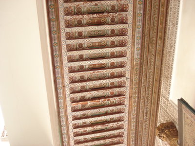
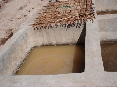
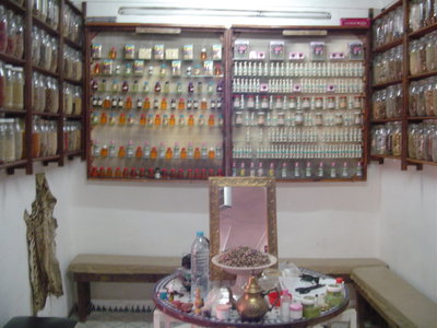
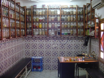
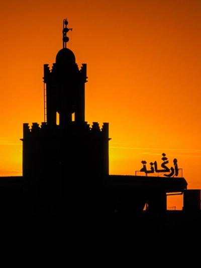
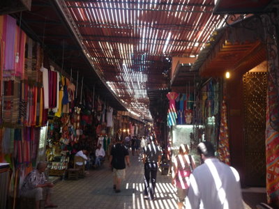
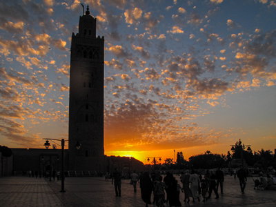
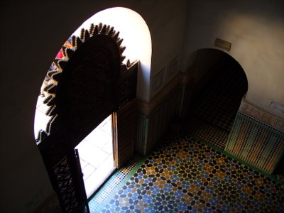
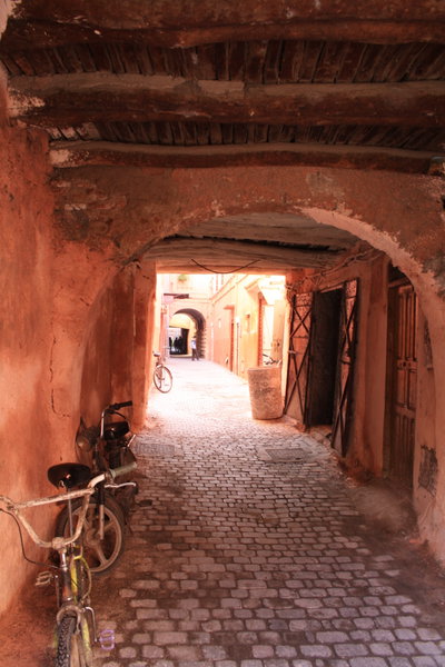
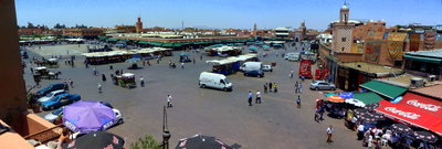
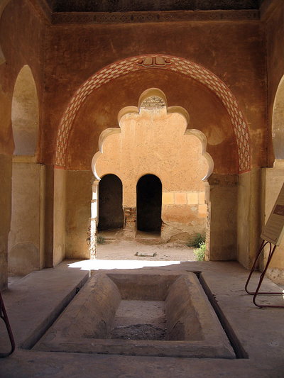
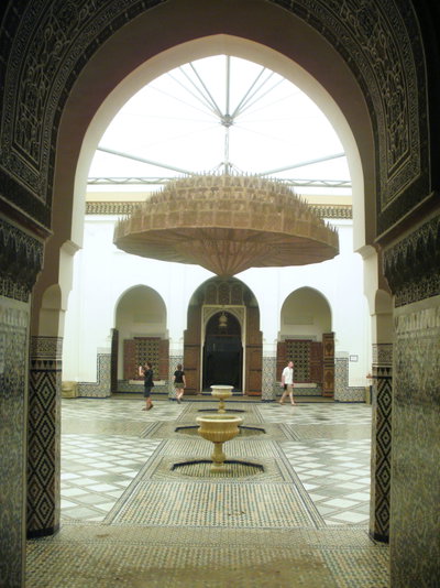
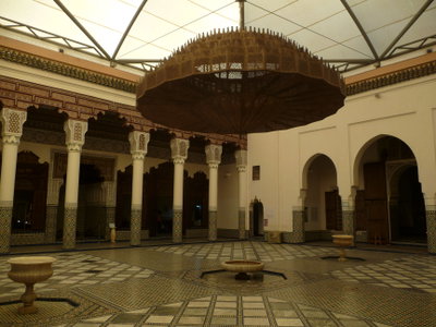
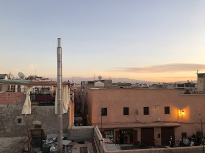
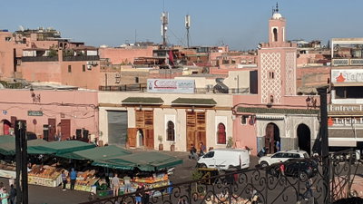
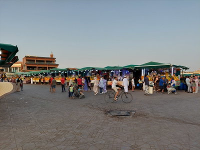
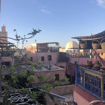
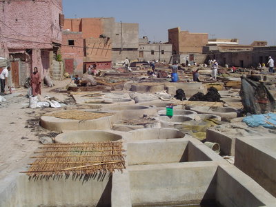
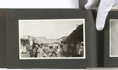
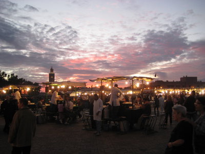
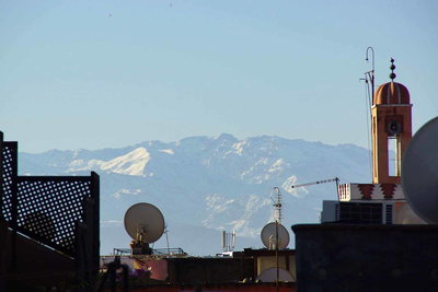
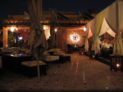
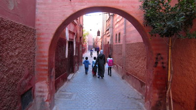
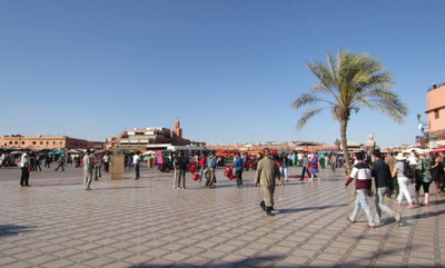
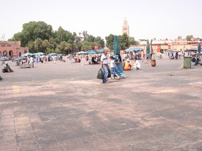
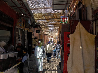
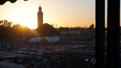
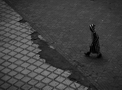
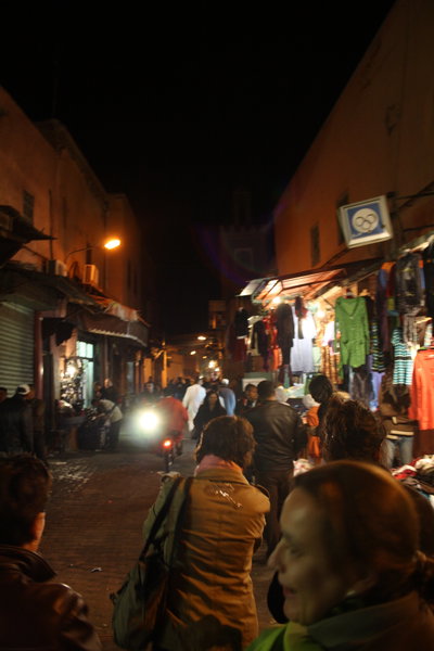
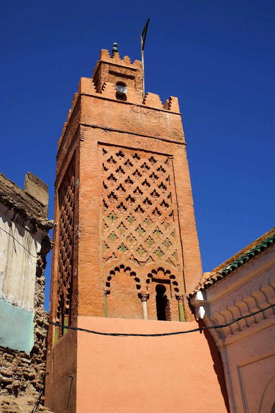
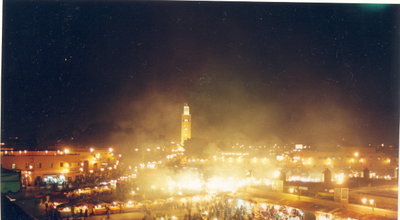
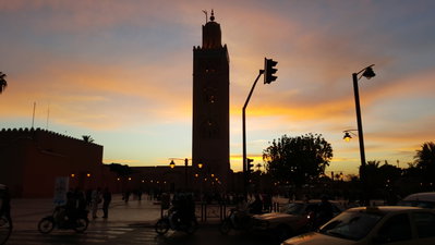
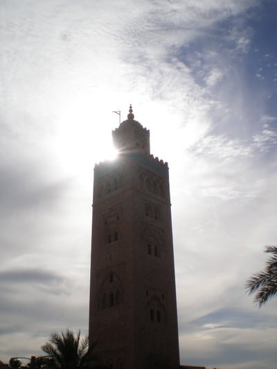
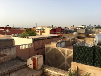
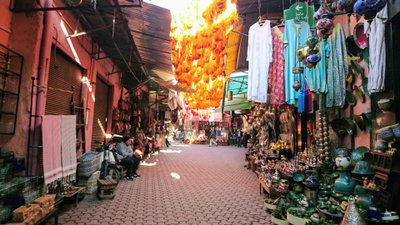
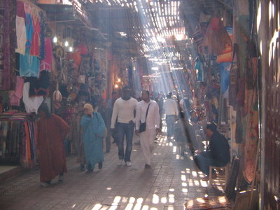
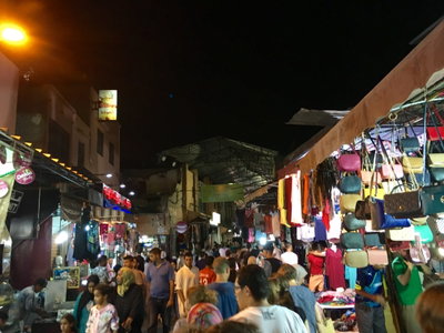
Old photographs of Marrakech typically show the Koutoubia minaret above the palm groves, storytellers and traders on Jemaa el-Fna, the city gates and ramparts, the souks and the snow-capped Atlas mountains beyond.
What the photos show
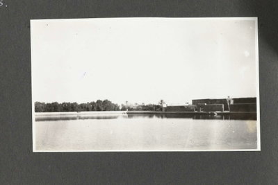
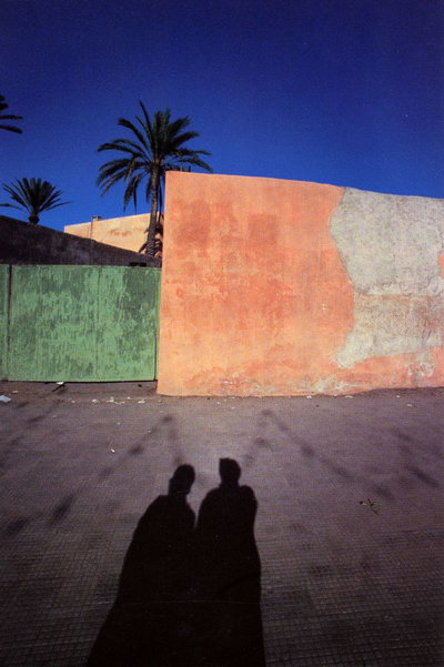
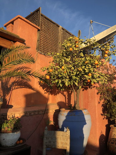
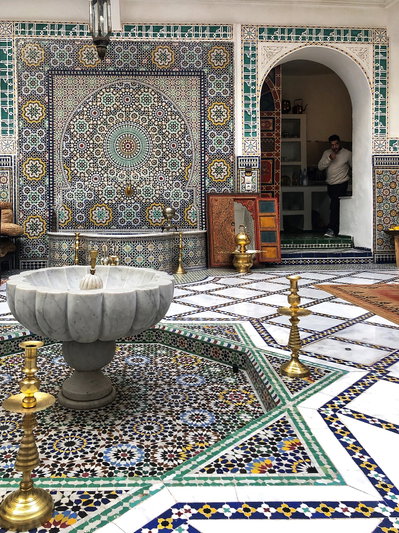
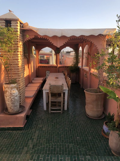
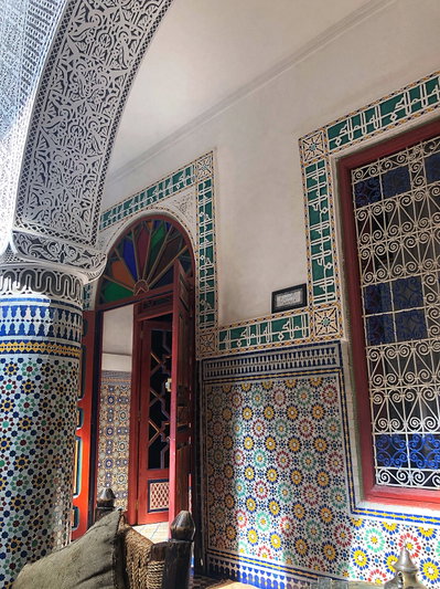
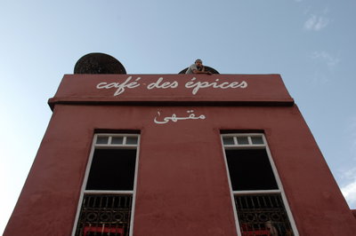
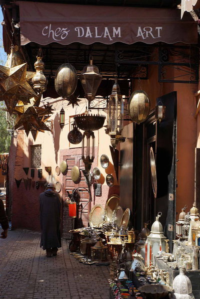
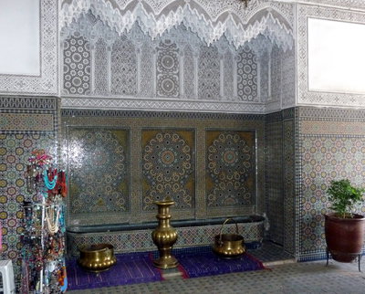
The 263 photographs of Marrakech on PlaceWas span 5 decades, from 1925 to 2025. 8 of them were taken before 1980; the other 255 are recent views of the same streets and landmarks.35 spots were photographed more than once, so you can compare the same street, square or building across the years.262 of the photos carry a written caption explaining what is in the frame. Every picture is pinned to the place it was taken, so the map below shows where the photographers stood.
Places in Marrakech through time
Spots photographed more than once — compare the same place across the years.
Stories from Marrakech
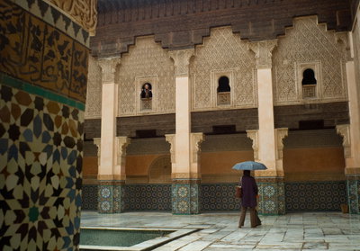
What contributors wrote about these photographs.