Home › Sa Pa › 2005
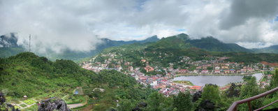
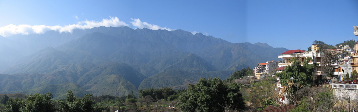
Sapa Panorama, Sa Pa, Vietnam, 2005

Sapa Panorama

2005 Sa Pa, Vietnam

A panoramic view of Sa Pa, a hill town in Vietnam's Lào Cai Province near the Chinese border, photographed in 2005. The area is known for its terraced rice fields and mountain scenery in the Hoàng Liên Son range.

See this spot on the map
Have an old photo of Sa Pa? A family album, a postcard, a print from the attic. Pin it to the map and it becomes part of the record.
Add your photo

Sapa Panorama through time — all 16 photos taken here (1919–2025) →
More from Sa Pa

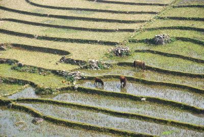
Terras rijstvelden in Sa Pa, -13 november 2006 a, Sa Pa, 2006
Terras rijstvelden in Sa Pa, -13 november 2006 a 2006
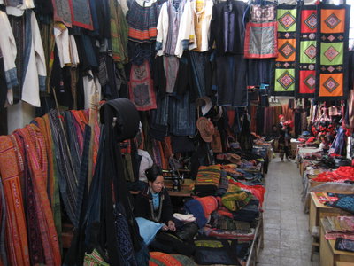
Sapa, market, Sa Pa, 2007
Sapa, market 2007
Rice ploughing, Sa Pa, 2008
Rice ploughing 2008
Sapa vu du mont Ham Rong, Sa Pa, 2009
Sapa vu du mont Ham Rong 2009
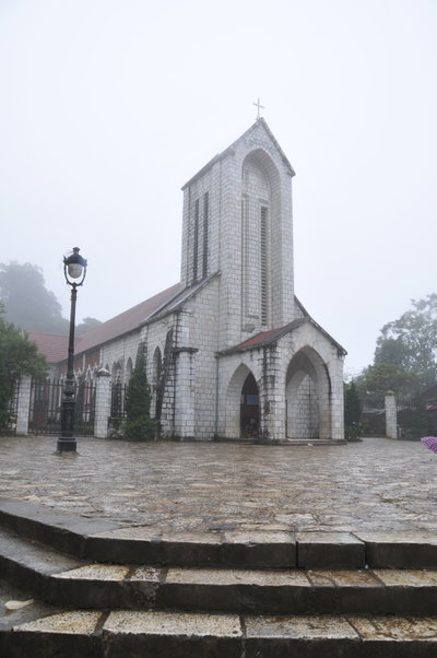
Nhà thờ đá Sapa, Sa Pa, 2010
Nhà thờ đá Sapa 2010
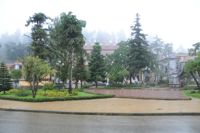
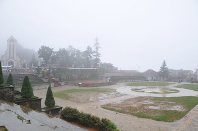
Công viên Sapa, Sa Pa, 2010
Công viên Sapa 2010
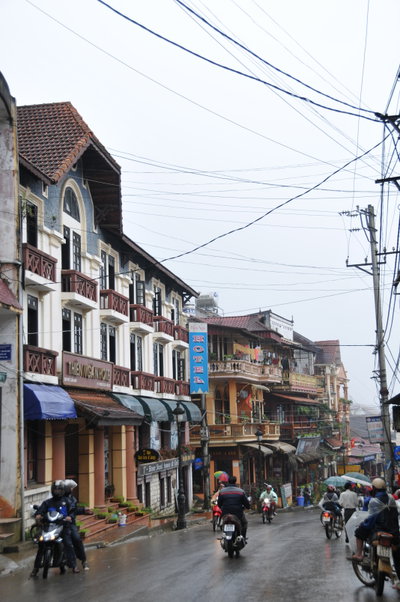
Phố Sapa, Sa Pa, 2010
Phố Sapa 2010
Rạp hát lộ thiên Sapa, Sa Pa, 2010
Rạp hát lộ thiên Sapa 2010