Old photos of Hanoi
548 photographs of Hanoi, from 1883 to 2025 — each pinned to the exact place it was taken.
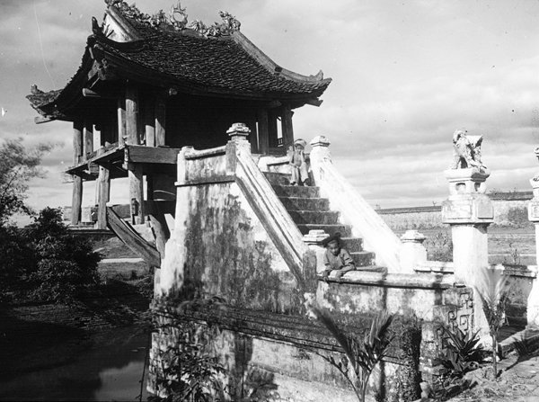 1896
1896
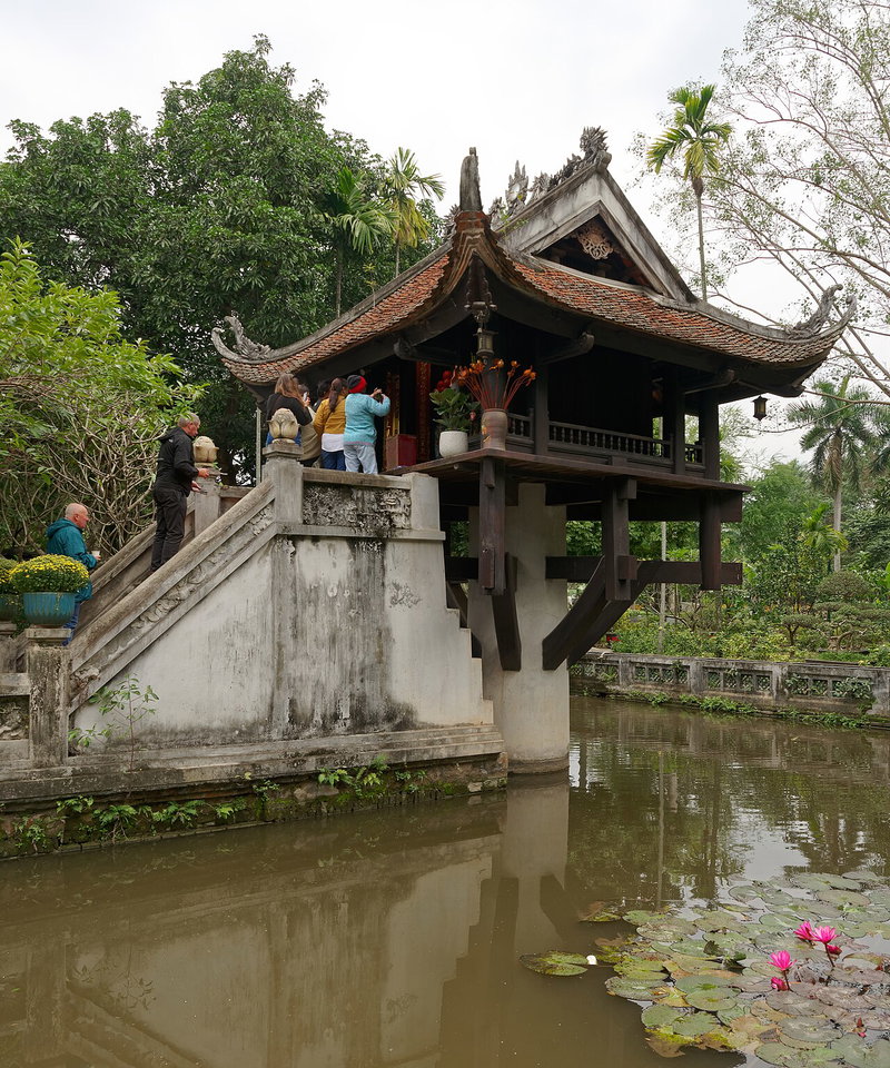 2024
2024
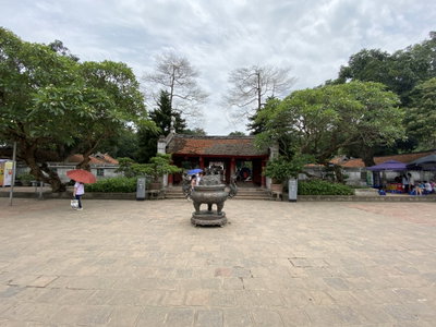
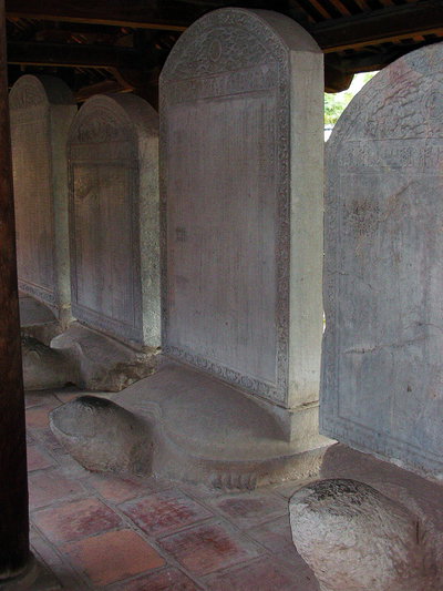
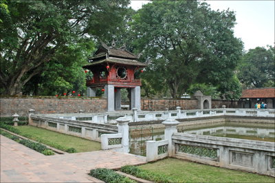
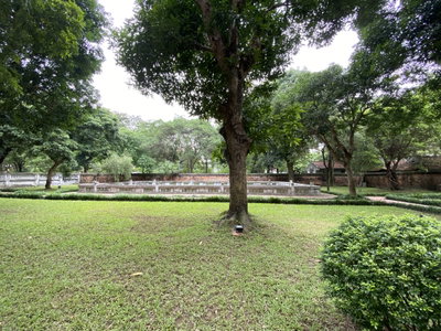
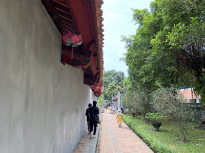
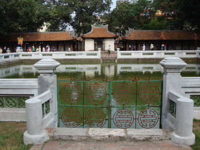
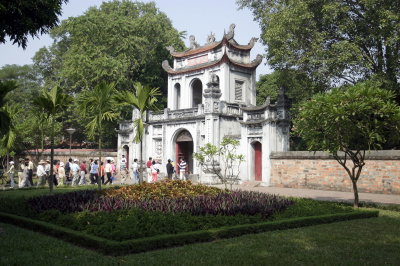
Hanoi, the capital of Vietnam, lies on the right bank of the Red River. In 1010 the emperor Ly Thai To moved his capital here and named it Thang Long, the rising dragon; the imperial citadel he founded remained the political centre of the country for most of the following eight centuries. The Temple of Literature, founded in the 11th century, trained the mandarins of the Confucian state. In the early 19th century the Nguyen dynasty moved the capital to Hue, and the city was renamed Ha Noi, meaning within the rivers, in 1831.
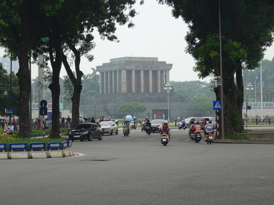
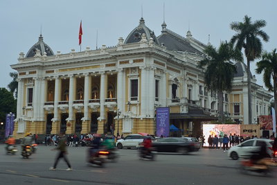
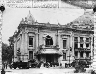
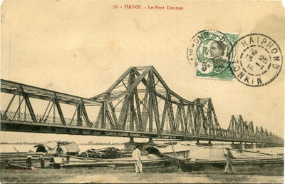
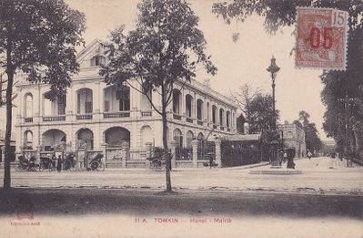
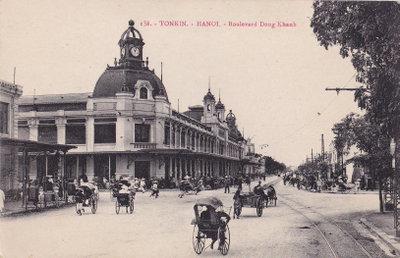
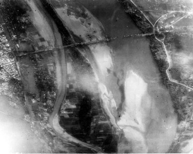
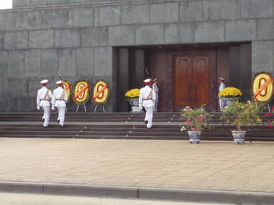
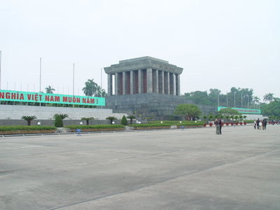
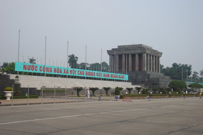
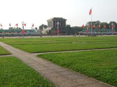
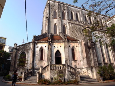
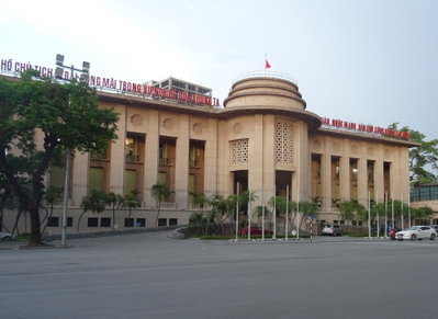
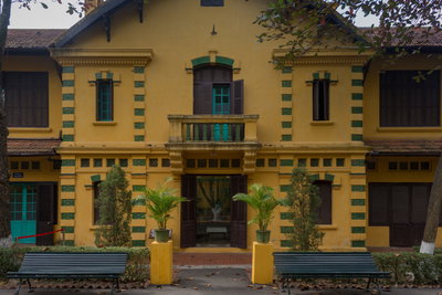
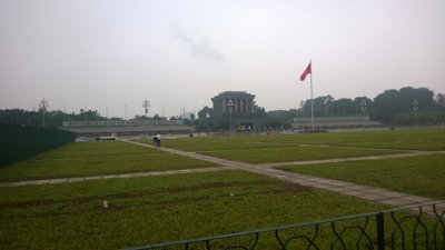
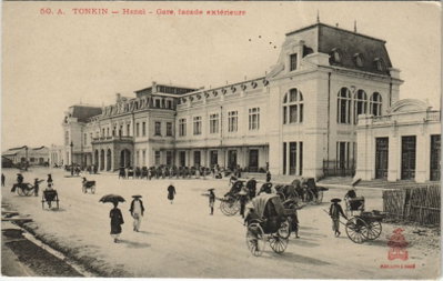
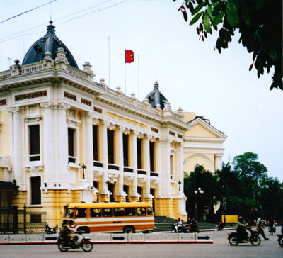
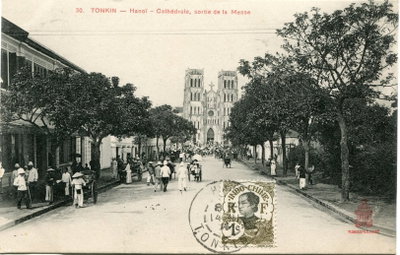
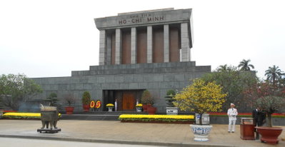
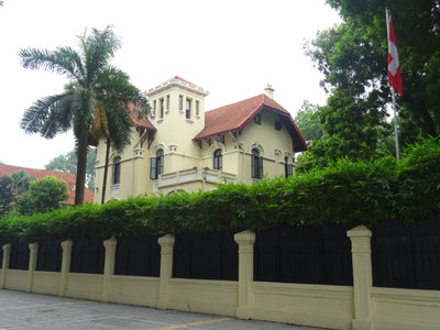
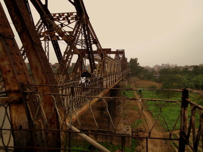
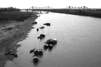
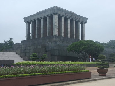
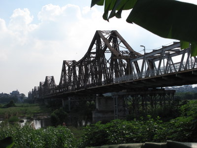
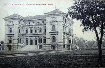
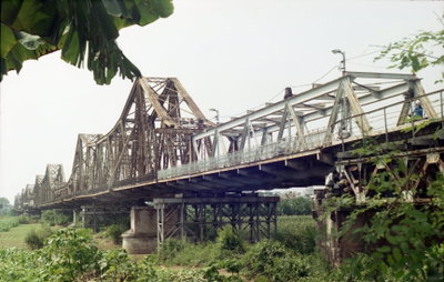
The French occupied Hanoi in the 1880s and made it the capital of French Indochina in 1902. They demolished much of the citadel and built a European quarter of boulevards, villas, the Opera House, the cathedral and the Long Bien bridge across the Red River, while the Old Quarter of thirty-six guild streets kept its dense pattern of narrow tube houses. Ho Chi Minh proclaimed the independence of Vietnam in Ba Dinh Square in 1945, and Hanoi became the capital of North Vietnam in 1954 and of the reunified country in 1976.
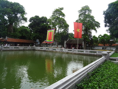
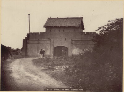
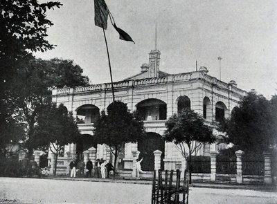
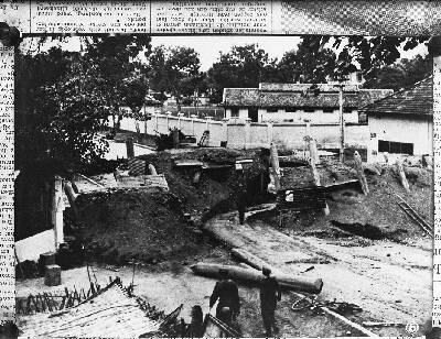
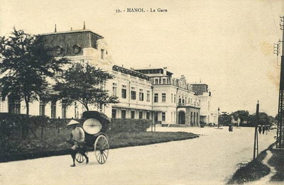
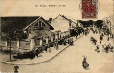
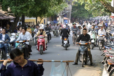
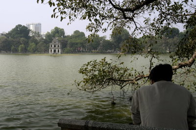
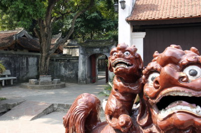
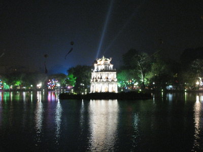
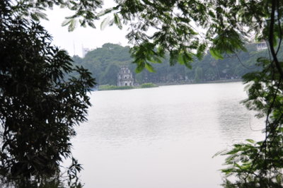
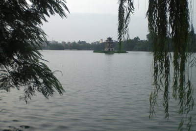
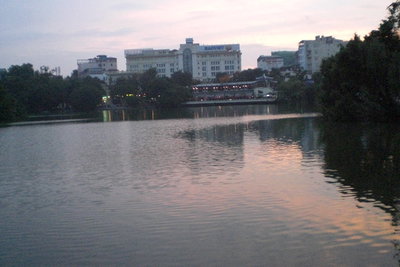
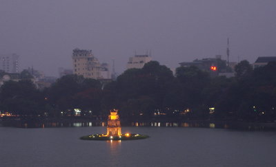
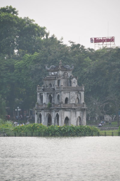
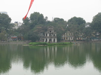
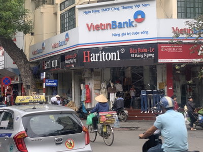
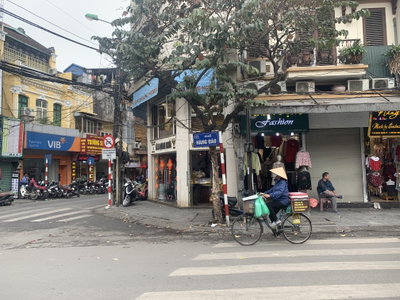
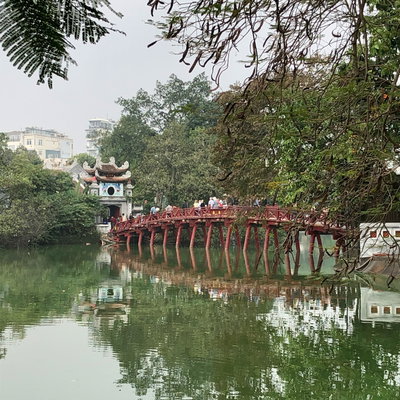
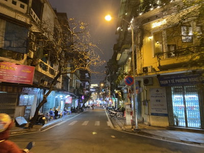
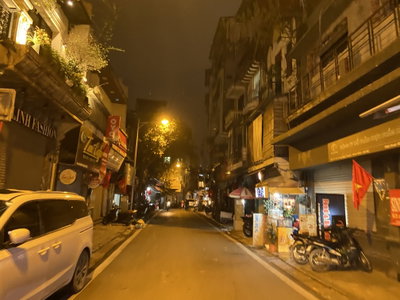
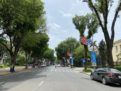
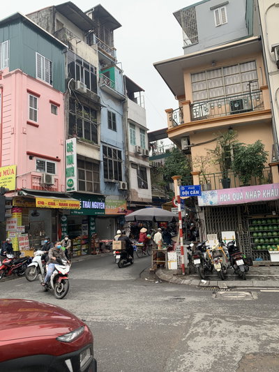
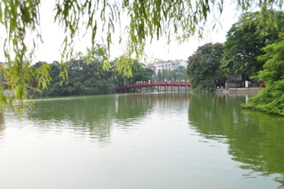
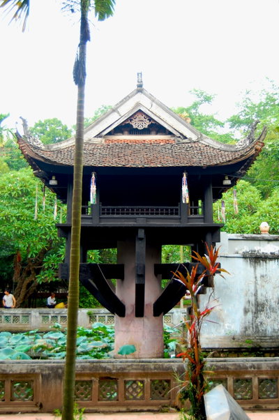
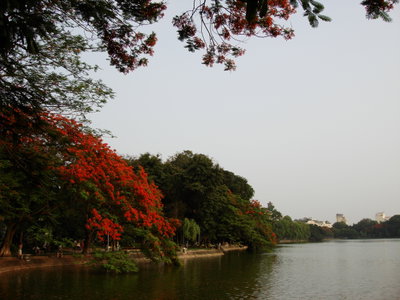
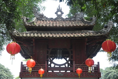
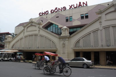
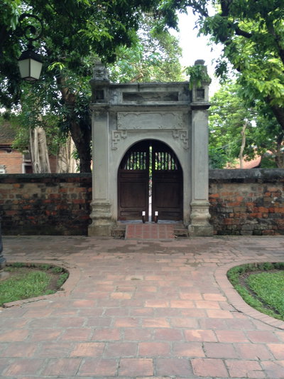
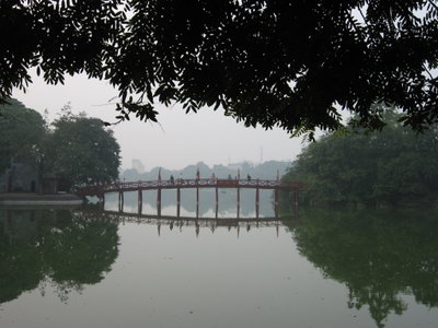
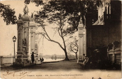
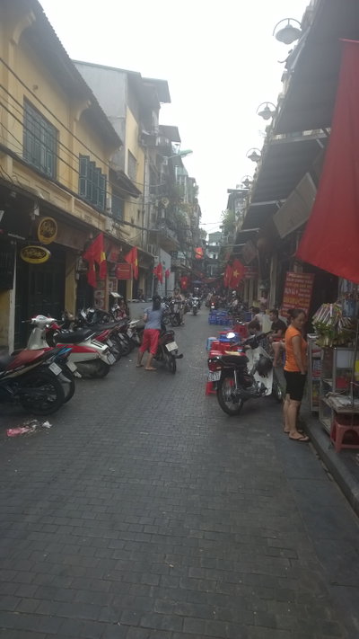
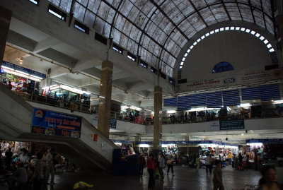
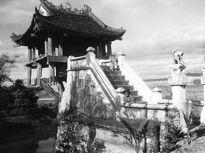
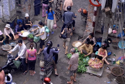
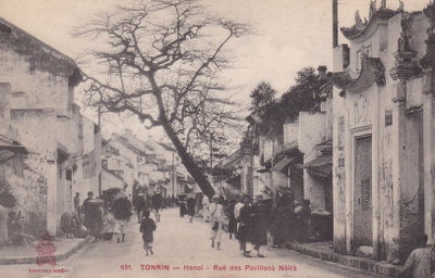
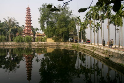
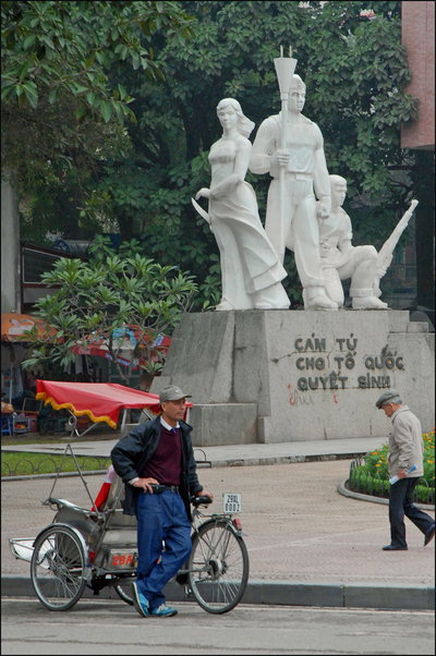
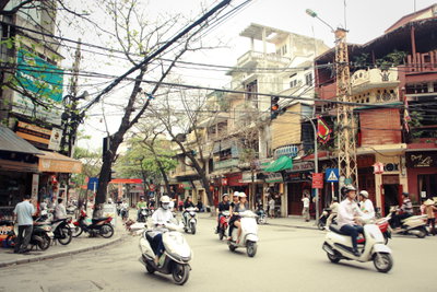
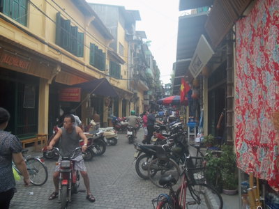
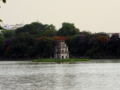
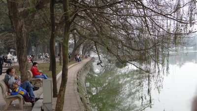
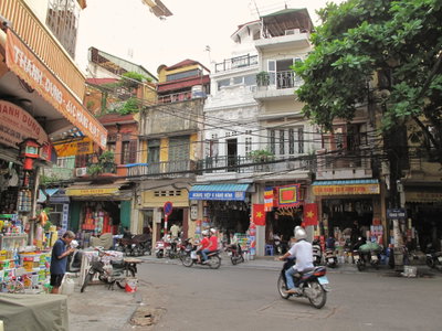
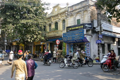
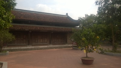
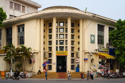
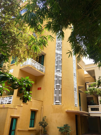
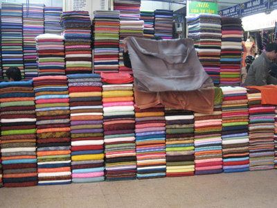
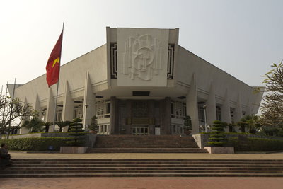
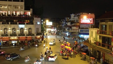
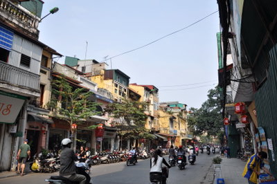
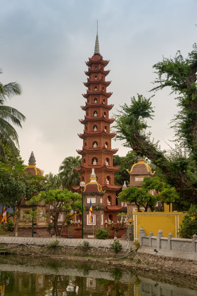
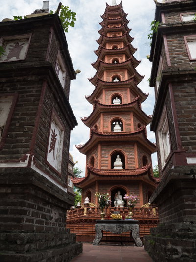
Old photographs of Hanoi typically show Hoan Kiem lake and its pagoda, the guild streets of the Old Quarter, French colonial buildings, tramways, the Long Bien bridge, and street vendors and markets.
What the photos show
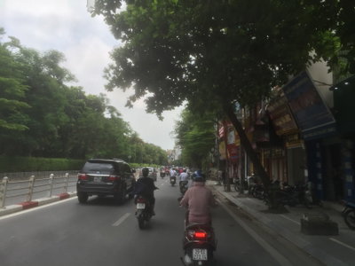
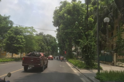
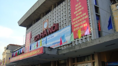
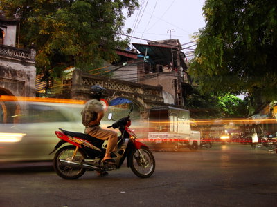
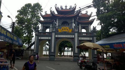
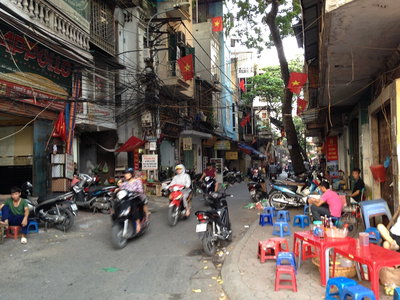
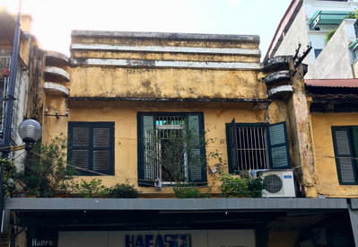
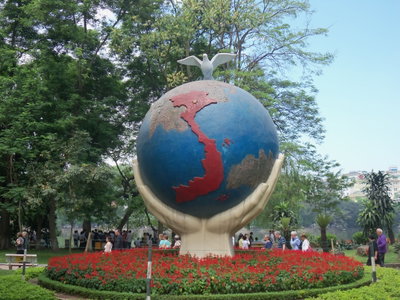
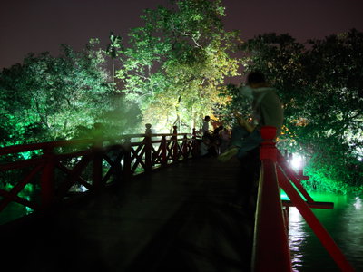
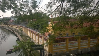
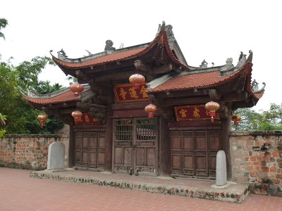
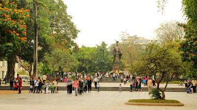
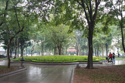
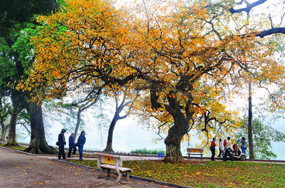
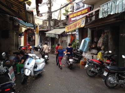
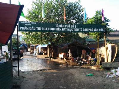
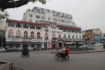
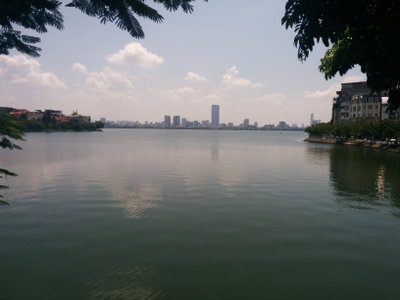
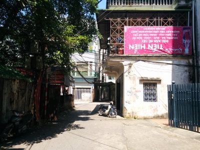
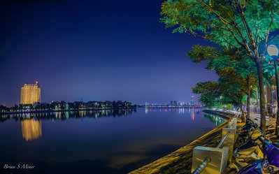
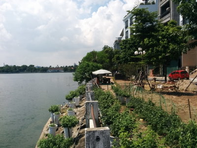
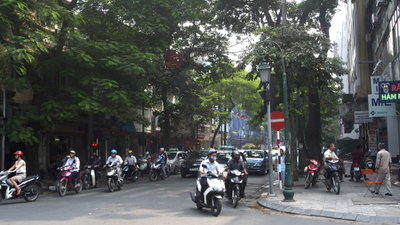
The 548 photographs of Hanoi on PlaceWas span 11 decades, from 1883 to 2025. 21 of them were taken before 1980; the other 527 are recent views of the same streets and landmarks.77 spots were photographed more than once, so you can compare the same street, square or building across the years.548 of the photos carry a written caption explaining what is in the frame. Every picture is pinned to the place it was taken, so the map below shows where the photographers stood.
Places in Hanoi through time
Spots photographed more than once — compare the same place across the years.
Stories from Hanoi
What contributors wrote about these photographs.