Old photos of Accra
329 photographs of Accra, from 1870 to 2025 — each pinned to the exact place it was taken.
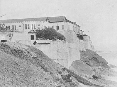
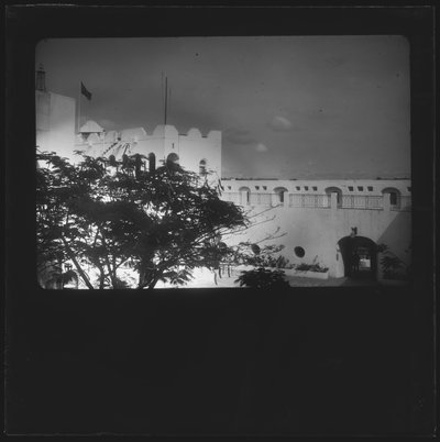
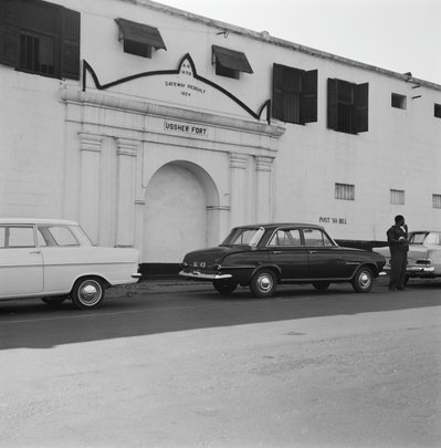
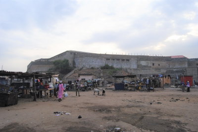
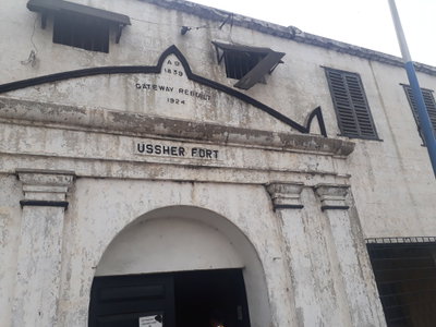
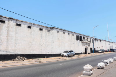
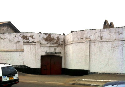
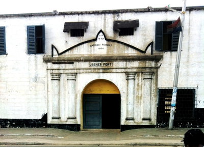
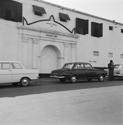
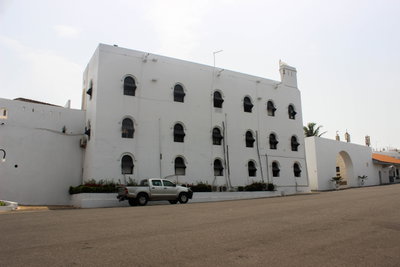
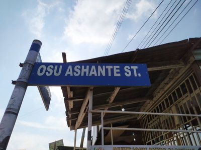
Accra, the capital of Ghana, grew from settlements of the Ga people on the Gulf of Guinea coast. From the 17th century European trading companies built forts along its shore: the Dutch at Ussher Fort, the Danes at Christiansborg Castle in Osu and the British at James Fort. The forts traded in gold and, for a long period, in enslaved people. In the 19th century the British gradually bought out the other powers, and in 1877 Accra replaced Cape Coast as the capital of the Gold Coast colony.
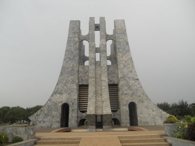
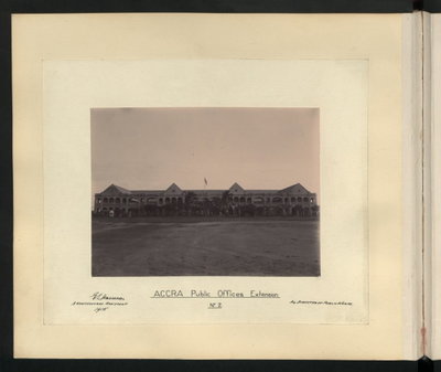
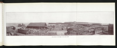
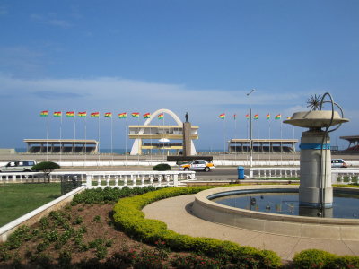
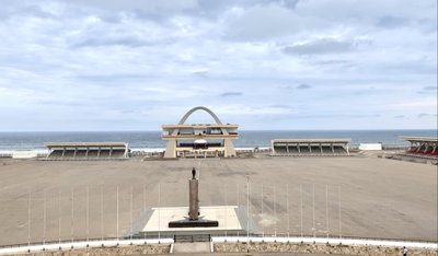
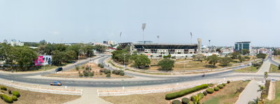
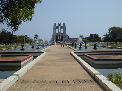
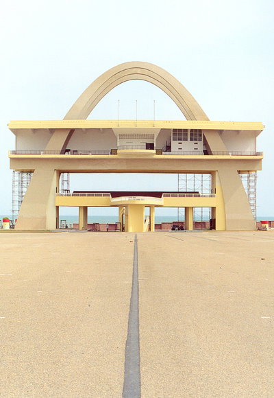
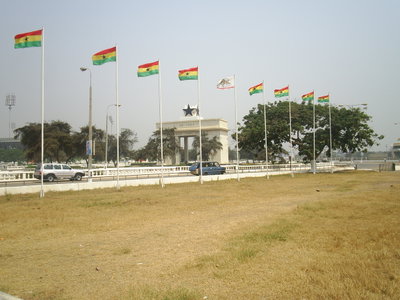
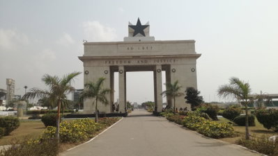
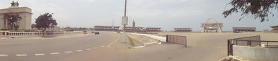
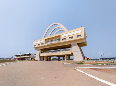
Under colonial rule the town expanded from the old quarters of Jamestown and Usshertown with new administrative districts, a railway to the interior and a harbour. A severe earthquake in 1939 destroyed many buildings. After the Second World War Accra was the centre of the independence movement led by Kwame Nkrumah, and it was here on 6 March 1957 that Ghana became the first sub-Saharan African colony to gain independence. Independence Square, the national museum and other landmarks of the new state were built in the years that followed.
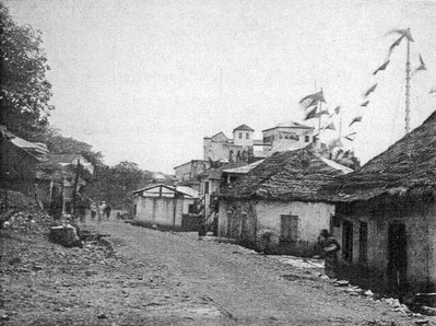
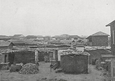
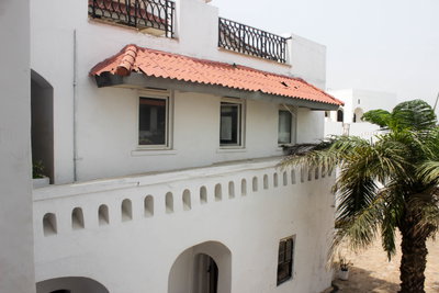
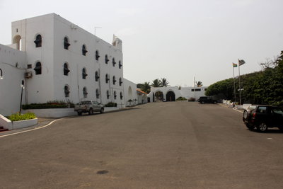
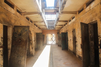
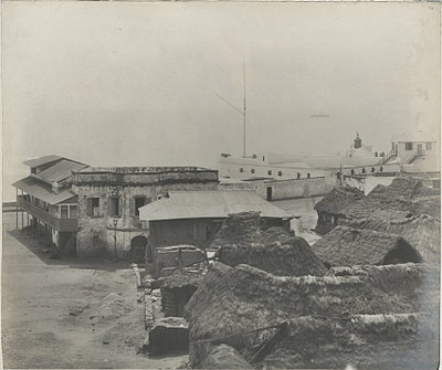
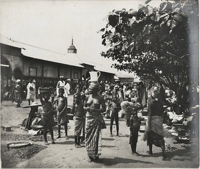
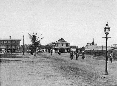
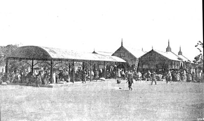
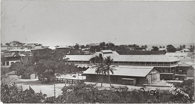
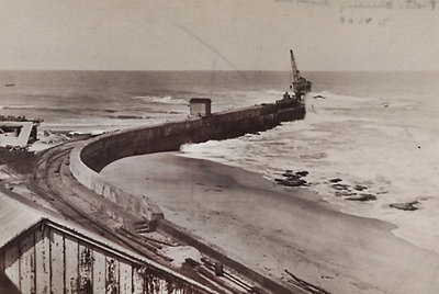
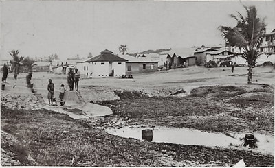
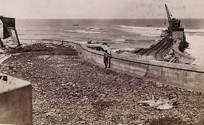
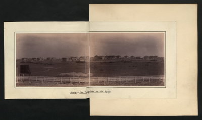
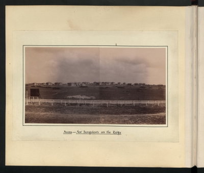
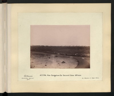
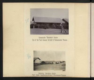
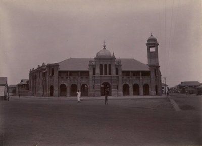
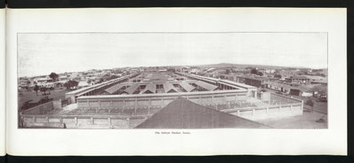
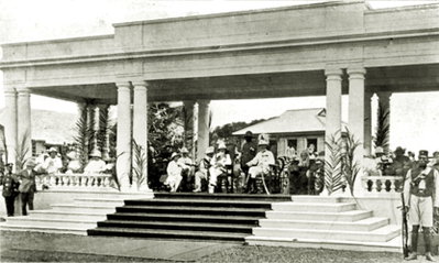
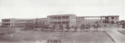
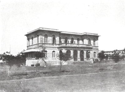
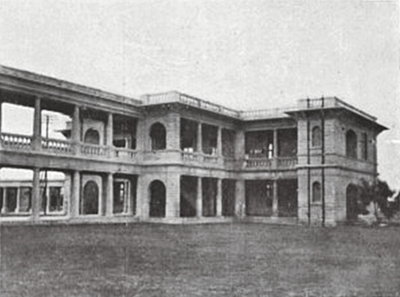
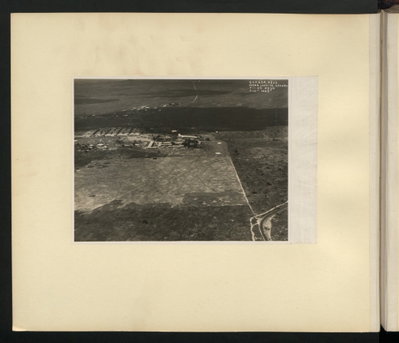
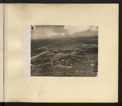
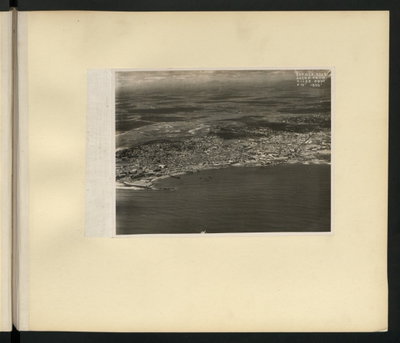
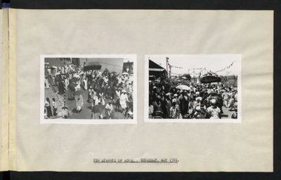
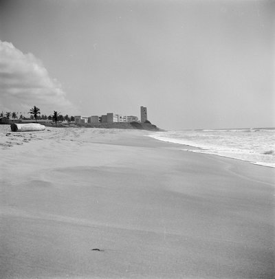
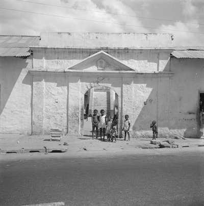
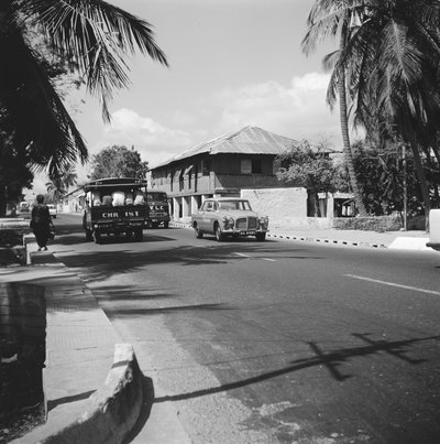
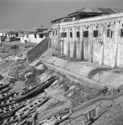
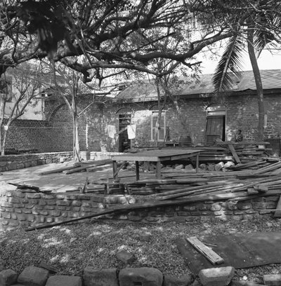
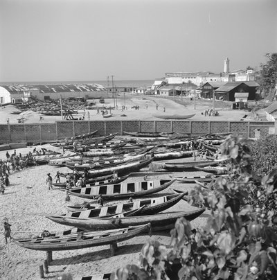
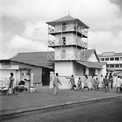
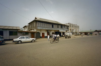
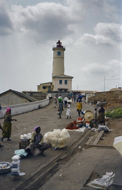
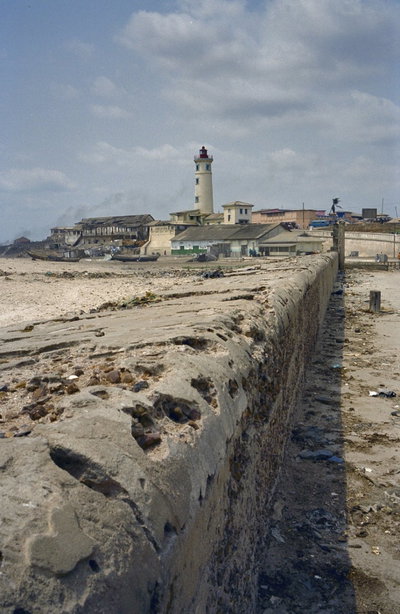
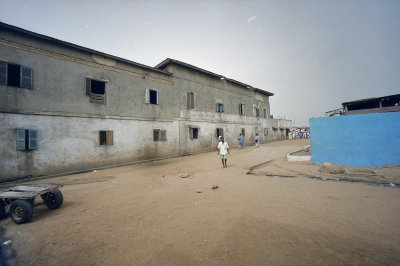
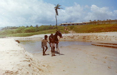
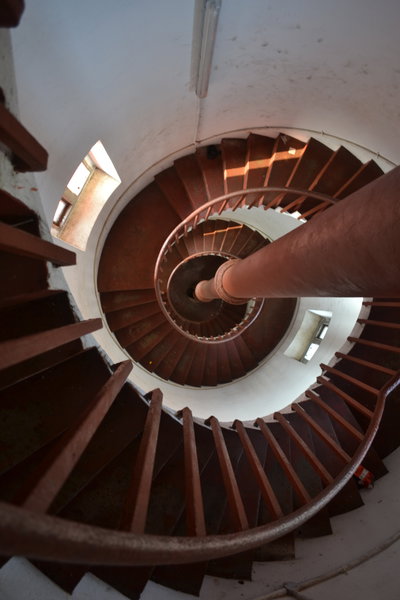
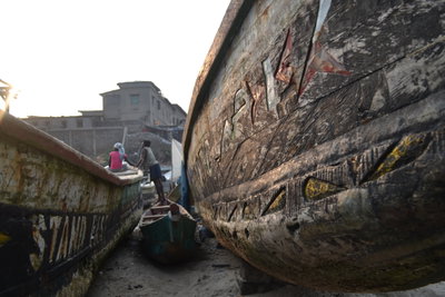
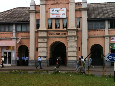
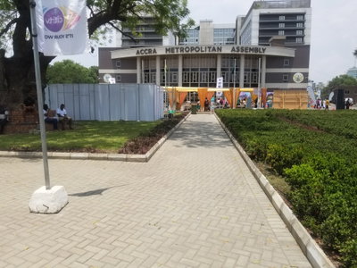
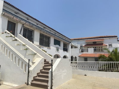
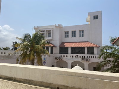
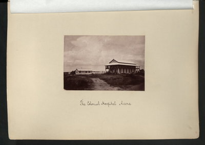
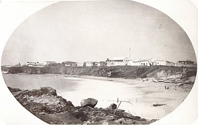
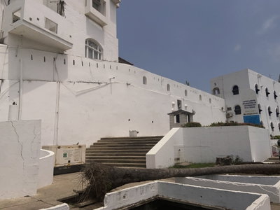
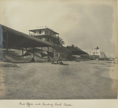
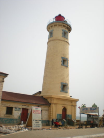
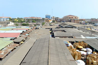
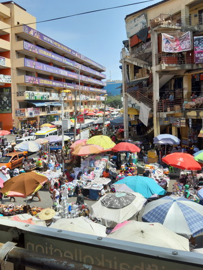
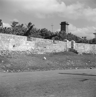
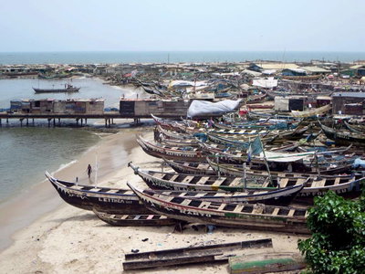
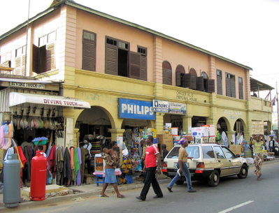
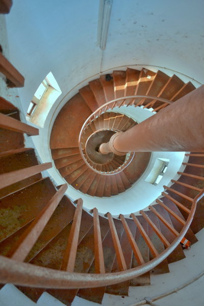
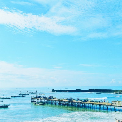
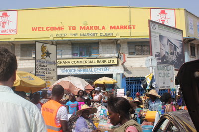
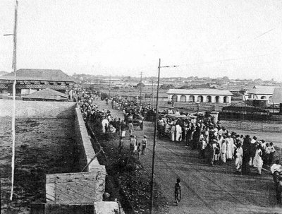
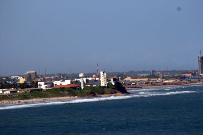
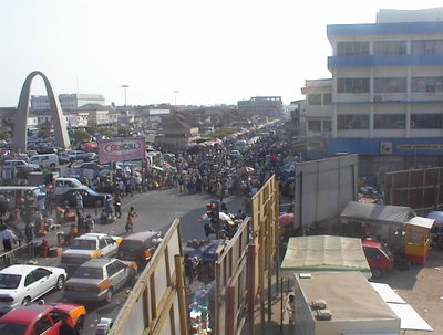
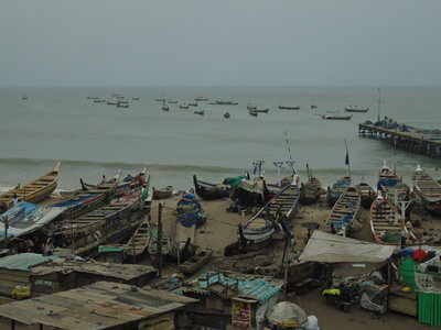
Old photographs of Accra typically show the coastal forts and lighthouse, fishing canoes on the beach at Jamestown, colonial offices along the High Street, markets such as Makola, and the celebrations of independence.
What the photos show
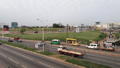
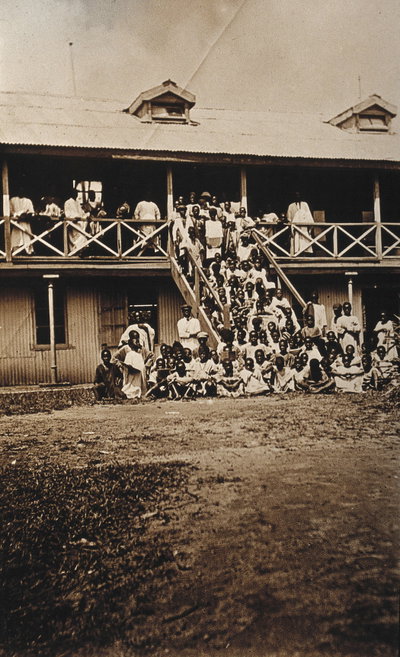
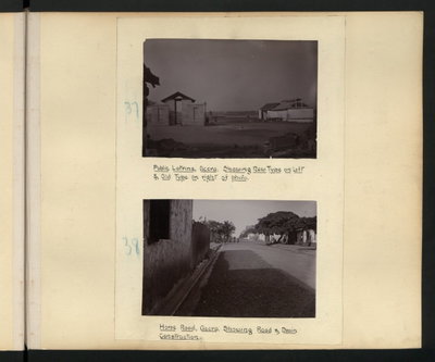
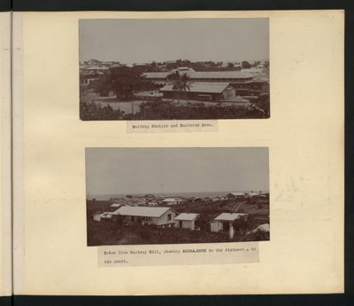
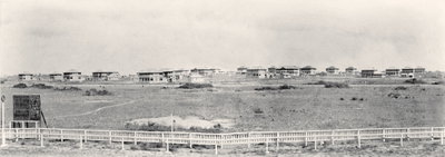
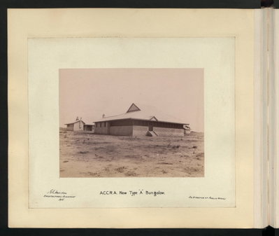
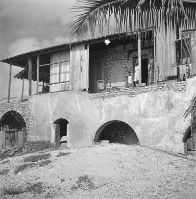
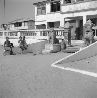
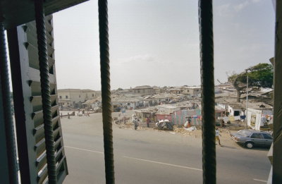
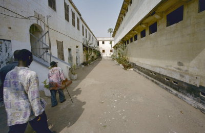
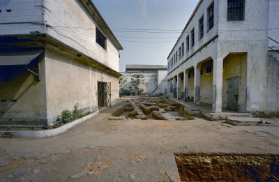
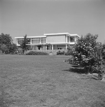
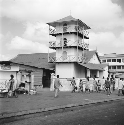
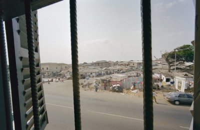
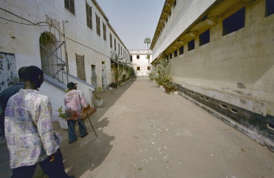
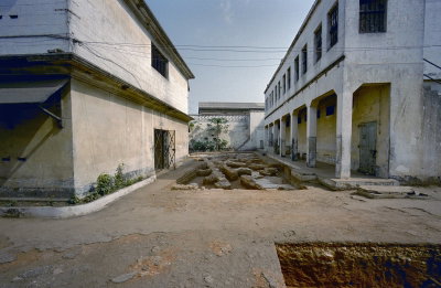
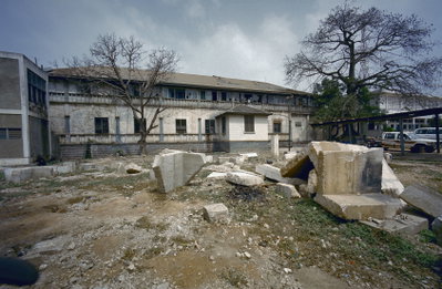
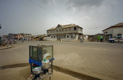
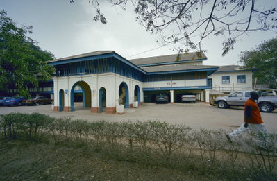
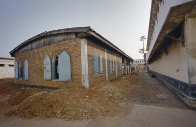
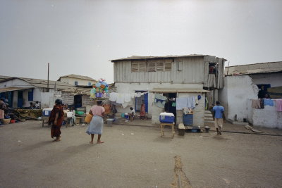
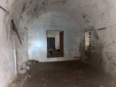
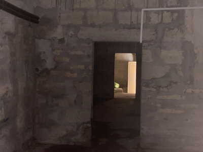
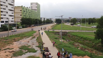
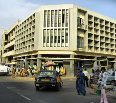
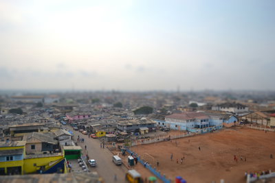
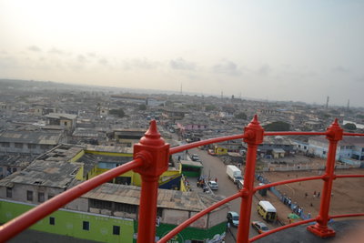
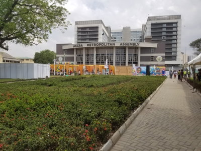
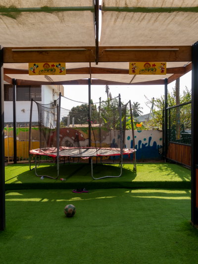
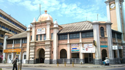
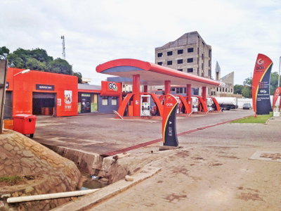
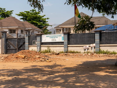
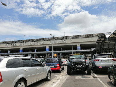
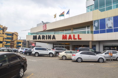
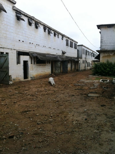
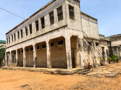
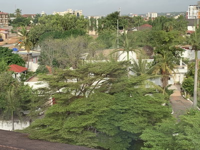
The 329 photographs of Accra on PlaceWas span 11 decades, from 1870 to 2025. 56 of them were taken before 1980; the other 273 are recent views of the same streets and landmarks.47 spots were photographed more than once, so you can compare the same street, square or building across the years.329 of the photos carry a written caption explaining what is in the frame. Every picture is pinned to the place it was taken, so the map below shows where the photographers stood.
Places in Accra through time
Spots photographed more than once — compare the same place across the years.


Stories from Accra
What contributors wrote about these photographs.